31 Belmont Drive, Wirral, CH61 9NA
About 31 Belmont Drive
31 Belmont Drive is a semi-detached house in Wirral (CH61 9NA). It has a recorded floor area of 137 m² (around 1475 sq ft), construction records dating it to 1930-1949 and council tax band D. The latest certificate (January 2024) shows a C (score 69), just inside the C band. When first surveyed in February 2014 the rating was D, the property has climbed 1 band since. Between certificates, wall efficiency went from Very Poor to Poor and window efficiency went from Average to Good. The recommended improvements would push it to B (score 82).
At 137 m² the property is well over the postcode median (99 m² across 21 EPCs), placing it in the larger end of the local stock. Its energy rating outperforms most of the postcode (better than 86% of similar EPCs). Across 1997–2016, sale prices on this property compounded at 5.7% per year. Today's modelled estimate of £344,000 sits 54.6% above the 2016 sale of £222,500. 10 years since the last transfer (March 2016).
Everything you need to know about 31 Belmont Drive
The true value, the hidden risks and the full sale history, in one report.
30-day money-back guarantee

The data behind every report


Energy performance
EPC Rating
Property Improvements
Changes detected from historical EPC data
Heating controls upgraded for better temperature management
Window efficiency improved
Wall insulation improved
More low energy lighting installed
Planning history
31 Belmont Drive has no planning applications on record.
The full report still covers planning activity across the surrounding area.
Sales history & valuation
Sale price has at least doubled since 1997.
£344,000
Modelled from EPC, postcode comparables and a sale-price growth of 5.7% per year over 19 years.
£222,500
Growth on file: 5.7% per year over 19 years.
Sales timeline
30 March 2016Most recent
£222,500
+109.2%over 14 years5 April 2001
£106,350
+36.3%over 3 years29 May 1997
£78,000
Median price across the last 5 sales in CH61 9NA: £313,000 (2023–2021).
Versus other Belmont Drive homes
On epc rating, 31 Belmont Drive stands well clear of the street.
Price per m²
£1,624
Street avg £2,248
Floor Area
137 m²
Street avg 111 m²
Habitable Rooms
7 rooms
Street avg 6 rooms
CO₂ Emissions
4.8 t/year
Street avg 4.9 t/year
Everything you need to know about 31 Belmont Drive
The true value, the hidden risks and the full sale history, in one report.
30-day money-back guarantee
The data behind every report
Similar properties nearby
The neighbourhood at a glance
Daytime road noise here sits well below conversation level — a quiet pocket of the postcode.
Crime
2/mo
Steady year-on-year across the wider district.
Nearest stop
0.1 km
Rosemead Avenue — bus stop.
Closest school
0.5 km
Pensby Primary School. 10 schools nearby.
Go deeper on the local area
The full report breaks down crime, transport links, schools and air quality in depth.
Road noise across the postcode
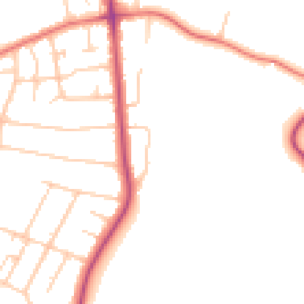
Daytime· 07:00 – 23:00
47.3dB

Night-time· 23:00 – 07:00
38.7dB