41 Belmont Drive, Wirral, CH61 9NA
About 41 Belmont Drive
41 Belmont Drive is a three-bedroom semi-detached house in Wirral (CH61 9NA). It has a recorded floor area of 114 m² (around 1227 sq ft), construction records dating it to 1950-1966 and council tax band D. Other recorded features include notable views. Records show the property has been extended at some point in its history. The latest certificate (May 2022) shows a C (score 69), just inside the C band. The recommended improvements would push it to B (score 83).
At 114 m² it's 15.2% larger than the typical home in the postcode (99 m² median across 21 EPCs). Its energy rating outperforms most of the postcode (better than 86% of similar EPCs). Across 2008–2022, sale prices on this property compounded at 4.3% per year. On a £-per-square-foot basis, the last sale (£262/sq ft) was about 69.6% above the typical sold price in the postcode. Most recent transfer: October 2022 at £321,750. That sale was during the post-pandemic price surge, when transactions cleared materially above pre-2020 trend.
What this property has
Inside
- Bedrooms3
- Bathrooms1
- Utility roomYes
- CloakroomYes
Outside
- GarageYes
- Notable viewsYes
Building
- Previously extendedYes
- RefurbishedYes
Everything you need to know about 41 Belmont Drive
The true value, the hidden risks and the full sale history, in one report.
30-day money-back guarantee

The data behind every report


Energy performance
EPC Rating
Planning history
41 Belmont Drive has no planning applications on record.
The full report still covers planning activity across the surrounding area.
Sales history & valuation
The latest sale landed in the post-pandemic price surge — useful context when reading the figure.
£341,000
Modelled from EPC, postcode comparables and a sale-price growth of 4.3% per year over 14 years.
£321,750
Growth on file: 4.3% per year over 14 years.
Sales timeline
17 October 2022Most recent
£321,750
+68.0%over 6 years18 December 2015
£191,500
+6.4%over 7 years28 November 2008
£180,000
Median price across the last 5 sales in CH61 9NA: £305,000 (2023–2021).
Nearby sales in CH61 9NA
Versus other Belmont Drive homes
On years held, 41 Belmont Drive runs well behind the street norm.
Price per m²
£2,822
Street avg £2,188
Floor Area
114 m²
Street avg 113 m²
Habitable Rooms
5 rooms
Street avg 6 rooms
CO₂ Emissions
4.0 t/year
Street avg 5.0 t/year
Everything you need to know about 41 Belmont Drive
The true value, the hidden risks and the full sale history, in one report.
30-day money-back guarantee
The data behind every report
Similar properties nearby
1 Fender Way
CH61 9NP
1 Beech Avenue, Pensby
CH61 9NU
1 Cestrian Drive
CH61 9PL
1 Kings Drive, Thingwall
CH61 9PX
1 Belmont Drive
CH61 9NA
10 Bentley Road
CH61 9QB
1 Laurelhurst Avenue
CH61 9NY
10 Beech Avenue, Pensby
CH61 9NU
The neighbourhood at a glance
Daytime road noise here sits well below conversation level — a quiet pocket of the postcode.
Crime
2/mo
Steady year-on-year across the wider district.
Nearest stop
0.1 km
Rosemead Avenue — bus stop.
Closest school
0.5 km
Pensby Primary School. 10 schools nearby.
Go deeper on the local area
The full report breaks down crime, transport links, schools and air quality in depth.
Road noise across the postcode
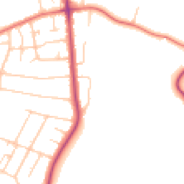
Daytime· 07:00 – 23:00
47.3dB

Night-time· 23:00 – 07:00
38.7dB