9 Haddon Drive, Wirral, CH61 8TF
About 9 Haddon Drive
9 Haddon Drive is a semi-detached house in Wirral (CH61 8TF). It has a recorded floor area of 77 m² (around 829 sq ft), construction records dating it to 1950-1966 and council tax band C. The latest certificate (July 2024) shows an F (score 29), near the bottom of the EPC scale. The recommended improvements would lift it to B (score 82), a 4-band jump. Main heating runs on electricity.
On energy efficiency it sits in the bottom 10% of properties in this postcode — significant headroom for improvement. One planning record on file: an extension approved in 2025. Past consents include an extension, meaningful when judging how the property has evolved. Today's modelled estimate of £231,000 is 40.9% above the 2024 sale price. Sold November 2024 for £164,000.
Everything you need to know about 9 Haddon Drive
The true value, the hidden risks and the full sale history, in one report.
30-day money-back guarantee

The data behind every report


Energy performance
9 Haddon Drive sits at the bottom of the postcode for energy efficiency — meaningful headroom to improve.
EPC Rating
Planning history
9 Haddon Drive has an approved single-storey side and rear extension on the planning record.
- Jan 2025ExtensionFullIn report
Extension: Single storey · Side and rear of property
Proposed single storey side & single storey rear extension.
- Reference
- APPH/25/00029
What's in 9 Haddon Drive, Wirral, CH61 8TF's planning history?
Refusals, disputes and full decisions on this property and nearby, in the report.
Sales history & valuation
9 Haddon Drive valuation sits well clear of the typical sold price in this postcode.
£231,000
Modelled from EPC, postcode comparables.
£164,000
Recorded with HM Land Registry.
Sales timeline
18 November 2024Most recent
£164,000
Median price across the last 5 sales in CH61 8TF: £245,000 (2021–2018).
Versus other Haddon Drive homes
On years held, 9 Haddon Drive runs well behind the street norm.
Price per m²
£2,130
Street avg £2,465
Floor Area
77 m²
Street avg 75 m²
Habitable Rooms
4 rooms
Street avg 4 rooms
CO₂ Emissions
10.0 t/year
Street avg 3.7 t/year
Everything you need to know about 9 Haddon Drive
The true value, the hidden risks and the full sale history, in one report.
30-day money-back guarantee
The data behind every report
Similar properties nearby
The neighbourhood at a glance
Daytime road noise here sits well below conversation level — a quiet pocket of the postcode.
Crime
2/mo
Steady year-on-year across the wider district.
Nearest stop
0.1 km
Ridgewood Drive — bus stop.
Closest school
0.6 km
Ladymount Catholic Primary School. 11 schools nearby.
Go deeper on the local area
The full report breaks down crime, transport links, schools and air quality in depth.
Road noise across the postcode
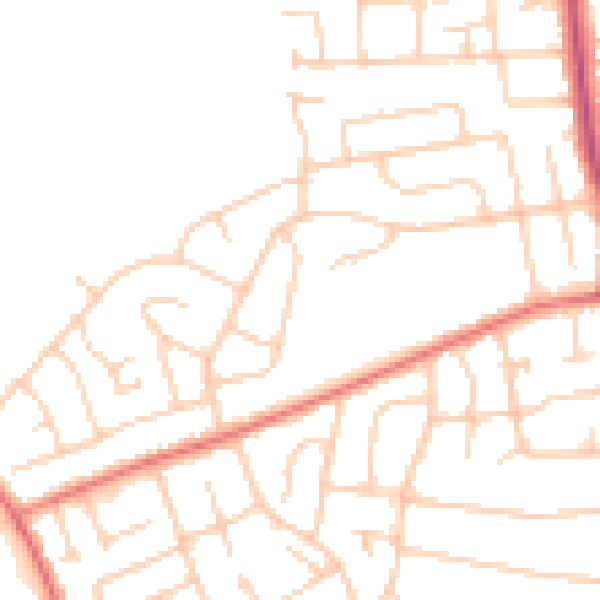
Daytime· 07:00 – 23:00
48.3dB

Night-time· 23:00 – 07:00
37.9dB