1 Southridge Road, Wirral, CH61 8RJ
About 1 Southridge Road
1 Southridge Road is a semi-detached house in Wirral (CH61 8RJ). It has a recorded floor area of 89 m² (around 958 sq ft), construction records dating it to 1930-1949 and council tax band C. The latest certificate (July 2012) returns a B (score 81), comfortably above the UK average. The latest certificate is from July 2012, so improvements made since then won't be reflected.
On energy efficiency it sits in the top 10% of properties in this postcode. 2 planning records sit against the property, 2 approved, 0 refused. Past consents include an extension, meaningful when judging how the property has evolved.
Everything you need to know about 1 Southridge Road
The true value, the hidden risks and the full sale history, in one report.
30-day money-back guarantee

The data behind every report


Energy performance
1 Southridge Road ranks among the most efficient homes in the postcode for energy use.
EPC Expired
This certificate is over 10 years old and is no longer valid.Expired 23 Jul 2022
EPC Rating
Planning history
1 Southridge Road has 2 separate extension applications on the council record.
- Jul 2006ExtensionFullIn report
Extension: Single storey · Side of property
Erection of a single storey side extension
- Documents
- 6 docs on file
- Reference
- APP/06/06039
- Jun 2005ExtensionFullIn report
Extension: Two storey · Side of property
Erection of a two storey side extension
- Documents
- 5 docs on file
- Reference
- APP/05/05768
What's in 1 Southridge Road, Wirral, CH61 8RJ's planning history?
Refusals, disputes and full decisions on this property and nearby, in the report.
Sales history & valuation
1 Southridge Road has no Land Registry sales on file, suggesting it has stayed in the same hands since registration began.
£254,000
Modelled from EPC, postcode comparables.
No sales recorded with HM Land Registry
That can mean the property has never traded since the registry began publishing in 1995, was a new build that hasn't been registered yet, or is held in the same hands long-term.
Median price across the last 5 sales in CH61 8RJ: £299,950 (2025–2023).
Nearby sales in CH61 8RJ
Versus other Southridge Road homes
1 Southridge Road outperforms the street on epc rating by a wide margin.
EPC Rating
81 (B)
Street avg 62 (D)
Floor Area
89 m²
Street avg 92 m²
CO₂ Emissions
1.8 t/year
Street avg 4.4 t/year
Habitable Rooms
7 rooms
Street avg 5 rooms
Everything you need to know about 1 Southridge Road
The true value, the hidden risks and the full sale history, in one report.
30-day money-back guarantee
The data behind every report
Similar properties nearby
The neighbourhood at a glance
Daytime road noise here sits well below conversation level — a quiet pocket of the postcode.
Crime
2/mo
Steady year-on-year across the wider district.
Nearest stop
0.1 km
Ridgemere Road — bus stop.
Closest school
0.7 km
Pensby Primary School. 11 schools nearby.
Go deeper on the local area
The full report breaks down crime, transport links, schools and air quality in depth.
Road noise across the postcode
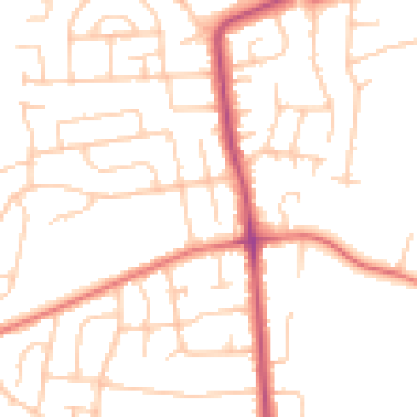
Daytime· 07:00 – 23:00
49.5dB

Night-time· 23:00 – 07:00
39.0dB