26 Southridge Road, Wirral, CH61 8RJ
About 26 Southridge Road
26 Southridge Road is a four-bedroom detached house in Wirral (CH61 8RJ). It has a recorded floor area of 113 m² (around 1216 sq ft), construction records dating it to 1930-1949 and council tax band D. The latest certificate (June 2021) shows a D (score 64), on the cusp of jumping into the C band. The recommended improvements would push it to C (score 78). Other recorded features include a conservatory. Records show the property has been extended at some point in its history. The home occupies a cul-de-sac position.
It changed hands recently, sold January 2025 for £299,950. At 113 m² it's 20.2% larger than the typical home in the postcode (94 m² median across 17 EPCs). Today's modelled estimate of £337,000 is 12.4% above the 2025 sale price. On a £-per-square-foot basis, the last sale (£247/sq ft) was about 33.3% above the typical sold price in the postcode.
What this property has
Inside
- Bedrooms4
- Bathrooms2
- CloakroomYes
- EnsuiteYes
- StudyYes
- ConservatoryYes
Outside
- Private gardenSouth-facing
- GarageDetached
- Cul-de-sacYes
Building
- Previously extendedYes
Everything you need to know about 26 Southridge Road
The true value, the hidden risks and the full sale history, in one report.
30-day money-back guarantee

The data behind every report


Energy performance
EPC Rating
Planning history
26 Southridge Road has no planning applications on record.
The full report still covers planning activity across the surrounding area.
Sales history & valuation
26 Southridge Road valuation sits well clear of the typical sold price in this postcode.
£337,000
Modelled from EPC, postcode comparables.
£299,950
Recorded with HM Land Registry.
Sales timeline
7 January 2025Most recent
£299,950
Median price across the last 5 sales in CH61 8RJ: £252,500 (2025–2023).
Nearby sales in CH61 8RJ
Versus other Southridge Road homes
26 Southridge Road outperforms the street on floor area by a wide margin.
Price per m²
£2,654
Street avg £2,258
Floor Area
113 m²
Street avg 90 m²
Habitable Rooms
6 rooms
Street avg 5 rooms
CO₂ Emissions
4.8 t/year
Street avg 4.2 t/year
Everything you need to know about 26 Southridge Road
The true value, the hidden risks and the full sale history, in one report.
30-day money-back guarantee
The data behind every report
Similar properties nearby
The neighbourhood at a glance
Daytime road noise here sits well below conversation level — a quiet pocket of the postcode.
Crime
2/mo
Steady year-on-year across the wider district.
Nearest stop
0.1 km
Ridgemere Road — bus stop.
Closest school
0.7 km
Pensby Primary School. 11 schools nearby.
Go deeper on the local area
The full report breaks down crime, transport links, schools and air quality in depth.
Road noise across the postcode
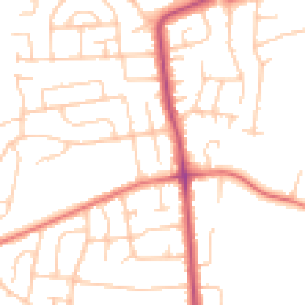
Daytime· 07:00 – 23:00
49.5dB

Night-time· 23:00 – 07:00
39.0dB