7 Southridge Road, Wirral, CH61 8RJ
About 7 Southridge Road
7 Southridge Road is a two-bedroom semi-detached house in Wirral (CH61 8RJ). It has a recorded floor area of 97 m² (around 1044 sq ft), construction records dating it to 1930-1949 and council tax band B. The latest certificate (July 2023) shows an E (score 52), well below the UK norm with real room to improve. The recommended improvements would lift it to C (score 75), a 2-band jump. Other recorded features include a conservatory. Our model identifies extension potential, subject to local planning policy.
It lags the bulk of the postcode on energy efficiency (less efficient than 76% of similar EPCs). Across 2003–2024, sale prices on this property compounded at 3.3% per year. On a £-per-square-foot basis, the last sale (£242/sq ft) was about 30.1% above the typical sold price in the postcode. Sold February 2024 for £252,500.
What this property has
Inside
- Bedrooms2
- Bathrooms1
- Dining roomYes
- CloakroomYes
- ConservatoryYes
Outside
- Private gardenYes
- DrivewayYes
Building
- Heating systemGas
- Extension potentialPossible
Everything you need to know about 7 Southridge Road
The true value, the hidden risks and the full sale history, in one report.
30-day money-back guarantee

The data behind every report


Energy performance
Recommended upgrades on file would lift this property by multiple EPC bands.
EPC Rating
Planning history
7 Southridge Road has no planning applications on record.
The full report still covers planning activity across the surrounding area.
Sales history & valuation
7 Southridge Road valuation sits well clear of the typical sold price in this postcode.
£263,000
Modelled from EPC, postcode comparables and a sale-price growth of 3.3% per year over 20 years.
£252,500
Growth on file: 3.3% per year over 20 years.
Sales timeline
22 February 2024Most recent
£252,500
+94.2%over 20 years3 November 2003
£130,000
Median price across the last 5 sales in CH61 8RJ: £299,950 (2025–2023).
Nearby sales in CH61 8RJ
Versus other Southridge Road homes
EPC Rating for 7 Southridge Road lags the street by a wide margin.
Price per m²
£2,603
Street avg £2,262
Floor Area
97 m²
Street avg 91 m²
Habitable Rooms
5 rooms
Street avg 5 rooms
CO₂ Emissions
5.6 t/year
Street avg 4.1 t/year
Everything you need to know about 7 Southridge Road
The true value, the hidden risks and the full sale history, in one report.
30-day money-back guarantee
The data behind every report
Similar properties nearby
1 Kenilworth Drive
CH61 8SA
1 Woodend
CH61 8RU
1 Ridgefield Road
CH61 8RS
1 Haddon Drive
CH61 8TF
1 Chatsworth Road
CH61 8RX
10 Copeland Close
CH61 8TH
1 Beeston Drive
CH61 8TD
1 Northridge Road
CH61 8RH
The neighbourhood at a glance
Daytime road noise here sits well below conversation level — a quiet pocket of the postcode.
Crime
2/mo
Steady year-on-year across the wider district.
Nearest stop
0.1 km
Ridgemere Road — bus stop.
Closest school
0.7 km
Pensby Primary School. 11 schools nearby.
Go deeper on the local area
The full report breaks down crime, transport links, schools and air quality in depth.
Road noise across the postcode
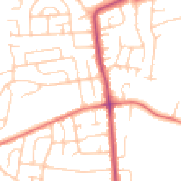
Daytime· 07:00 – 23:00
49.5dB

Night-time· 23:00 – 07:00
39.0dB