10 Copeland Close, Wirral, CH61 8TH
About 10 Copeland Close
10 Copeland Close is a two-bedroom detached house in Wirral (CH61 8TH). It has a recorded floor area of 51 m² (around 549 sq ft), construction records dating it to 1983-1990 and council tax band C. The latest certificate (April 2016) shows a D (score 58), a step below the typical UK home. The recommended improvements would lift it to B (score 86), a 2-band jump. The latest certificate is from April 2016, so improvements made since then won't be reflected. Other recorded features include a conservatory.
Last changed hands 9 years ago, in June 2017. Today's modelled estimate of £209,000 is 39.3% above the 2017 sale price.
What this property has
Inside
- Bedrooms2
- Bathrooms1
- Dining roomYes
- ConservatoryYes
Outside
- Private gardenRear
- ParkingYes
Building
- Heating systemGas
- RefurbishedYes
Everything you need to know about 10 Copeland Close
The true value, the hidden risks and the full sale history, in one report.
30-day money-back guarantee

The data behind every report


Energy performance
Recommended upgrades on file would lift this property by multiple EPC bands.
EPC Expired
This certificate is over 10 years old and is no longer valid.Expired 19 Apr 2026
EPC Rating
Planning history
10 Copeland Close has no planning applications on record.
The full report still covers planning activity across the surrounding area.
Sales history & valuation
10 Copeland Close valuation sits well clear of the typical sold price in this postcode.
£209,000
Modelled from EPC, postcode comparables.
£150,000
Recorded with HM Land Registry.
Sales timeline
25 June 2017Most recent
£150,000
Median price across the last 5 sales in CH61 8TH: £185,000 (2025–2021).
Nearby sales in CH61 8TH
Versus other Copeland Close homes
On price per m², 10 Copeland Close runs well behind the street norm.
Price per m²
£2,941
Street avg £3,275
Floor Area
51 m²
Street avg 53 m²
Habitable Rooms
3 rooms
Street avg 3 rooms
CO₂ Emissions
3.0 t/year
Street avg 2.5 t/year
Everything you need to know about 10 Copeland Close
The true value, the hidden risks and the full sale history, in one report.
30-day money-back guarantee
The data behind every report
Similar properties nearby
The neighbourhood at a glance
Daytime road noise here sits well below conversation level — a quiet pocket of the postcode.
Crime
2/mo
Steady year-on-year across the wider district.
Nearest stop
0.1 km
Fishers Lane — bus stop.
Closest school
0.3 km
Pensby High School. 9 schools nearby.
Go deeper on the local area
The full report breaks down crime, transport links, schools and air quality in depth.
Road noise across the postcode
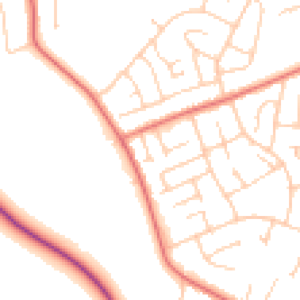
Daytime· 07:00 – 23:00
49.8dB

Night-time· 23:00 – 07:00
39.6dB