17 Haddon Drive, Wirral, CH61 8TF
About 17 Haddon Drive
17 Haddon Drive is a two-bedroom semi-detached house in Wirral (CH61 8TF). It has a recorded floor area of 63 m² (around 674 sq ft), construction records dating it to 1950-1966 and council tax band C. The latest certificate (October 2011) shows an E (score 54), well below the UK norm with real room to improve. The recommended improvements would lift it to C (score 69), a 2-band jump. The latest certificate is from October 2011, so improvements made since then won't be reflected. Other recorded features include a conservatory.
It lags the bulk of the postcode on energy efficiency (less efficient than 79% of similar EPCs). Across 2012–2015, sale prices on this property compounded at 5.4% per year. Today's modelled estimate of £240,000 is 33.5% above the 2015 sale price. On a £-per-square-foot basis, the last sale (£267/sq ft) was about 42.7% above the typical sold price in the postcode. On the market in November 2015 and unlisted since — roughly 11 years.
What this property has
Inside
- Bedrooms2
- Dining roomYes
- EnsuiteYes
- ConservatoryYes
Outside
- Private gardenYes
Building
- RefurbishedYes
Everything you need to know about 17 Haddon Drive
The true value, the hidden risks and the full sale history, in one report.
30-day money-back guarantee

The data behind every report


Energy performance
Recommended upgrades on file would lift this property by multiple EPC bands.
EPC Expired
This certificate is over 10 years old and is no longer valid.Expired 19 Oct 2021
EPC Rating
Planning history
17 Haddon Drive has no planning applications on record.
The full report still covers planning activity across the surrounding area.
Sales history & valuation
17 Haddon Drive saw 3 transfers in just over a decade — high turnover for the postcode.
£240,000
Modelled from EPC, postcode comparables and a sale-price growth of 5.4% per year over 3 years.
£179,750
Growth on file: 5.4% per year over 3 years.
Sales timeline
13 November 2015Most recent
£179,750
+8.9%over 1 year13 December 2013
£165,000
+10.0%over 1 year24 May 2012
£149,950
Median price across the last 5 sales in CH61 8TF: £245,000 (2024–2020).
Versus other Haddon Drive homes
17 Haddon Drive is notably below the street on floor area.
Price per m²
£2,870
Street avg £2,403
Floor Area
63 m²
Street avg 76 m²
Habitable Rooms
3 rooms
Street avg 4 rooms
CO₂ Emissions
4.0 t/year
Street avg 4.2 t/year
Everything you need to know about 17 Haddon Drive
The true value, the hidden risks and the full sale history, in one report.
30-day money-back guarantee
The data behind every report
Similar properties nearby
1 Ridgefield Road
CH61 8RS
1 Woodend
CH61 8RU
1 Kenilworth Drive
CH61 8SA
1 Chatsworth Road
CH61 8RX
10 Copeland Close
CH61 8TH
1 Haddon Drive
CH61 8TF
1 Northridge Road
CH61 8RH
1 Beeston Drive
CH61 8TD
The neighbourhood at a glance
Daytime road noise here sits well below conversation level — a quiet pocket of the postcode.
Crime
2/mo
Steady year-on-year across the wider district.
Nearest stop
0.1 km
Ridgewood Drive — bus stop.
Closest school
0.6 km
Ladymount Catholic Primary School. 11 schools nearby.
Go deeper on the local area
The full report breaks down crime, transport links, schools and air quality in depth.
Road noise across the postcode
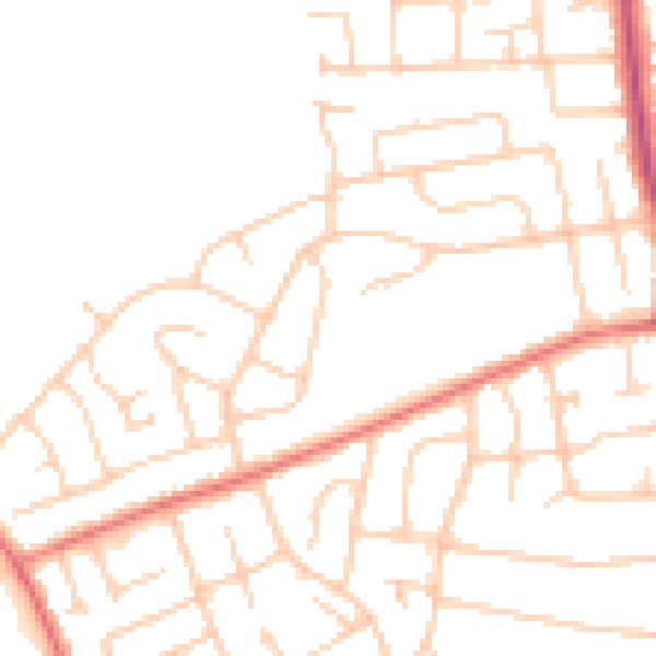
Daytime· 07:00 – 23:00
48.3dB

Night-time· 23:00 – 07:00
37.9dB