9a, Rowson Street, Wallasey, CH45 5AR
About 9a
9a is a two-bedroom end-of-terrace house in Wallasey (CH45 5AR). It has a recorded floor area of 75 m² (around 807 sq ft), construction records dating it to 1900-1929 and council tax band A. At 75 m² this is the 3rd smallest of 13 units on EPC record in the building, where floor areas span 48–133 m². The building's EPC ratings span E to C across 13 units on file. The latest certificate (July 2025) shows a D (score 67), on the cusp of jumping into the C band. The recommended improvements would push it to C (score 76).
Held since August 2006 — that's 20 years off the open market, well above the local norm. At 75 m² it's 20.6% smaller than the typical home in the postcode (95 m² median across 12 EPCs). It lags the bulk of the postcode on energy efficiency (less efficient than 83% of similar EPCs). Today's modelled estimate of £118,000 is 47.5% above the 2006 sale price. On a £-per-square-foot basis, the last sale (£99/sq ft) was about 29.9% above the typical sold price in the postcode.
What this property has
Inside
- Bedrooms2
- Bathrooms1
- Dining roomYes
Building
- Heating systemGas
Everything you need to know about 9a
The true value, the hidden risks and the full sale history, in one report.
30-day money-back guarantee

The data behind every report


Energy performance
EPC Rating
Get a survey for this property
Level 3 Building Survey
Because the property was built before 1919 and has solid (non-cavity) walls, we believe a Level 3 building survey should be considered.
From £820 · Includes VAT
Planning history
9a has no planning applications on record.
The full report still covers planning activity across the surrounding area.
Sales history & valuation
9a valuation sits well clear of the typical sold price in this postcode.
£118,000
Modelled from EPC, postcode comparables.
£80,000
Recorded with HM Land Registry.
Sales timeline
17 August 2006Most recent
£80,000
Median price across the last 5 sales in CH45 5AR: £126,500 (2024–2022).
Nearby sales in CH45 5AR
Versus other Rowson Street homes
EPC Rating for 9a lags the street by a wide margin.
Price per m²
£1,067
Street avg £998
Floor Area
75 m²
Street avg 90 m²
Habitable Rooms
4 rooms
Street avg 4 rooms
CO₂ Emissions
2.3 t/year
Street avg 3.7 t/year
Everything you need to know about 9a
The true value, the hidden risks and the full sale history, in one report.
30-day money-back guarantee
The data behind every report
Similar properties nearby
The neighbourhood at a glance
Crime
5/mo
Steady year-on-year across the wider district.
Nearest stop
0.0 km
Sandridge Road — bus stop.
Closest school
0.3 km
New Brighton Primary School. 17 schools nearby.
Go deeper on the local area
The full report breaks down crime, transport links, schools and air quality in depth.
Road noise across the postcode
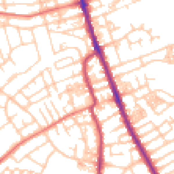
Daytime· 07:00 – 23:00
52.9dB

Night-time· 23:00 – 07:00
41.1dB