29 Prentice Road, Birkenhead, CH42 4PP
About 29 Prentice Road
29 Prentice Road is a three-bedroom semi-detached house in Birkenhead (CH42 4PP). It has a recorded floor area of 78 m² (around 840 sq ft), construction records dating it to 1900-1929 and council tax band A. Tenure is freehold. The latest certificate (February 2022) shows a D (score 61), on the cusp of jumping into the C band. The recommended improvements would lift it to B (score 81), a 2-band jump.
Last sale on file: £127,000 in June 2022. Across the public record there are 5 sales, relatively high churn for a single property. That sale was during the post-pandemic price surge, when transactions cleared materially above pre-2020 trend. Across 1999–2022, sale prices on this property compounded at 6.9% per year. Today's modelled estimate of £164,000 is 29.1% above the 2022 sale price. On a £-per-square-foot basis, the last sale (£151/sq ft) was about 47.5% above the typical sold price in the postcode.
What this property has
Inside
- Bedrooms3
- Bathrooms1
Outside
- Private gardenYes
Building
- TenureFreehold
- RefurbishedYes
Everything you need to know about 29 Prentice Road
The true value, the hidden risks and the full sale history, in one report.
30-day money-back guarantee

The data behind every report


Energy performance
Recommended upgrades on file would lift this property by multiple EPC bands.
EPC Rating
Planning history
29 Prentice Road has no planning applications on record.
The full report still covers planning activity across the surrounding area.
Sales history & valuation
Latest sale on 29 Prentice Road was the highest on Land Registry record across the postcode.
£164,000
Modelled from EPC, postcode comparables and a sale-price growth of 6.9% per year over 23 years.
£127,000
Growth on file: 6.9% per year over 23 years.
Sales timeline
9 June 2022Most recent
£127,000
+19.8%over 14 years27 September 2007
£106,000
+76.7%over 2 years5 July 2005
£60,000
+106.9%over 3 years20 March 2002
£29,000
+7.4%over 2 years6 April 1999
£27,000
Median price across the last 5 sales in CH42 4PP: £100,000 (2021–2017).
Nearby sales in CH42 4PP
Versus other Prentice Road homes
On years held, 29 Prentice Road runs well behind the street norm.
Price per m²
£1,628
Street avg £1,212
Floor Area
78 m²
Street avg 76 m²
Habitable Rooms
5 rooms
Street avg 4 rooms
CO₂ Emissions
3.9 t/year
Street avg 3.1 t/year
Everything you need to know about 29 Prentice Road
The true value, the hidden risks and the full sale history, in one report.
30-day money-back guarantee
The data behind every report
Similar properties nearby
1 Solly Avenue
CH42 4QR
1 Moore Avenue
CH42 4QT
1 Thorpe Bank
CH42 4NP
1 Egerton Gardens
CH42 4SB
1 Highfield Mews, Highfield South
CH42 4RP
1 Delyn Close
CH42 4RH
1 Briarswood Close
CH42 4LZ
1 The Cokers
CH42 4RT
The neighbourhood at a glance
Rail-style transport is unusually close for this postcode.
Crime
8/mo
Steady year-on-year across the wider district.
Nearest stop
0.2 km
Birkett Road — bus stop.
Closest school
0.4 km
St Anne's Catholic Primary School. 29 schools nearby.
Go deeper on the local area
The full report breaks down crime, transport links, schools and air quality in depth.
Road noise across the postcode
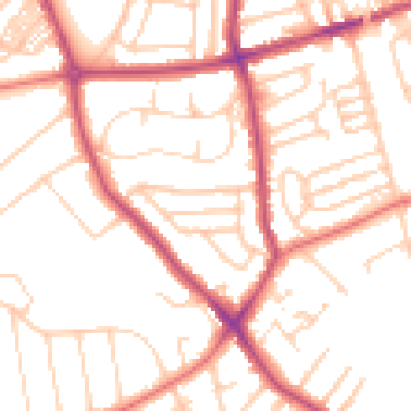
Daytime· 07:00 – 23:00
51.6dB

Night-time· 23:00 – 07:00
41.3dB