1 Prentice Road, Birkenhead, CH42 4PP
About 1 Prentice Road
1 Prentice Road is a semi-detached house in Birkenhead (CH42 4PP). It has a recorded floor area of 77 m² (around 829 sq ft), construction records dating it to 1950-1966 and council tax band A. The latest certificate (November 2018) shows a D (score 65), on the cusp of jumping into the C band. The recommended improvements would lift it to B (score 88), a 2-band jump.
Across 2008–2021, sale prices on this property compounded at 1.9% per year. Today's modelled estimate of £134,000 is 22.9% above the 2021 sale price. On a £-per-square-foot basis, the last sale (£132/sq ft) was about 30.4% above the typical sold price in the postcode. Most recent transfer: May 2021 at £109,000. That sale was during the post-pandemic price surge, when transactions cleared materially above pre-2020 trend.
Everything you need to know about 1 Prentice Road
The true value, the hidden risks and the full sale history, in one report.
30-day money-back guarantee

The data behind every report


Energy performance
Recommended upgrades on file would lift this property by multiple EPC bands.
EPC Rating
Planning history
1 Prentice Road has no planning applications on record.
The full report still covers planning activity across the surrounding area.
Sales history & valuation
The latest sale landed in the post-pandemic price surge — useful context when reading the figure.
£134,000
Modelled from EPC, postcode comparables and a sale-price growth of 1.9% per year over 13 years.
£109,000
Growth on file: 1.9% per year over 13 years.
Sales timeline
6 May 2021Most recent
£109,000
+28.2%over 13 years10 April 2008
£85,000
Median price across the last 5 sales in CH42 4PP: £100,000 (2022–2017).
Nearby sales in CH42 4PP
Versus other Prentice Road homes
On years held, 1 Prentice Road runs well behind the street norm.
Price per m²
£1,416
Street avg £1,235
Floor Area
77 m²
Street avg 76 m²
Habitable Rooms
4 rooms
Street avg 4 rooms
CO₂ Emissions
3.3 t/year
Street avg 3.1 t/year
Everything you need to know about 1 Prentice Road
The true value, the hidden risks and the full sale history, in one report.
30-day money-back guarantee
The data behind every report
Similar properties nearby
The neighbourhood at a glance
Rail-style transport is unusually close for this postcode.
Crime
8/mo
Steady year-on-year across the wider district.
Nearest stop
0.2 km
Birkett Road — bus stop.
Closest school
0.4 km
St Anne's Catholic Primary School. 29 schools nearby.
Go deeper on the local area
The full report breaks down crime, transport links, schools and air quality in depth.
Road noise across the postcode
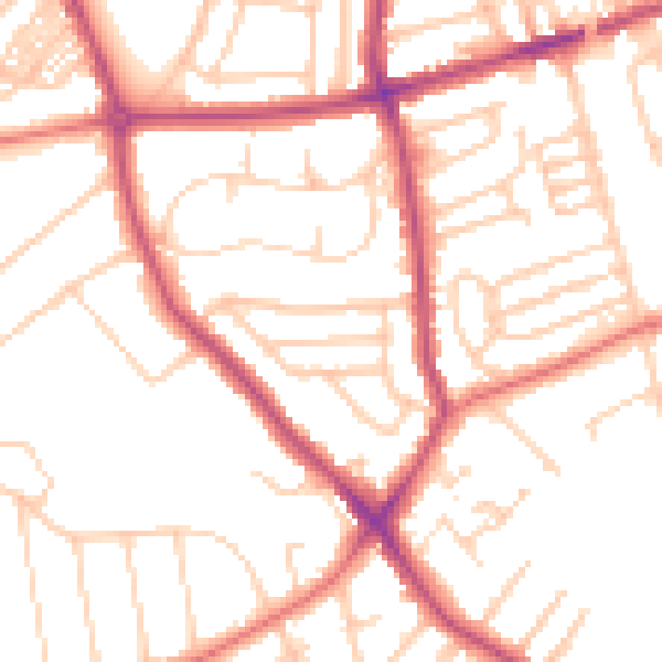
Daytime· 07:00 – 23:00
51.6dB

Night-time· 23:00 – 07:00
41.3dB