Model valuation£417,0008 Busby Close
Local market context
Brookdale is a property in Tattenhall, Chester, Chester (CH3 9PX). It has council tax band B.
On the market in September 2015 and unlisted since — roughly 11 years. Across 2015–2015, sale prices on this property compounded at 120.6% per year. One historical planning record sits against the property in 2015.
The true value, the hidden risks and the full sale history, in one report.
Pick your report · from £14.99
One time fee only - money back guarantee

The data behind every report


This property doesn't have an Energy Performance Certificate yet. An EPC is required to sell or let — and unlocks our automated valuation.

Get a survey for this property
We've checked 10 risk factors against the available data for this property and believe a Level 2 HomeBuyer Report could be a suitable option for you.
1 application on record at Brookdale, High Street, Tattenhall, Chester, CH3 9PX
Change of use of ground floor in part from veterinary surgery to residential with minor alterations to layout and elevations. Amendment to car parking and access and private amenity garden space added to front.
You're seeing the shape of it. The report has the substance.
One time fee only - money back guarantee
Brookdale has more than doubled in price since the earliest registered sale in 2015.
£695,000
Growth on file: 120.6% per year over 1 year.
15 September 2015Most recent
£695,000
+120.6%over 7 months27 February 2015
£315,000
Median price across the last 5 sales in CH3 9PX: £295,000 (2025–2022).
Alpha House, High Street, Tattenhall, Chester, CH3 9PX
Sold Jun 2025
Medway House, High Street, Tattenhall, Chester, CH3 9PX
Sold Mar 2023
Rock Bank, High Street, Tattenhall, Chester, CH3 9PX
Sold Dec 2022
Sunny View, High Street, Tattenhall, Chester, CH3 9PX
Sold Jun 2022
Sandstone Rise, High Street, Tattenhall, Chester, CH3 9PX
Sold Jun 2022
Property research, connected
Explore sale histories, valuations, energy ratings and local areas. Ask the assistant to connect the details and take your research further.
Start your researchCH3 9JJ
CH3 9SL
CH3 9BN
CH3 9EY
CH3 9FY
CH3 9RH
CH3 9EZ
CH3 9BF
Daytime road noise here sits well below conversation level — a quiet pocket of the postcode.
Crime
94/mo
Falling year-on-year across the wider district.
Nearest stop
0.1 km
Post Office — bus stop.
Closest school
1.9 km
Tattenhall Park Primary School. 1 school nearby.
Go deeper on the local area
A Local Area report breaks down crime, transport links, schools and air quality in depth.
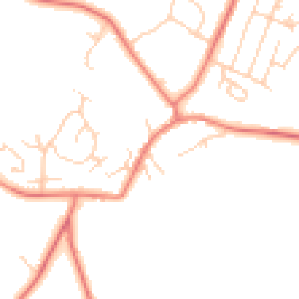
Daytime· 07:00 – 23:00
47.0dB

Night-time· 23:00 – 07:00
37.1dB