Flat 2, 12 Faulkner Street, Hoole, Chester, CH2 3BD
About Flat 2
Flat 2 is a mid-terrace house in Hoole, Chester, Chester (CH2 3BD). It has a recorded floor area of 44 m² (around 474 sq ft), construction records dating it to 1930-1949 and council tax band A. The latest certificate (July 2022) shows a C (score 71).
On energy efficiency it sits in the top 10% of properties in this postcode. Today's modelled estimate of £131,000 sits 72.4% above the 2023 sale of £76,000. Last sale on file: £76,000 in February 2023.
Everything you need to know about Flat 2
The true value, the hidden risks and the full sale history, in one report.
Pick your report · every report is £14.99
One time fee only - money back guarantee

The data behind every report


Energy performance
Flat 2 ranks among the most efficient homes in the postcode for energy use.
EPC Rating
Get a survey for this property
Level 3 Building Survey
Because the property has solid (non-cavity) walls, we believe a Level 3 building survey should be considered.
From £820 · Includes VAT
Planning history
Flat 2 has no planning applications on record.
But the area is active
3 notable applications nearby — larger schemes and conversions that could reshape the street. The report maps them all.
Sales history & valuation
£131,000
Modelled from EPC, postcode comparables.
£76,000
Recorded with HM Land Registry.
Sales timeline
17 February 2023Most recent
£76,000
Median price across the last 5 sales in CH2 3BD: £109,000 (2021–2010).
Nearby sales in CH2 3BD
39 Faulkner Street, Hoole, Chester, CH2 3BD
Sold Nov 2021
£135,00041 Faulkner Street, Hoole, Chester, CH2 3BD
Sold Jan 2019
£135,0007a, Faulkner Street, Hoole, Chester, CH2 3BD
Sold Mar 2010
£68,0009a, Faulkner Street, Hoole, Chester, CH2 3BD
Sold Dec 2007
£225,000Flat 3, 14 Faulkner Street, Hoole, Chester, CH2 3BD
Sold May 2007
£97,000
Versus other Faulkner Street homes
Price per m² for Flat 2 lags the street by a wide margin.
Price per m²
£1,727
Street avg £3,674
Floor Area
44 m²
Street avg 47 m²
Habitable Rooms
2 rooms
Street avg 2 rooms
CO₂ Emissions
1.8 t/year
Street avg 4.4 t/year
Everything you need to know about Flat 2
The true value, the hidden risks and the full sale history, in one report.
Pick your report · every report is £14.99
One time fee only - money back guarantee
The data behind every report
Similar properties nearby
Birch Tree Court, Flat 1, West Street, Hoole
CH2 3PH
Birch Tree Court, Flat 11, West Street, Hoole
CH2 3PH
Beta Flat, 143 Hoole Lane
CH2 3EG
Birch Tree Court, Flat 14, West Street, Hoole
CH2 3PH
Alderney House, Flat 33, Willow Crescent
CH2 3LX
Birch Tree Court, Flat 3, West Street, Hoole
CH2 3PH
Birch Tree Court, Flat 2, West Street, Hoole
CH2 3PH
Alderney House, Flat 27, Willow Crescent
CH2 3LX
The neighbourhood at a glance
Rail-style transport is unusually close for this postcode.
Crime
2/mo
Steady year-on-year across the wider district.
Nearest stop
0.1 km
Faulkner Street — bus stop.
Closest school
0.4 km
St Martin's Academy Chester. 19 schools nearby.
Go deeper on the local area
A Local Area report breaks down crime, transport links, schools and air quality in depth.
Road noise across the postcode
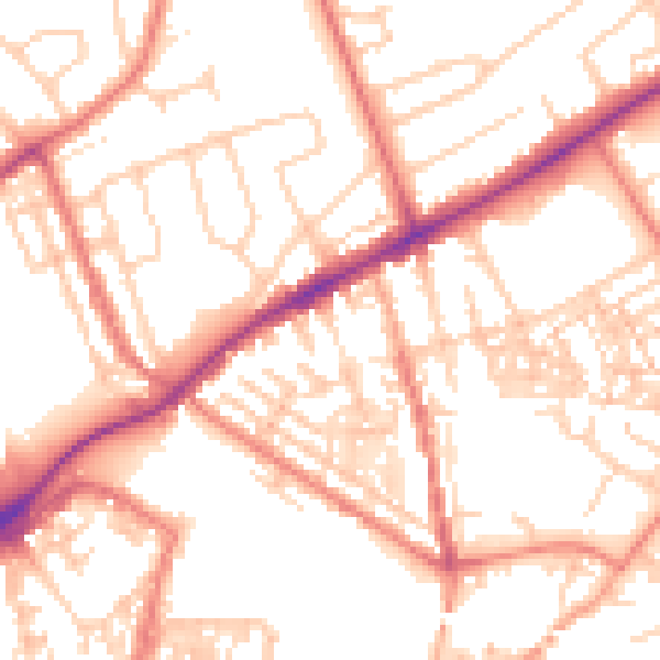
Daytime· 07:00 – 23:00
53.2dB
Night-time· 23:00 – 07:00
42.3dB