7a, Beales Way, Cambridge, CB4 2PW
About 7a
7a is a detached house in Cambridge (CB4 2PW). It has a recorded floor area of 48 m² (around 517 sq ft). The latest certificate (July 2017) shows a C (score 77), near the top of the C band. The recommended improvements would push it to B (score 82). Main heating runs on electricity: electricity, unspecified tariff.
At 48 m² it sits well below the postcode median (77 m² across 15 EPCs), making it one of the more compact homes locally.
Know exactly what you're buying at 7a
Before you offer, see what the listing won't tell you, the true value, the red flags and the full history.
Already flagged here
Valuation
against the asking price
Risks
planning & flood
Sold prices
similar homes nearby
Trends
the local market
Energy performance
7a's carbon output is low for the local stock.
EPC Rating
Planning history
7a has no planning applications on record.
Notable planning nearby
14applications of note in the surrounding area
We flagged 2 things worth checking at 7a
Independent checks surfaced things a buyer would want to understand before offering. The report explains each one in full, with the underlying data and what to ask.
- Signs of HMO activity in the area
- Larger development activity nearby
30-day money-back guarantee
Sales history & valuation
7a has no Land Registry sales on file, suggesting it has stayed in the same hands since registration began.
£334,000
Modelled from EPC, postcode comparables.
No sales recorded with HM Land Registry
That can mean the property has never traded since the registry began publishing in 1995, was a new build that hasn't been registered yet, or is held in the same hands long-term.
Median price across the last 5 sales in CB4 2PW: £370,000 (2024–2021).
Everything we know about 7a, in one report
What it's really worth, what could be wrong, and the planning, sales and area data in full.
What we flagged
- Signs of HMO activity in the area
- Larger development activity nearby

Versus other Beales Way homes
On floor area, 7a runs well behind the street norm.
EPC Rating
77 (C)
Street avg 69 (D)
Floor Area
48 m²
Street avg 76 m²
CO₂ Emissions
1.3 t/year
Street avg 2.9 t/year
Similar properties nearby
The neighbourhood at a glance
Crime
7/mo
Steady year-on-year across the wider district.
Nearest stop
1.5 km
Cambridge North Rail Station — railway station.
Closest school
0.5 km
The Grove Primary School. 20 schools nearby.
Go deeper on the local area
The full report breaks down crime, transport links, schools and air quality in depth.
Road noise across the postcode
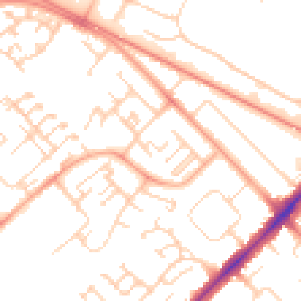
Daytime· 07:00 – 23:00
51.9dB

Night-time· 23:00 – 07:00
41.6dB