29 Herbert Street, Cambridge, CB4 1AG
About 29 Herbert Street
29 Herbert Street is a three-bedroom semi-detached house in Cambridge (CB4 1AG). It has a recorded floor area of 101 m² (around 1084 sq ft), construction records dating it to before 1900 and council tax band F. The latest certificate (January 2012) shows an F (score 32), near the bottom of the EPC scale. The recommended improvements would push it to E (score 47). The latest certificate is from January 2012, so improvements made since then won't be reflected. Period features are noted in the property record. Our model identifies extension potential, subject to local planning policy.
On energy efficiency it sits in the bottom 10% of properties in this postcode — significant headroom for improvement. One planning record on file: an extension approved in 2004. Past consents include an extension, meaningful when judging how the property has evolved. Today's modelled estimate of £842,000 is 32.6% above the 2012 sale price. On a £-per-square-foot basis, the last sale (£586/sq ft) was about 85.3% above the typical sold price in the postcode. 14 years since the last transfer (May 2012).
Know exactly what you're buying at 29 Herbert Street
Before you offer, see what the listing won't tell you, the true value, the red flags and the full history.
Already flagged here
Valuation
against the asking price
Risks
planning & flood
Sold prices
similar homes nearby
Trends
the local market
What this property has
Inside
- Bedrooms3
- Dining roomYes
Outside
- Private gardenYes
- ParkingOff street
Building
- Period featuresYes
- Extension potentialPossible
Energy performance
29 Herbert Street sits at the bottom of the postcode for energy efficiency — meaningful headroom to improve.
EPC Expired
This certificate is over 10 years old and is no longer valid.Expired 05 Jan 2022
EPC Rating
Planning history
Council records include a two-storey rear extension at 29 Herbert Street.
- Jul 2004ExtensionFullIn report
Extension: Two storey · Rear of property
Erection of a two storey rear extension.
- Council
- Cambridge City Council
- Documents
- 1 doc on file
- Reference
- C/04/0618
We flagged 2 things worth checking at 29 Herbert Street
Independent checks surfaced things a buyer would want to understand before offering. The report explains each one in full, with the underlying data and what to ask.
- Signs of HMO activity in the area
- Larger development activity nearby
30-day money-back guarantee
Sales history & valuation
29 Herbert Street valuation sits well clear of the typical sold price in this postcode.
£842,000
Modelled from EPC, postcode comparables.
£635,000
Recorded with HM Land Registry.
Sales timeline
22 May 2012Most recent
£635,000
Median price across the last 5 sales in CB4 1AG: £660,000 (2025–2021).
Nearby sales in CB4 1AG
Everything we know about 29 Herbert Street, in one report
What it's really worth, what could be wrong, and the planning, sales and area data in full.
What we flagged
- Signs of HMO activity in the area
- Larger development activity nearby

Versus other Herbert Street homes
On epc rating, 29 Herbert Street runs well behind the street norm.
Price per m²
£6,304
Street avg £5,633
Floor Area
101 m²
Street avg 111 m²
Habitable Rooms
6 rooms
Street avg 5 rooms
CO₂ Emissions
10.0 t/year
Street avg 5.1 t/year
Similar properties nearby
1 Chesterfield Road
CB4 1LN
1 Belvoir Road
CB4 1JQ
1 Boathouse Court, Trafalgar Road
CB4 1DU
1 Anglers Way
CB4 1TZ
1 Aylestone Road
CB4 1HF
1 Chantry Close
CB4 1AR
1 Berrylands, Milton Road
CB4 1XW
1 Codon Court, Union Lane
CB4 1QA
The neighbourhood at a glance
Crime
7/mo
Steady year-on-year across the wider district.
Nearest stop
2.3 km
Cambridge North Rail Station — railway station.
Closest school
0.3 km
Milton Road Primary School. 23 schools nearby.
Go deeper on the local area
The full report breaks down crime, transport links, schools and air quality in depth.
Road noise across the postcode
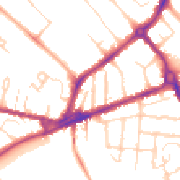
Daytime· 07:00 – 23:00
51.2dB

Night-time· 23:00 – 07:00
42.4dB