49 Springfield Avenue, Horfield, Bristol, BS7 9QS
About 49 Springfield Avenue
49 Springfield Avenue is a three-bedroom mid-terrace house in Horfield, Bristol, Bristol (BS7 9QS). It has a recorded floor area of 88 m² (around 947 sq ft), construction records dating it to 1900-1929 and council tax band B. The latest certificate (May 2022) shows a C (score 71). When first surveyed in August 2015 the rating was D, the property has climbed 1 band since. Between certificates, roof efficiency went from Average to Very Good, window efficiency went from Average to Good and lighting went from Poor to Very Good. The recommended improvements would push it to B (score 87).
Most recent transfer: September 2022 at £560,000. Across the public record there are 4 sales, relatively high churn for a single property. That sale was during the post-pandemic price surge, when transactions cleared materially above pre-2020 trend. Across 2002–2022, sale prices on this property compounded at 7.4% per year. On a £-per-square-foot basis, the last sale (£591/sq ft) was about 159.6% above the typical sold price in the postcode.
Know exactly what you're buying at 49 Springfield Avenue
Before you offer, see what the listing won't tell you, the true value, the red flags and the full history.
Already flagged here
Launch offer · save £5
Valuation
against the asking price
Risks
planning & flood
Sold prices
similar homes nearby
Trends
the local market
What this property has
Inside
- Bedrooms3
- Bathrooms2
Energy performance
EPC Rating
Property Improvements
Changes detected from historical EPC data
Heating controls upgraded for better temperature management
Windows upgraded, improving insulation
Roof insulation improved
More low energy lighting installed
Planning history
49 Springfield Avenue has no planning applications on record.
Notable planning nearby
66applications of note in the surrounding area
We flagged 2 things worth checking at 49 Springfield Avenue
Independent checks surfaced things a buyer would want to understand before offering. The report explains each one in full, with the underlying data and what to ask.
- Signs of HMO activity in the area
- Larger development activity nearby
30-day money-back guarantee
Sales history & valuation
Price for 49 Springfield Avenue has grown more than fourfold since the 2002 starting point.
£589,000
Modelled from EPC, postcode comparables and a sale-price growth of 7.4% per year over 20 years.
£560,000
Growth on file: 7.4% per year over 20 years.
Sales timeline
12 September 2022Most recent
£560,000
+51.4%over 3 years23 November 2018
£370,000
+57.4%over 11 years12 July 2007
£235,000
+70.3%over 4 years19 December 2002
£138,000
Median price across the last 5 sales in BS7 9QS: £425,000 (2024–2023).
Nearby sales in BS7 9QS
33 Springfield Avenue, Horfield, Bristol, BS7 9QS
Sold Oct 2024
£318,32531 Springfield Avenue, Horfield, Bristol, BS7 9QS
Sold Aug 2024
£425,00025 Springfield Avenue, Horfield, Bristol, BS7 9QS
Sold Apr 2024
£375,00021 Springfield Avenue, Horfield, Bristol, BS7 9QS
Sold Jun 2023
£558,00039 Springfield Avenue, Horfield, Bristol, BS7 9QS
Sold Mar 2023
£430,000
Everything we know about 49 Springfield Avenue, in one report
What it's really worth, what could be wrong, and the planning, sales and area data in full.
What we flagged
- Signs of HMO activity in the area
- Larger development activity nearby

Versus other Springfield Avenue homes
49 Springfield Avenue outperforms the street on price per m² by a wide margin.
Price per m²
£6,364
Street avg £3,443
Floor Area
88 m²
Street avg 91 m²
Habitable Rooms
4 rooms
Street avg 5 rooms
CO₂ Emissions
2.8 t/year
Street avg 3.4 t/year
Similar properties nearby
1 Brent Road
BS7 9QZ
1 Brynland Avenue
BS7 9DR
1 Alton Road
BS7 9PS
1 Bromley Road
BS7 9JA
1 Dirac Road, Ashley Down
BS7 9LP
1 Branwhite Close
BS7 9XJ
1 Coulson House, Ralph Road
BS7 9QP
1 Cricklade Road
BS7 9EW
The neighbourhood at a glance
Rail-style transport is unusually close for this postcode.
Crime
6/mo
Rising year-on-year across the wider district.
Nearest stop
0.2 km
Muller Road Lidl — bus stop.
Closest school
0.1 km
Ashley Down Primary School. 45 schools nearby.
Go deeper on the local area
The full report breaks down crime, transport links, schools and air quality in depth.
Road noise across the postcode
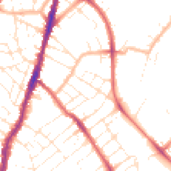
Daytime· 07:00 – 23:00
50.4dB

Night-time· 23:00 – 07:00
40.5dB