19 Braemar Avenue, Bristol, BS7 0TA
About 19 Braemar Avenue
19 Braemar Avenue is a six-bedroom semi-detached house in Bristol (BS7 0TA). It has a recorded floor area of 127 m² (around 1367 sq ft), construction records dating it to 1930-1949 and council tax band D. The latest certificate (February 2023) shows a C (score 69), just inside the C band. When first surveyed in April 2011 the rating was D, the property has climbed 1 band since. Between certificates, window efficiency went from Average to Good. The recommended improvements would push it to B (score 81).
Sold May 2023 for £525,500. Across the public record there are 4 sales, relatively high churn for a single property. 2 planning records sit against the property, 1 approved, 1 refused. Past consents include an extension and a conservatory, meaningful when judging how the property has evolved. At 127 m² it's 16.5% larger than the typical home in the postcode (109 m² median across 6 EPCs). Its energy rating outperforms most of the postcode (better than 83% of similar EPCs). 6 bedrooms is on the larger side for this postcode, where 3 is the typical count. Across 1999–2023, sale prices on this property compounded at 8.2% per year. On a £-per-square-foot basis, the last sale (£384/sq ft) was about 70% above the typical sold price in the postcode.
What this property has
Inside
- Bedrooms6
- Bathrooms2
- EnsuiteYes
Outside
- Private gardenRear
- ParkingOff street
Building
- Heating systemGas
Everything you need to know about 19 Braemar Avenue
The true value, the hidden risks and the full sale history, in one report.
Pick your report · every report is £14.99
One time fee only - money back guarantee

The data behind every report


Energy performance
EPC Rating
Property Improvements
Changes detected from historical EPC data
Window efficiency improved
Get a survey for this property
Level 3 Building Survey
Because the property has been extended more than once, we believe a Level 3 building survey should be considered.
From £1,085 · Includes VAT
Planning history
A HMO conversion application was refused at 19 Braemar Avenue in 2024.
2 applications on record at 19 Braemar Avenue, Bristol, BS7 0TA
- Aug 2007ConservatoryFullOutcome in report
Extension: Side and rear of property
Erection of two storey side and single storey rear extensions and rear conservatory to provide additional living accommodation.
Extension- Documents
- 11 docs on file
- Reference
- PT07/1885/F
- More recent applications — locked
- HMOFeb 2024Decision
Unlock 19 Braemar Avenue, Bristol, BS7 0TA's full planning history
You're seeing the shape of it. The report has the substance.
- Every decision — granted, refused or withdrawn (2 on record)
- All 2 applications on this property in full, plus 162 notable nearby
- The 31 documents, officer reports & conditions
- What the pattern means for extending or converting here
One time fee only - money back guarantee
Sales history & valuation
Latest sale on 19 Braemar Avenue was the highest on Land Registry record across the postcode.
£574,000
Modelled from EPC, postcode comparables and a sale-price growth of 8.2% per year over 24 years.
£525,500
Growth on file: 8.2% per year over 24 years.
Sales timeline
15 May 2023Most recent
£525,500
+114.5%over 11 years9 November 2011
£245,000
+130.0%over 10 years15 October 2001
£106,500
+33.1%over 2 years15 July 1999
£80,000
Median price across the last 5 sales in BS7 0TA: £265,000 (2021–2004).
Nearby sales in BS7 0TA
Versus other Braemar Avenue homes
On price per m², 19 Braemar Avenue stands well clear of the street.
Price per m²
£4,138
Street avg £2,628
Floor Area
127 m²
Street avg 109 m²
Habitable Rooms
7 rooms
Street avg 6 rooms
CO₂ Emissions
4.1 t/year
Street avg 4.9 t/year
Everything you need to know about 19 Braemar Avenue
The true value, the hidden risks and the full sale history, in one report.
Pick your report · every report is £14.99
One time fee only - money back guarantee
The data behind every report
Similar properties nearby
The neighbourhood at a glance
Reported crime in the wider district is trending notably upward year-on-year.
Crime
6/mo
Rising year-on-year across the wider district.
Nearest stop
0.1 km
Braemar Avenue — bus stop.
Closest school
0.4 km
Orchard School Bristol. 29 schools nearby.
Go deeper on the local area
A Local Area report breaks down crime, transport links, schools and air quality in depth.
Road noise across the postcode
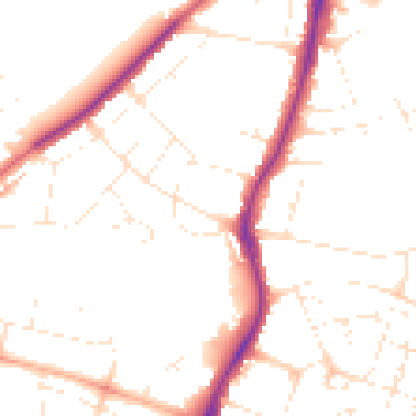
Daytime· 07:00 – 23:00
49.0dB

Night-time· 23:00 – 07:00
39.9dB