15 Douglas Road, Horfield, Bristol, BS7 0JE
About 15 Douglas Road
15 Douglas Road is a three-bedroom mid-terrace house in Horfield, Bristol, Bristol (BS7 0JE). It has a recorded floor area of 95 m² (around 1023 sq ft), construction records dating it to 1900-1929 and council tax band C. Tenure is freehold. The latest certificate (April 2019) shows a D (score 63), on the cusp of jumping into the C band. The rating has held steady at D across 3 certificates since September 2009. Between certificates, roof efficiency went from Average to Good and window efficiency went from Average to Good; while hot-water efficiency dropped from Very Good to Good and main heating dropped from Very Good to Good. The recommended improvements would lift it to B (score 82), a 2-band jump. Period features are noted in the property record.
Sold August 2022 for £480,500. Across the public record there are 5 sales, relatively high churn for a single property. That sale was during the post-pandemic price surge, when transactions cleared materially above pre-2020 trend. Across 1998–2022, sale prices on this property compounded at 9.1% per year. On a £-per-square-foot basis, the last sale (£470/sq ft) was about 264.1% above the typical sold price in the postcode.
What this property has
Inside
- Bedrooms3
- Bathrooms2
- EnsuiteYes
Building
- TenureFreehold
- Period featuresYes
- RefurbishedYes
Everything you need to know about 15 Douglas Road
The true value, the hidden risks and the full sale history, in one report.
Pick your report · every report is £14.99
One time fee only - money back guarantee

The data behind every report


Energy performance
Recommended upgrades on file would lift this property by multiple EPC bands.
EPC Rating
Property Improvements
Changes detected from historical EPC data
Heating controls upgraded for better temperature management
Hot water efficiency decreased
Windows upgraded, improving insulation
Loft insulation upgraded to recommended levels
More low energy lighting installed
Heating controls changed
Get a survey for this property
Level 3 Building Survey
Because the property was built before 1919, we believe a Level 3 building survey should be considered.
From £1,020 · Includes VAT
Planning history
15 Douglas Road has no planning applications on record.
But the area is active
162 notable applications nearby — larger schemes and conversions that could reshape the street. The report maps them all.
Sales history & valuation
Latest sale on 15 Douglas Road was the highest on Land Registry record across the postcode.
£499,000
Modelled from EPC, postcode comparables and a sale-price growth of 9.1% per year over 24 years.
£480,500
Growth on file: 9.1% per year over 24 years.
Sales timeline
18 August 2022Most recent
£480,500
+30.6%over 2 years14 February 2020
£368,000
+24.7%over 4 years17 May 2015
£295,000
+64.8%over 5 years27 November 2009
£179,000
+208.6%over 11 years11 June 1998
£58,000
Median price across the last 5 sales in BS7 0JE: £370,000 (2024–2019).
Nearby sales in BS7 0JE
13 Douglas Road, Horfield, Bristol, BS7 0JE
Sold Sept 2024
£370,00035 Douglas Road, Horfield, Bristol, BS7 0JE
Sold Apr 2023
£450,00029 Douglas Road, Horfield, Bristol, BS7 0JE
Sold Jun 2020
£395,0009 Douglas Road, Horfield, Bristol, BS7 0JE
Sold Jan 2020
£362,5007 Douglas Road, Horfield, Bristol, BS7 0JE
Sold Nov 2019
£335,000
Versus other Douglas Road homes
Price per m² for 15 Douglas Road runs comfortably ahead of the street norm.
Price per m²
£5,058
Street avg £2,910
Floor Area
95 m²
Street avg 102 m²
Habitable Rooms
5 rooms
Street avg 6 rooms
CO₂ Emissions
3.6 t/year
Street avg 4.2 t/year
Everything you need to know about 15 Douglas Road
The true value, the hidden risks and the full sale history, in one report.
Pick your report · every report is £14.99
One time fee only - money back guarantee
The data behind every report
Similar properties nearby
1 Bayswater Road
BS7 0BN
1 Beechcroft Walk
BS7 0NH
1 Cropthorne Road South
BS7 0PS
1 Blakeney Road
BS7 0DL
1 Conrad Court, Shakespeare Avenue
BS7 0PN
1 Buxton Walk
BS7 0LG
1 Dorchester Road
BS7 0LA
1 Bythesea Avenue
BS7 0FN
The neighbourhood at a glance
Reported crime in the wider district is trending notably upward year-on-year.
Crime
6/mo
Rising year-on-year across the wider district.
Nearest stop
0.2 km
Horfield Sports Centre — bus stop.
Closest school
0.5 km
Filton Avenue Primary School. 34 schools nearby.
Go deeper on the local area
A Local Area report breaks down crime, transport links, schools and air quality in depth.
Road noise across the postcode
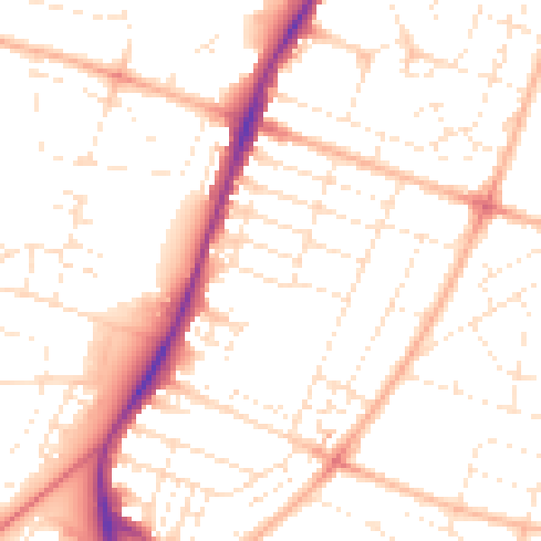
Daytime· 07:00 – 23:00
51.0dB

Night-time· 23:00 – 07:00
40.3dB