631 Gloucester Road, Horfield, Bristol, BS7 0BJ
About 631 Gloucester Road
631 Gloucester Road is a five-bedroom end-of-terrace house in Horfield, Bristol, Bristol (BS7 0BJ). It has a recorded floor area of 133 m² (around 1432 sq ft), construction records dating it to 1900-1929 and council tax band C. The latest certificate (April 2025) shows a D (score 64), on the cusp of jumping into the C band. When first surveyed in May 2020 the rating was E, the property has climbed 1 band since. Between certificates, roof efficiency went from Very Poor to Very Good, window efficiency went from Average to Good and lighting went from Good to Very Good; while hot-water efficiency dropped from Good to Average. The recommended improvements would lift it to B (score 82), a 2-band jump. Main heating runs on electricity.
Today's modelled estimate of £518,000 is 29.5% above the 2021 sale price. On a £-per-square-foot basis, the last sale (£279/sq ft) was about 77.4% above the typical sold price in the postcode. Sold February 2021 for £400,000. That sale was during the post-pandemic price surge, when transactions cleared materially above pre-2020 trend. 5 bedrooms is on the larger side for this postcode, where 3 is the typical count.
What this property has
Inside
- Bedrooms5
- Bathrooms2
Building
- Heating systemAir source
- RefurbishedYes
Everything you need to know about 631 Gloucester Road
The true value, the hidden risks and the full sale history, in one report.
Pick your report · every report is £14.99
One time fee only - money back guarantee

The data behind every report


Energy performance
Recommended upgrades on file would lift this property by multiple EPC bands.
EPC Rating
Property Improvements
Changes detected from historical EPC data
Heating system changed
Changed to a more efficient fuel source
Hot water system changed
Wall insulation improved
Loft insulation installed or upgraded to 250mm+
Low energy lighting percentage decreased
Heat pump installed, significantly improving energy efficiency
Hot water system upgraded
Windows upgraded, improving insulation
More low energy lighting installed
Get a survey for this property
Level 3 Building Survey
Because the property was built before 1919, has been extended more than once, and has no mains gas supply, we believe a Level 3 building survey should be considered.
From £1,085 · Includes VAT
Planning history
631 Gloucester Road has no planning applications on record.
But the area is active
162 notable applications nearby — larger schemes and conversions that could reshape the street. The report maps them all.
Sales history & valuation
The latest sale landed in the post-pandemic price surge — useful context when reading the figure.
£518,000
Modelled from EPC, postcode comparables.
£400,000
Recorded with HM Land Registry.
Sales timeline
26 February 2021Most recent
£400,000
Median price across the last 5 sales in BS7 0BJ: £357,600 (2022–2016).
Nearby sales in BS7 0BJ
Flat, 619 Gloucester Road, Horfield, Bristol, BS7 0BJ
Sold Aug 2022
£204,500621 Gloucester Road, Horfield, Bristol, BS7 0BJ
Sold Jul 2020
£448,000607 Gloucester Road, Horfield, Bristol, BS7 0BJ
Sold Jun 2017
£357,600625 Gloucester Road, Horfield, Bristol, BS7 0BJ
Sold Jun 2017
£410,000605 Gloucester Road, Horfield, Bristol, BS7 0BJ
Sold Jan 2016
£453,500
Versus other Gloucester Road homes
Years Held for 631 Gloucester Road lags the street by a wide margin.
Price per m²
£3,008
Street avg £1,943
Floor Area
133 m²
Street avg 149 m²
Habitable Rooms
6 rooms
Street avg 7 rooms
CO₂ Emissions
3.9 t/year
Street avg 7.0 t/year
Everything you need to know about 631 Gloucester Road
The true value, the hidden risks and the full sale history, in one report.
Pick your report · every report is £14.99
One time fee only - money back guarantee
The data behind every report
Similar properties nearby
1 Dorchester Road
BS7 0LA
1 Bayswater Road
BS7 0BN
1 Beechcroft Walk
BS7 0NH
1 Cropthorne Road South
BS7 0PS
1 Blakeney Road
BS7 0DL
1 Conrad Court, Shakespeare Avenue
BS7 0PN
1 Buxton Walk
BS7 0LG
1 Biddestone Road
BS7 0UR
The neighbourhood at a glance
Reported crime in the wider district is trending notably upward year-on-year.
Crime
6/mo
Rising year-on-year across the wider district.
Nearest stop
0.2 km
Dorian Road — bus stop.
Closest school
0.6 km
Filton Avenue Primary School. 37 schools nearby.
Go deeper on the local area
A Local Area report breaks down crime, transport links, schools and air quality in depth.
Road noise across the postcode
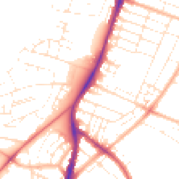
Daytime· 07:00 – 23:00
50.6dB

Night-time· 23:00 – 07:00
40.7dB