2 Beaufort Road, Horfield, Bristol, BS7 0AH
About 2 Beaufort Road
2 Beaufort Road is a four-bedroom end-of-terrace house in Horfield, Bristol, Bristol (BS7 0AH). It has a recorded floor area of 133 m² (around 1432 sq ft), construction records dating it to 1900-1929 and council tax band C. The latest certificate (September 2020) shows a D (score 67), on the cusp of jumping into the C band. The rating has held steady at D across 2 certificates since June 2014. Between certificates, window efficiency went from Poor to Average. The recommended improvements would lift it to B (score 81), a 2-band jump.
Most recent transfer: June 2021 at £575,000. Across the public record there are 4 sales, relatively high churn for a single property. That sale was during the post-pandemic price surge, when transactions cleared materially above pre-2020 trend. At 133 m² it's 19.8% larger than the typical home in the postcode (111 m² median across 12 EPCs). Across 1997–2021, sale prices on this property compounded at 8.1% per year. Today's modelled estimate of £652,000 is 13.4% above the 2021 sale price. On a £-per-square-foot basis, the last sale (£402/sq ft) was about 160.9% above the typical sold price in the postcode. One historical planning record sits against the property in 2016.
What this property has
Inside
- Bedrooms4
- Bathrooms2
- FireplaceYes
Outside
- Private gardenYes
Everything you need to know about 2 Beaufort Road
The true value, the hidden risks and the full sale history, in one report.
Pick your report · every report is £14.99
One time fee only - money back guarantee

The data behind every report


Energy performance
Recommended upgrades on file would lift this property by multiple EPC bands.
EPC Rating
Property Improvements
Changes detected from historical EPC data
Window efficiency improved
Loft insulation installed or upgraded to 250mm+
Get a survey for this property
Level 3 Building Survey
Because the property was built before 1919 and has solid (non-cavity) walls, we believe a Level 3 building survey should be considered.
From £1,155 · Includes VAT
Planning history
1 application on record at 2 Beaufort Road, Horfield, Bristol, BS7 0AH
- Mar 2016Loft ConversionOutlineOutcome in report
Application for a Lawful Development Certificate for a Proposed use or development. Loft conversion.
- Council
- Horfield And Lockleaze
- Documents
- 20 docs on file
- Reference
- 16/00549/CP
Unlock 2 Beaufort Road, Horfield, Bristol, BS7 0AH's full planning history
You're seeing the shape of it. The report has the substance.
- Every decision — granted, refused or withdrawn (1 on record)
- All 1 application on this property in full, plus 162 notable nearby
- The 20 documents, officer reports & conditions
- What the pattern means for extending or converting here
One time fee only - money back guarantee
Sales history & valuation
Price for 2 Beaufort Road has grown more than fourfold since the 1997 starting point.
£652,000
Modelled from EPC, postcode comparables and a sale-price growth of 8.1% per year over 24 years.
£575,000
Growth on file: 8.1% per year over 24 years.
Sales timeline
29 June 2021Most recent
£575,000
+38.1%over 6 years9 September 2014
£416,300
+41.1%over 7 years17 September 2006
£295,000
+235.4%over 9 years1 May 1997
£87,950
Median price across the last 5 sales in BS7 0AH: £538,000 (2025–2021).
Nearby sales in BS7 0AH
13 Beaufort Road, Horfield, Bristol, BS7 0AH
Sold Mar 2025
£636,00017 Beaufort Road, Horfield, Bristol, BS7 0AH
Sold Sept 2023
£480,00011 Beaufort Road, Horfield, Bristol, BS7 0AH
Sold Nov 2022
£581,0002a, Beaufort Road, Horfield, Bristol, BS7 0AH
Sold Oct 2022
£210,0001a, Beaufort Road, Horfield, Bristol, BS7 0AH
Sold Jun 2021
£538,000
Versus other Beaufort Road homes
2 Beaufort Road outperforms the street on epc rating by a wide margin.
Price per m²
£4,323
Street avg £3,427
Floor Area
133 m²
Street avg 119 m²
Habitable Rooms
5 rooms
Street avg 6 rooms
CO₂ Emissions
4.6 t/year
Street avg 5.1 t/year
Everything you need to know about 2 Beaufort Road
The true value, the hidden risks and the full sale history, in one report.
Pick your report · every report is £14.99
One time fee only - money back guarantee
The data behind every report
Similar properties nearby
1 Dorchester Road
BS7 0LA
1 Bayswater Road
BS7 0BN
1 Beechcroft Walk
BS7 0NH
1 Cropthorne Road South
BS7 0PS
1 Blakeney Road
BS7 0DL
1 Conrad Court, Shakespeare Avenue
BS7 0PN
1 Buxton Walk
BS7 0LG
1 Bythesea Avenue
BS7 0FN
The neighbourhood at a glance
Reported crime in the wider district is trending notably upward year-on-year.
Crime
6/mo
Rising year-on-year across the wider district.
Nearest stop
0.1 km
Muller Road Top — bus stop.
Closest school
0.5 km
Ashley Down Primary School. 38 schools nearby.
Go deeper on the local area
A Local Area report breaks down crime, transport links, schools and air quality in depth.
Road noise across the postcode
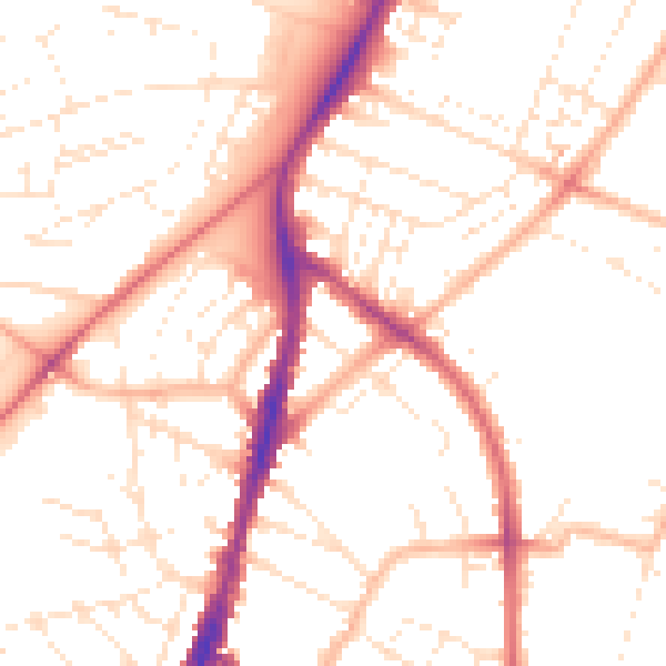
Daytime· 07:00 – 23:00
50.9dB

Night-time· 23:00 – 07:00
40.6dB