13 Beaufort Road, Horfield, Bristol, BS7 0AH
About 13 Beaufort Road
13 Beaufort Road is a four-bedroom mid-terrace house in Horfield, Bristol, Bristol (BS7 0AH). It has a recorded floor area of 144 m² (around 1550 sq ft), construction records dating it to before 1900 and council tax band C. The latest certificate (March 2017) shows a D (score 55), a step below the typical UK home. The recommended improvements would push it to C (score 76). Other recorded features include a balcony and a loft.
It changed hands recently, sold March 2025 for £636,000. At 144 m² it's 29.7% larger than the typical home in the postcode (111 m² median across 12 EPCs). Across 1996–2025, sale prices on this property compounded at 8.4% per year. On a £-per-square-foot basis, the last sale (£410/sq ft) was about 149.1% above the typical sold price in the postcode.
What this property has
Inside
- Bedrooms4
- Bathrooms2
- Dining roomYes
- CloakroomYes
- EnsuiteYes
- LoftYes
Outside
- Private gardenRear
- BalconyYes
Everything you need to know about 13 Beaufort Road
The true value, the hidden risks and the full sale history, in one report.
Pick your report · every report is £14.99
One time fee only - money back guarantee

The data behind every report


Energy performance
13 Beaufort Road's carbon output runs well above what efficient homes in the postcode produce.
EPC Rating
Get a survey for this property
Level 3 Building Survey
Because the property was built before 1919, has been extended more than once, and has solid (non-cavity) walls, we believe a Level 3 building survey should be considered.
From £1,155 · Includes VAT
Planning history
13 Beaufort Road has no planning applications on record.
But the area is active
162 notable applications nearby — larger schemes and conversions that could reshape the street. The report maps them all.
Sales history & valuation
Latest sale on 13 Beaufort Road was the highest on Land Registry record across the postcode.
£650,000
Modelled from EPC, postcode comparables and a sale-price growth of 8.4% per year over 28 years.
£636,000
Growth on file: 8.4% per year over 28 years.
Sales timeline
27 March 2025Most recent
£636,000
+24.7%over 7 years11 September 2017
£510,000
+127.2%over 11 years16 January 2006
£224,500
+22.0%over 2 years11 December 2003
£184,000
+183.1%over 7 years15 November 1996
£65,000
Median price across the last 5 sales in BS7 0AH: £538,000 (2023–2021).
Nearby sales in BS7 0AH
17 Beaufort Road, Horfield, Bristol, BS7 0AH
Sold Sept 2023
£480,00011 Beaufort Road, Horfield, Bristol, BS7 0AH
Sold Nov 2022
£581,0002a, Beaufort Road, Horfield, Bristol, BS7 0AH
Sold Oct 2022
£210,0002 Beaufort Road, Horfield, Bristol, BS7 0AH
Sold Jun 2021
£575,0001a, Beaufort Road, Horfield, Bristol, BS7 0AH
Sold Jun 2021
£538,000
Versus other Beaufort Road homes
Years Held for 13 Beaufort Road lags the street by a wide margin.
Price per m²
£4,417
Street avg £3,418
Floor Area
144 m²
Street avg 118 m²
Habitable Rooms
7 rooms
Street avg 6 rooms
CO₂ Emissions
7.1 t/year
Street avg 4.9 t/year
Everything you need to know about 13 Beaufort Road
The true value, the hidden risks and the full sale history, in one report.
Pick your report · every report is £14.99
One time fee only - money back guarantee
The data behind every report
Similar properties nearby
1 Dorchester Road
BS7 0LA
1 Bayswater Road
BS7 0BN
1 Beechcroft Walk
BS7 0NH
1 Cropthorne Road South
BS7 0PS
1 Blakeney Road
BS7 0DL
1 Conrad Court, Shakespeare Avenue
BS7 0PN
1 Buxton Walk
BS7 0LG
1 Bythesea Avenue
BS7 0FN
The neighbourhood at a glance
Reported crime in the wider district is trending notably upward year-on-year.
Crime
6/mo
Rising year-on-year across the wider district.
Nearest stop
0.1 km
Muller Road Top — bus stop.
Closest school
0.5 km
Ashley Down Primary School. 38 schools nearby.
Go deeper on the local area
A Local Area report breaks down crime, transport links, schools and air quality in depth.
Road noise across the postcode
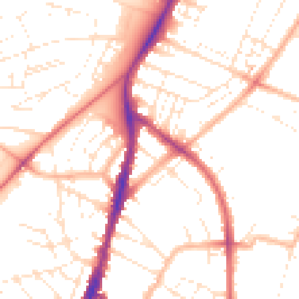
Daytime· 07:00 – 23:00
50.9dB

Night-time· 23:00 – 07:00
40.6dB