19 Burghley Road, Bristol, BS6 5BL
About 19 Burghley Road
19 Burghley Road is a four-bedroom semi-detached house in Bristol (BS6 5BL). It has a recorded floor area of 165 m² (around 1776 sq ft), construction records dating it to before 1900 and council tax band E. The latest certificate (July 2021) shows a D (score 58), a step below the typical UK home. The recommended improvements would push it to C (score 80). Period features are noted in the property record. The home occupies a cul-de-sac position.
At 165 m² the property is well over the postcode median (80 m² across 22 EPCs), placing it in the larger end of the local stock. 4 bedrooms is on the smaller side for this postcode, where 6 is the typical count. Across 1996–2021, sale prices on this property compounded at 8.2% per year. On a £-per-square-foot basis, the last sale (£535/sq ft) was about 100.8% above the typical sold price in the postcode. Last sale on file: £950,000 in December 2021. That sale was during the post-pandemic price surge, when transactions cleared materially above pre-2020 trend. One historical planning record sits against the property in 2022.
What this property has
Inside
- Bedrooms4
- Bathrooms2
- Dining roomYes
- EnsuiteYes
Outside
- Private gardenRear
- ParkingYes
- Cul-de-sacYes
Building
- Period featuresYes
Everything you need to know about 19 Burghley Road
The true value, the hidden risks and the full sale history, in one report.
30-day money-back guarantee

The data behind every report


Energy performance
19 Burghley Road's carbon output runs well above what efficient homes in the postcode produce.
EPC Rating
Planning history
- Apr 2022Loft ConversionOutlineIn report
Application for a Lawful Development Certificate for a proposed conversion of loft with addition of 2 dormer windows and roof lights.
- Documents
- 6 docs on file
- Reference
- 21/06725/CP
We flagged 1 thing worth checking at 19 Burghley Road
Independent checks surfaced things a buyer would want to understand before offering. The report explains each one in full, with the underlying data and what to ask.
- Signs of HMO activity in the area
30-day money-back guarantee
Sales history & valuation
19 Burghley Road has more than quadrupled in price since its earliest registered sale in 1996.
£982,000
Modelled from EPC, postcode comparables and a sale-price growth of 8.2% per year over 25 years.
£950,000
Growth on file: 8.2% per year over 25 years.
Sales timeline
17 December 2021Most recent
£950,000
+245.5%over 20 years2 August 2001
£275,000
+47.8%over 2 years9 December 1998
£186,000
+43.1%over 2 years6 August 1996
£130,000
Median price across the last 5 sales in BS6 5BL: £430,000 (2025–2021).
Nearby sales in BS6 5BL
Versus other Burghley Road homes
On price per m², 19 Burghley Road stands well clear of the street.
Price per m²
£5,758
Street avg £3,852
Floor Area
165 m²
Street avg 204 m²
Habitable Rooms
7 rooms
Street avg 9 rooms
CO₂ Emissions
7.2 t/year
Street avg 9.0 t/year
Everything you need to know about 19 Burghley Road
The true value, the hidden risks and the full sale history, in one report.
30-day money-back guarantee
The data behind every report
Similar properties nearby
1 Cumberland Grove
BS6 5LD
1 Burghley Road
BS6 5BL
1 Clevedon Terrace
BS6 5TX
1 Chesterfield Road, St Andrews
BS6 5DN
1 Arley Park
BS6 5PL
1 Cheltenham Crescent, Cheltenham Road
BS6 5RG
1 Briavels Grove
BS6 5JJ
1 Ashley Hill
BS6 5HZ
The neighbourhood at a glance
Rail-style transport is unusually close for this postcode.
Crime
8/mo
Rising year-on-year across the wider district.
Nearest stop
0.2 km
Balmoral Road — bus stop.
Closest school
0.4 km
E-Act Montpelier High School. 46 schools nearby.
Go deeper on the local area
The full report breaks down crime, transport links, schools and air quality in depth.
Road noise across the postcode
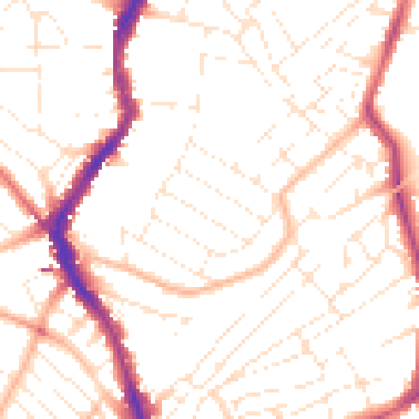
Daytime· 07:00 – 23:00
51.5dB

Night-time· 23:00 – 07:00
40.5dB