13 Beaconsfield Street, Bristol, BS5 9UA
About 13 Beaconsfield Street
13 Beaconsfield Street is a mid-terrace house in Bristol (BS5 9UA). It has a recorded floor area of 58 m² (around 624 sq ft). The latest certificate (June 2017) returns a high B (score 90), putting the home a stone's throw from an A rating. The recommended improvements would push it to A (score 92).
At 58 m² it's 28.8% smaller than the typical home in the postcode (82 m² median across 10 EPCs). Its energy rating outperforms most of the postcode (better than 70% of similar EPCs).
Everything you need to know about 13 Beaconsfield Street
The true value, the hidden risks and the full sale history, in one report.
30-day money-back guarantee

The data behind every report


Energy performance
13 Beaconsfield Street's carbon output is low for the local stock.
EPC Rating
Planning history
13 Beaconsfield Street has no planning applications on record.
Notable planning nearby
23applications of note in the surrounding area
We flagged 1 thing worth checking at 13 Beaconsfield Street
Independent checks surfaced things a buyer would want to understand before offering. The report explains each one in full, with the underlying data and what to ask.
- Signs of HMO activity in the area
30-day money-back guarantee
Sales history & valuation
13 Beaconsfield Street has no Land Registry sales on file, suggesting it has stayed in the same hands since registration began.
£258,000
Modelled from EPC, postcode comparables.
No sales recorded with HM Land Registry
That can mean the property has never traded since the registry began publishing in 1995, was a new build that hasn't been registered yet, or is held in the same hands long-term.
Median price across the last 5 sales in BS5 9UA: £200,000 (2023–2019).
Nearby sales in BS5 9UA
10 Beaconsfield Street, Bristol, BS5 9UA
Sold Nov 2023
£350,0006 Beaconsfield Street, Bristol, BS5 9UA
Sold Dec 2022
£339,00011 Beaconsfield Street, Bristol, BS5 9UA
Sold Mar 2022
£200,00012 Beaconsfield Street, Bristol, BS5 9UA
Sold Dec 2021
£198,0001 Beaconsfield Street, Bristol, BS5 9UA
Sold May 2019
£185,000
Versus other Beaconsfield Street homes
EPC Rating for 13 Beaconsfield Street runs comfortably ahead of the street norm.
EPC Rating
90 (B)
Street avg 66 (D)
Floor Area
58 m²
Street avg 94 m²
CO₂ Emissions
0.4 t/year
Street avg 3.8 t/year
Everything you need to know about 13 Beaconsfield Street
The true value, the hidden risks and the full sale history, in one report.
30-day money-back guarantee
The data behind every report
Similar properties nearby
The neighbourhood at a glance
Rail-style transport is unusually close for this postcode.
Crime
11/mo
Steady year-on-year across the wider district.
Nearest stop
0.2 km
Feeder Road Footbridge — bus stop.
Closest school
0.2 km
E-Act Barton Hill Academy. 46 schools nearby.
Go deeper on the local area
The full report breaks down crime, transport links, schools and air quality in depth.
Road noise across the postcode
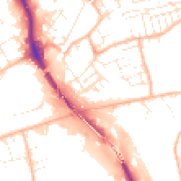
Daytime· 07:00 – 23:00
53.3dB
Night-time· 23:00 – 07:00
43.0dB