11 St Annes Road, St George, Bristol, BS5 8RB
About 11 St Annes Road
11 St Annes Road is a property in St. George, Bristol, Bristol (BS5 8RB). It has council tax band B.
It hasn't traded since February 1999, a hold of 27 years that's notably long for the area. Only one transfer is on record with HM Land Registry, suggesting it has stayed in the same hands for a long time.
Everything you need to know about 11 St Annes Road
The true value, the hidden risks and the full sale history, in one report.
30-day money-back guarantee

The data behind every report


Energy performance
No EPC on record
This property doesn't have an Energy Performance Certificate yet. An EPC is required to sell or let — and unlocks our automated valuation.
Planning history
11 St Annes Road has no planning applications on record.
Notable planning nearby
10applications of note in the surrounding area
We flagged 2 things worth checking at 11 St Annes Road
Independent checks surfaced things a buyer would want to understand before offering. The report explains each one in full, with the underlying data and what to ask.
- Signs of HMO activity in the area
- Larger development activity nearby
30-day money-back guarantee
Sales history & valuation
11 St Annes Road has been held in the same hands since before 2000.
£49,000
Recorded with HM Land Registry.
Sales timeline
5 February 1999Most recent
£49,000
Median price across the last 5 sales in BS5 8RB: £260,000 (2025–2024).
Nearby sales in BS5 8RB
47 St Annes Road, St George, Bristol, BS5 8RB
Sold Sept 2025
£355,0009 St Annes Road, St George, Bristol, BS5 8RB
Sold Mar 2025
£260,00021 St Annes Road, St George, Bristol, BS5 8RB
Sold Mar 2025
£204,00025 St Annes Road, St George, Bristol, BS5 8RB
Sold Jan 2025
£185,00041 St Annes Road, St George, Bristol, BS5 8RB
Sold Nov 2024
£300,000
Everything you need to know about 11 St Annes Road
The true value, the hidden risks and the full sale history, in one report.
30-day money-back guarantee
The data behind every report
Similar properties nearby
1 Air Balloon Court, Air Balloon Road
BS5 8LR
1 Air Balloon Road
BS5 8LB
1 Almeda Road
BS5 8RY
1 Anchor Close, St George
BS5 8DF
1 Avalon Lane
BS5 8LT
1 Avon Close, St George
BS5 8DE
1 Battens Lane
BS5 8TG
1 Beaufort Close
BS5 8DJ
The neighbourhood at a glance
Daytime road noise here sits well below conversation level — a quiet pocket of the postcode.
Crime
11/mo
Steady year-on-year across the wider district.
Nearest stop
0.1 km
Bryants Hill — bus stop.
Closest school
0.7 km
John Cabot Academy. 39 schools nearby.
Go deeper on the local area
The full report breaks down crime, transport links, schools and air quality in depth.
Road noise across the postcode
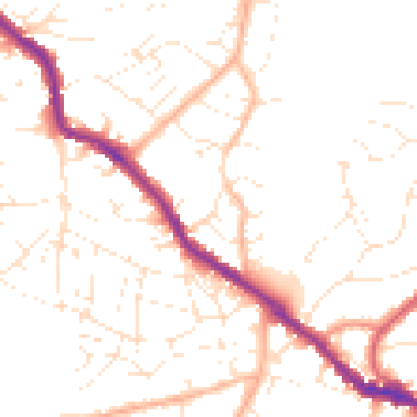
Daytime· 07:00 – 23:00
49.5dB

Night-time· 23:00 – 07:00
39.7dB