34 Caraway Gardens, Bristol, BS5 6YG
About 34 Caraway Gardens
34 Caraway Gardens is a mid-terrace house in Bristol (BS5 6YG). It has a recorded floor area of 49 m² (around 527 sq ft), construction records dating it to 1967-1975 and council tax band A. At 49 m² this is the 7th smallest of 30 units on EPC record in the building, where floor areas span 47–107 m². The building's EPC ratings span E to B across 30 units on file. The latest certificate (November 2021) shows a C (score 70). Main heating runs on electricity.
At 49 m² it sits well below the postcode median (76 m² across 29 EPCs), making it one of the more compact homes locally. On a £-per-square-foot basis, the last sale (£332/sq ft) was about 66.7% above the typical sold price in the postcode. Sold May 2022 for £175,000. That sale was during the post-pandemic price surge, when transactions cleared materially above pre-2020 trend.
Everything you need to know about 34 Caraway Gardens
The true value, the hidden risks and the full sale history, in one report.
30-day money-back guarantee

The data behind every report


Energy performance
EPC Rating
Planning history
34 Caraway Gardens has no planning applications on record.
Notable planning nearby
30applications of note in the surrounding area
We flagged 1 thing worth checking at 34 Caraway Gardens
Independent checks surfaced things a buyer would want to understand before offering. The report explains each one in full, with the underlying data and what to ask.
- Signs of HMO activity in the area
30-day money-back guarantee
Sales history & valuation
The latest sale landed in the post-pandemic price surge — useful context when reading the figure.
£168,000
Modelled from EPC, postcode comparables.
£175,000
Recorded with HM Land Registry.
Sales timeline
17 May 2022Most recent
£175,000
Median price across the last 5 sales in BS5 6YG: £283,000 (2024–2019).
Nearby sales in BS5 6YG
Versus other Caraway Gardens homes
EPC Rating
70 (C)
Street avg 71 (C)
Floor Area
49 m²
Street avg 49 m²
CO₂ Emissions
2.4 t/year
Street avg 1.9 t/year
Habitable Rooms
2 rooms
Street avg 2 rooms
Everything you need to know about 34 Caraway Gardens
The true value, the hidden risks and the full sale history, in one report.
30-day money-back guarantee
The data behind every report
Similar properties nearby
The neighbourhood at a glance
Rail-style transport is unusually close for this postcode.
Crime
11/mo
Steady year-on-year across the wider district.
Nearest stop
0.2 km
Glen Park — bus stop.
Closest school
0.1 km
May Park Primary School. 43 schools nearby.
Go deeper on the local area
The full report breaks down crime, transport links, schools and air quality in depth.
Road noise across the postcode
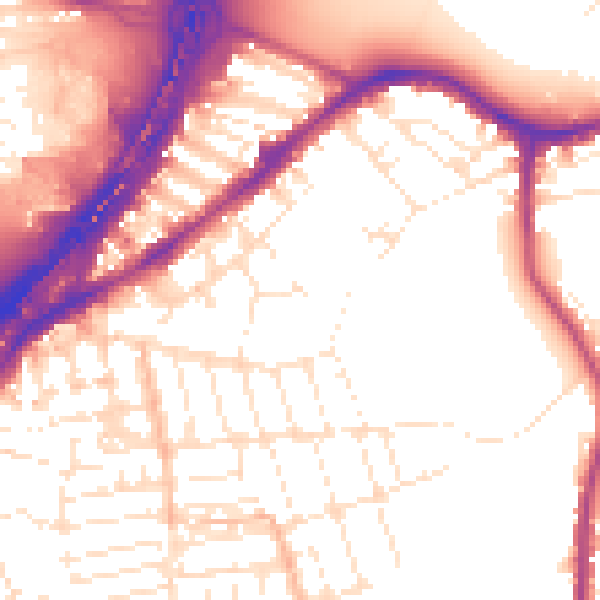
Daytime· 07:00 – 23:00
55.2dB

Night-time· 23:00 – 07:00
46.5dB