14 Boswell Street, Bristol, BS5 6SG
About 14 Boswell Street
14 Boswell Street is a two-bedroom end-of-terrace house in Bristol (BS5 6SG). It has a recorded floor area of 90 m² (around 969 sq ft), construction records dating it to 1900-1929 and council tax band A. The latest certificate (October 2020) shows an E (score 46), well below the UK norm with real room to improve. The recommended improvements would lift it to C (score 79), a 2-band jump. Period features are noted in the property record.
On energy efficiency it sits in the bottom 10% of properties in this postcode — significant headroom for improvement. Most recent transfer: November 2020 at £245,000. Across the public record there are 6 sales, relatively high churn for a single property. Across 1999–2020, sale prices on this property compounded at 8.1% per year. Today's modelled estimate of £323,000 is 31.8% above the 2020 sale price. On a £-per-square-foot basis, the last sale (£253/sq ft) was about 134.6% above the typical sold price in the postcode.
What this property has
Inside
- Bedrooms2
- Bathrooms1
- Dining roomYes
Outside
- Private gardenYes
Building
- Period featuresYes
Everything you need to know about 14 Boswell Street
The true value, the hidden risks and the full sale history, in one report.
30-day money-back guarantee

The data behind every report


Energy performance
14 Boswell Street sits at the bottom of the postcode for energy efficiency — meaningful headroom to improve.
EPC Rating
Planning history
14 Boswell Street has no planning applications on record.
Notable planning nearby
30applications of note in the surrounding area
We flagged 1 thing worth checking at 14 Boswell Street
Independent checks surfaced things a buyer would want to understand before offering. The report explains each one in full, with the underlying data and what to ask.
- Signs of HMO activity in the area
30-day money-back guarantee
Sales history & valuation
14 Boswell Street has more than quadrupled in price since its earliest registered sale in 1999.
£323,000
Modelled from EPC, postcode comparables and a sale-price growth of 8.1% per year over 22 years.
£245,000
Growth on file: 8.1% per year over 22 years.
Sales timeline
30 November 2020Most recent
£245,000
+16.7%over 5 years21 September 2015
£209,995
+68.0%over 6 years20 November 2008
£125,000
-2.0%over 2 years10 August 2006
£127,500
+67.8%over 4 years31 October 2001
£76,000
+67.0%over 2 years12 March 1999
£45,500
Median price across the last 5 sales in BS5 6SG: £280,000 (2025–2021).
Nearby sales in BS5 6SG
Versus other Boswell Street homes
EPC Rating for 14 Boswell Street lags the street by a wide margin.
Price per m²
£2,722
Street avg £2,150
Floor Area
90 m²
Street avg 81 m²
Habitable Rooms
4 rooms
Street avg 4 rooms
CO₂ Emissions
5.7 t/year
Street avg 3.2 t/year
Everything you need to know about 14 Boswell Street
The true value, the hidden risks and the full sale history, in one report.
30-day money-back guarantee
The data behind every report
Similar properties nearby
1 Apsley Street
BS5 6SP
1 Belle Vue Road, Easton
BS5 6DR
1 Bridge Road, Eastville
BS5 6XG
1 Chapel Road, Easton
BS5 6DX
1 Carlyle Road
BS5 6HG
1 Bridge View Close
BS5 6BS
1 Caraway Gardens
BS5 6YG
1 Boswell Street
BS5 6SG
The neighbourhood at a glance
Rail-style transport is unusually close for this postcode.
Crime
11/mo
Steady year-on-year across the wider district.
Nearest stop
0.1 km
Boswell Street — bus stop.
Closest school
0.3 km
May Park Primary School. 43 schools nearby.
Go deeper on the local area
The full report breaks down crime, transport links, schools and air quality in depth.
Road noise across the postcode
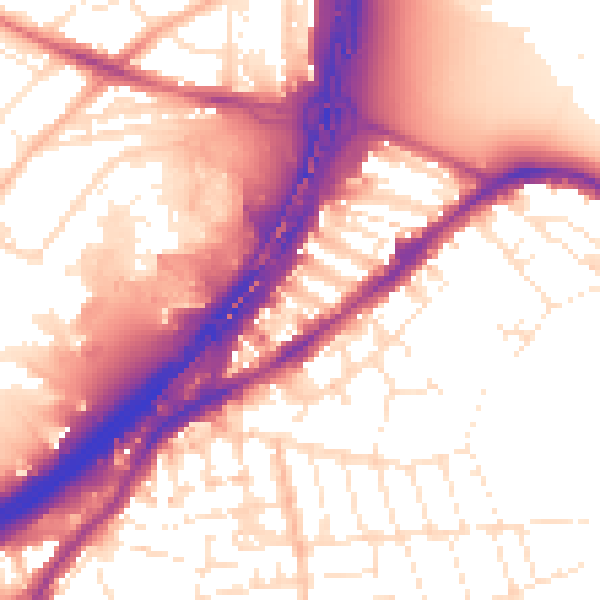
Daytime· 07:00 – 23:00
57.5dB

Night-time· 23:00 – 07:00
49.1dB