27 Clyde Grove, Filton, Bristol, BS34 7RL
About 27 Clyde Grove
27 Clyde Grove is a three-bedroom semi-detached house in Filton, Bristol, Bristol (BS34 7RL). It has a recorded floor area of 103 m² (around 1109 sq ft), construction records dating it to 1930-1949 and council tax band D. The latest certificate (November 2015) shows a D (score 61), on the cusp of jumping into the C band. The recommended improvements would lift it to B (score 86), a 2-band jump. The latest certificate is from November 2015, so improvements made since then won't be reflected. Other recorded features include attached land beyond the plot. Period features are noted in the property record.
Across 1999–2024, sale prices on this property compounded at 6.8% per year. On a £-per-square-foot basis, the last sale (£471/sq ft) was about 87.5% above the typical sold price in the postcode. Sold March 2024 for £522,500.
What this property has
Inside
- Bedrooms3
- Bathrooms1
- Dining roomYes
Outside
- ParkingYes
- LandYes
Building
- Period featuresYes
- RefurbishedYes
Everything you need to know about 27 Clyde Grove
The true value, the hidden risks and the full sale history, in one report.
Pick your report · every report is £14.99
One time fee only - money back guarantee

The data behind every report


Energy performance
Recommended upgrades on file would lift this property by multiple EPC bands.
EPC Expired
This certificate is over 10 years old and is no longer valid.Expired 12 Nov 2025
EPC Rating
Get a survey for this property
Level 3 Building Survey
Because the property has solid (non-cavity) walls, we believe a Level 3 building survey should be considered.
From £1,085 · Includes VAT
Planning history
27 Clyde Grove has no planning applications on record.
But the area is active
130 notable applications nearby — larger schemes and conversions that could reshape the street. The report maps them all.
Sales history & valuation
Latest sale on 27 Clyde Grove was the highest on Land Registry record across the postcode.
£555,000
Modelled from EPC, postcode comparables and a sale-price growth of 6.8% per year over 25 years.
£522,500
Growth on file: 6.8% per year over 25 years.
Sales timeline
20 March 2024Most recent
£522,500
+402.4%over 24 years15 July 1999
£104,000
Median price across the last 5 sales in BS34 7RL: £436,050 (2025–2022).
Nearby sales in BS34 7RL
17 Clyde Grove, Filton, Bristol, BS34 7RL
Sold Jun 2025
£445,00029 Clyde Grove, Filton, Bristol, BS34 7RL
Sold Mar 2024
£417,50023 Clyde Grove, Filton, Bristol, BS34 7RL
Sold Sept 2023
£436,05014 Clyde Grove, Filton, Bristol, BS34 7RL
Sold Feb 2022
£350,00022 Clyde Grove, Filton, Bristol, BS34 7RL
Sold Jan 2022
£450,000
Versus other Clyde Grove homes
27 Clyde Grove outperforms the street on price per m² by a wide margin.
Price per m²
£5,073
Street avg £3,531
Floor Area
103 m²
Street avg 107 m²
Habitable Rooms
5 rooms
Street avg 6 rooms
CO₂ Emissions
4.6 t/year
Street avg 5.4 t/year
Everything you need to know about 27 Clyde Grove
The true value, the hidden risks and the full sale history, in one report.
Pick your report · every report is £14.99
One time fee only - money back guarantee
The data behind every report
Similar properties nearby
1 Charlton Avenue
BS34 7QX
1 Glebelands Road, Filton
BS34 7AD
1 Concorde House, Bevan Court, Filton
BS34 7QN
1 Blenheim Drive, Filton
BS34 7AX
1 Clyde Grove, Filton
BS34 7RL
1 Canberra Grove, Filton
BS34 7DH
1 Elm Park, Filton
BS34 7PR
1 Dunkeld Avenue, Filton
BS34 7RH
The neighbourhood at a glance
Daytime road noise here sits well below conversation level — a quiet pocket of the postcode.
Crime
6/mo
Steady year-on-year across the wider district.
Nearest stop
0.2 km
Charborough Road — bus stop.
Closest school
0.2 km
Charborough Road Primary School. 28 schools nearby.
Go deeper on the local area
A Local Area report breaks down crime, transport links, schools and air quality in depth.
Road noise across the postcode
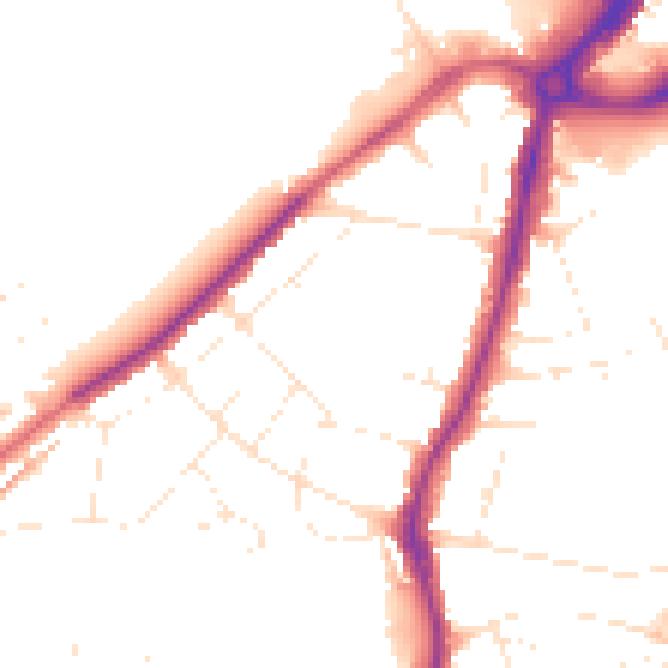
Daytime· 07:00 – 23:00
49.0dB

Night-time· 23:00 – 07:00
40.8dB