8 Stanley Crescent, Filton, Bristol, BS34 7NH
About 8 Stanley Crescent
8 Stanley Crescent is an end-of-terrace house in Filton, Bristol, Bristol (BS34 7NH). It has a recorded floor area of 61 m² (around 657 sq ft), construction records dating it to 1930-1949 and council tax band B. The latest certificate (August 2023) shows a C (score 70). When first surveyed in May 2014 the rating was F, the property has climbed 3 bands since. Between certificates, wall efficiency went from Very Poor to Good, roof efficiency went from Good to Very Good and hot-water efficiency went from Average to Good; while window efficiency dropped from Average to Very Poor. The recommended improvements would push it to B (score 88).
2 planning records sit against the property, 2 approved, 0 refused. Past consents include an extension and partial demolition, meaningful when judging how the property has evolved. Today's modelled estimate of £272,000 is 42.4% above the 2015 sale price. On a £-per-square-foot basis, the last sale (£291/sq ft) was about 64.6% above the typical sold price in the postcode. Last changed hands 11 years ago, in January 2015. At 61 m² it's 27.2% smaller than the typical home in the postcode (84 m² median across 10 EPCs).
Everything you need to know about 8 Stanley Crescent
The true value, the hidden risks and the full sale history, in one report.
Pick your report · every report is £14.99
One time fee only - money back guarantee

The data behind every report


Energy performance
EPC Rating
Property Improvements
Changes detected from historical EPC data
Loft insulation upgraded to recommended levels
More low energy lighting installed
Floor insulation added or improved
Replaced storage heaters with gas boiler
Connected to mains gas supply
Heating controls upgraded for better temperature management
Hot water system upgraded
Glazing upgraded to newer, more efficient type
Wall insulation improved
Loft insulation upgraded to recommended levels
Get a survey for this property
Level 3 Building Survey
Because the property has solid (non-cavity) walls, we believe a Level 3 building survey should be considered.
From £885 · Includes VAT
Planning history
Planning history includes recorded demolition works, indicating a major rebuild phase at this address.
2 applications on record at 8 Stanley Crescent, Filton, Bristol, BS34 7NH
- Oct 2015ExtensionFullOutcome in report
Extension: Part single, part two storey · Rear of property
Erection of two storey and single storey rear extension to provide additional living accommodation
- Documents
- 12 docs on file
- Reference
- PT15/4034/F
- More recent applications — locked
- DemolitionApr 2016Decision
Unlock 8 Stanley Crescent, Filton, Bristol, BS34 7NH's full planning history
You're seeing the shape of it. The report has the substance.
- Every decision — granted, refused or withdrawn (2 on record)
- All 2 applications on this property in full, plus 130 notable nearby
- The 33 documents, officer reports & conditions
- What the pattern means for extending or converting here
One time fee only - money back guarantee
Sales history & valuation
8 Stanley Crescent valuation sits well clear of the typical sold price in this postcode.
£272,000
Modelled from EPC, postcode comparables.
£191,000
Recorded with HM Land Registry.
Sales timeline
6 January 2015Most recent
£191,000
Median price across the last 5 sales in BS34 7NH: £225,000 (2019–2016).
Nearby sales in BS34 7NH
3 Stanley Crescent, Filton, Bristol, BS34 7NH
Sold Jan 2019
£290,0006 Stanley Crescent, Filton, Bristol, BS34 7NH
Sold Mar 2018
£210,0002 Stanley Crescent, Filton, Bristol, BS34 7NH
Sold Nov 2016
£225,0007 Stanley Crescent, Filton, Bristol, BS34 7NH
Sold Mar 2016
£295,0004 Stanley Crescent, Filton, Bristol, BS34 7NH
Sold Mar 2015
£219,950
Versus other Stanley Crescent homes
8 Stanley Crescent is notably below the street on floor area.
Price per m²
£3,131
Street avg £2,240
Floor Area
61 m²
Street avg 100 m²
Habitable Rooms
3 rooms
Street avg 5 rooms
CO₂ Emissions
2.2 t/year
Street avg 3.6 t/year
Everything you need to know about 8 Stanley Crescent
The true value, the hidden risks and the full sale history, in one report.
Pick your report · every report is £14.99
One time fee only - money back guarantee
The data behind every report
Similar properties nearby
1 Mackie Road, Filton
BS34 7LY
1 Meadowsweet Avenue, Filton
BS34 7AN
1 Canberra Grove, Filton
BS34 7DH
1 Brookfield, Filton
BS34 7DY
1 Blenheim Drive, Filton
BS34 7AX
1 Bude Road, Filton
BS34 7HN
1 Concorde House, Bevan Court, Filton
BS34 7QN
1 Branksome Drive, Filton
BS34 7EG
The neighbourhood at a glance
Rail-style transport is unusually close for this postcode.
Crime
6/mo
Steady year-on-year across the wider district.
Nearest stop
0.1 km
Wallscourt Road — bus stop.
Closest school
0.3 km
Shield Road Primary School. 21 schools nearby.
Go deeper on the local area
A Local Area report breaks down crime, transport links, schools and air quality in depth.
Road noise across the postcode
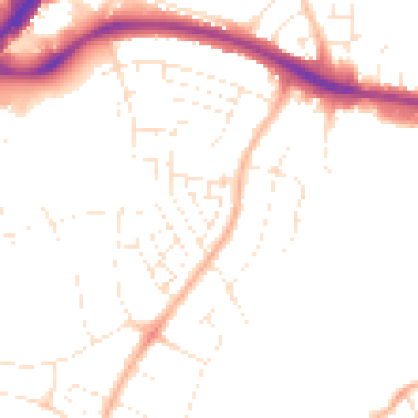
Daytime· 07:00 – 23:00
48.8dB

Night-time· 23:00 – 07:00
39.4dB