4 Stanley Crescent, Filton, Bristol, BS34 7NH
About 4 Stanley Crescent
4 Stanley Crescent is a three-bedroom end-of-terrace house in Filton, Bristol, Bristol (BS34 7NH). It has a recorded floor area of 97 m² (around 1044 sq ft), construction records dating it to 1930-1949 and council tax band B. The latest certificate (December 2014) shows a D (score 55), a step below the typical UK home. The recommended improvements would lift it to B (score 83), a 2-band jump. The latest certificate is from December 2014, so improvements made since then won't be reflected. Records show the property has been extended at some point in its history. The home occupies a cul-de-sac position.
Across 1997–2015, sale prices on this property compounded at 7.8% per year. Today's modelled estimate of £348,000 sits 58.2% above the 2015 sale of £219,950. Last changed hands 11 years ago, in March 2015. Across the public record there are 4 sales, relatively high churn for a single property. At 97 m² it's 23.6% larger than the typical home in the postcode (79 m² median across 10 EPCs). It lags the bulk of the postcode on energy efficiency (less efficient than 70% of similar EPCs).
What this property has
Inside
- Bedrooms3
- Dining roomYes
Outside
- Private gardenFront and rear
- GarageYes
- Cul-de-sacYes
Building
- Previously extendedYes
Everything you need to know about 4 Stanley Crescent
The true value, the hidden risks and the full sale history, in one report.
Pick your report · every report is £14.99
One time fee only - money back guarantee

The data behind every report


Energy performance
Recommended upgrades on file would lift this property by multiple EPC bands.
EPC Expired
This certificate is over 10 years old and is no longer valid.Expired 19 Dec 2024
EPC Rating
Get a survey for this property
Level 3 Building Survey
Because the property has solid (non-cavity) walls, we believe a Level 3 building survey should be considered.
From £955 · Includes VAT
Planning history
4 Stanley Crescent has no planning applications on record.
But the area is active
130 notable applications nearby — larger schemes and conversions that could reshape the street. The report maps them all.
Sales history & valuation
Sale price has grown by over 3x since 1997.
£348,000
Modelled from EPC, postcode comparables and a sale-price growth of 7.8% per year over 17 years.
£219,950
Growth on file: 7.8% per year over 17 years.
Sales timeline
29 March 2015Most recent
£219,950
+60.0%over 11 years23 October 2003
£137,500
+25.0%over 1 year28 February 2002
£110,000
+84.9%over 4 years30 October 1997
£59,500
Median price across the last 5 sales in BS34 7NH: £225,000 (2019–2016).
Nearby sales in BS34 7NH
3 Stanley Crescent, Filton, Bristol, BS34 7NH
Sold Jan 2019
£290,0006 Stanley Crescent, Filton, Bristol, BS34 7NH
Sold Mar 2018
£210,0002 Stanley Crescent, Filton, Bristol, BS34 7NH
Sold Nov 2016
£225,0007 Stanley Crescent, Filton, Bristol, BS34 7NH
Sold Mar 2016
£295,0008 Stanley Crescent, Filton, Bristol, BS34 7NH
Sold Jan 2015
£191,000
Versus other Stanley Crescent homes
On epc rating, 4 Stanley Crescent runs well behind the street norm.
Price per m²
£2,268
Street avg £2,364
Floor Area
97 m²
Street avg 96 m²
Habitable Rooms
5 rooms
Street avg 5 rooms
CO₂ Emissions
4.9 t/year
Street avg 3.3 t/year
Everything you need to know about 4 Stanley Crescent
The true value, the hidden risks and the full sale history, in one report.
Pick your report · every report is £14.99
One time fee only - money back guarantee
The data behind every report
Similar properties nearby
1 Concorde House, Bevan Court, Filton
BS34 7QN
1 Glebelands Road, Filton
BS34 7AD
1 Blenheim Drive, Filton
BS34 7AX
1 Canberra Grove, Filton
BS34 7DH
1 Charlton Avenue
BS34 7QX
1 Elm Park, Filton
BS34 7PR
1 Clyde Grove, Filton
BS34 7RL
1 Dunkeld Avenue, Filton
BS34 7RH
The neighbourhood at a glance
Rail-style transport is unusually close for this postcode.
Crime
6/mo
Steady year-on-year across the wider district.
Nearest stop
0.1 km
Wallscourt Road — bus stop.
Closest school
0.3 km
Shield Road Primary School. 21 schools nearby.
Go deeper on the local area
A Local Area report breaks down crime, transport links, schools and air quality in depth.
Road noise across the postcode
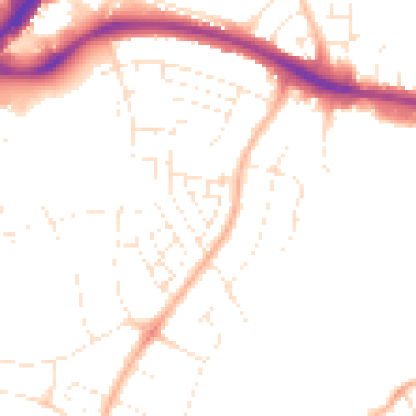
Daytime· 07:00 – 23:00
48.8dB

Night-time· 23:00 – 07:00
39.4dB