24 Morley Close, Little Stoke, Bristol, BS34 6SE
About 24 Morley Close
24 Morley Close is a two-bedroom semi-detached house in Little Stoke, Bristol, Bristol (BS34 6SE). It has a recorded floor area of 58 m² (around 624 sq ft), construction records dating it to 1983-1990 and council tax band B. The latest certificate (May 2025) shows a C (score 69), just inside the C band. When first surveyed in May 2014 the rating was D, the property has climbed 1 band since. Between certificates, wall efficiency went from Average to Good, hot-water efficiency went from Average to Good and lighting went from Poor to Very Good. The recommended improvements would push it to B (score 86). The home occupies a cul-de-sac position.
A recent sale: £307,500 in September 2025. At 58 m² it sits well below the postcode median (86 m² across 23 EPCs), making it one of the more compact homes locally. Across 2003–2025, sale prices on this property compounded at 4.7% per year. On a £-per-square-foot basis, the last sale (£493/sq ft) was about 131.5% above the typical sold price in the postcode.
What this property has
Inside
- Bedrooms2
- Bathrooms2
- Utility roomYes
- CloakroomYes
Outside
- Private gardenRear
- ParkingOff road
- Cul-de-sacYes
Building
- RefurbishedYes
Everything you need to know about 24 Morley Close
The true value, the hidden risks and the full sale history, in one report.
Pick your report · every report is £14.99
One time fee only - money back guarantee

The data behind every report


Energy performance
EPC Rating
Property Improvements
Changes detected from historical EPC data
Heating controls changed
Hot water system changed
Heating controls upgraded for better temperature management
Hot water system upgraded
Window efficiency improved
Cavity wall insulation installed
Roof insulation improved
More low energy lighting installed
Get a survey for this property
Level 2 HomeBuyer Report
We've checked 10 risk factors against the available data for this property and believe a Level 2 HomeBuyer Report could be a suitable option for you.
From £595 · Includes VAT
Planning history
24 Morley Close has no planning applications on record.
But the area is active
5 notable applications nearby — larger schemes and conversions that could reshape the street. The report maps them all.
Sales history & valuation
24 Morley Close has more than doubled in price since the earliest registered sale in 2003.
£330,000
Modelled from EPC, postcode comparables and a sale-price growth of 4.7% per year over 22 years.
£307,500
Growth on file: 4.7% per year over 22 years.
Sales timeline
17 September 2025Most recent
£307,500
+86.4%over 10 years9 October 2014
£165,000
+50.0%over 11 years10 July 2003
£110,000
Median price across the last 5 sales in BS34 6SE: £275,000 (2024–2021).
Nearby sales in BS34 6SE
15 Morley Close, Little Stoke, Bristol, BS34 6SE
Sold Jun 2024
£260,00034 Morley Close, Little Stoke, Bristol, BS34 6SE
Sold Feb 2022
£275,00025 Morley Close, Little Stoke, Bristol, BS34 6SE
Sold Jun 2021
£325,00023 Morley Close, Little Stoke, Bristol, BS34 6SE
Sold Mar 2021
£235,0284 Morley Close, Little Stoke, Bristol, BS34 6SE
Sold Feb 2021
£305,000
Versus other Morley Close homes
Price per m² for 24 Morley Close runs comfortably ahead of the street norm.
Price per m²
£5,302
Street avg £2,874
Floor Area
58 m²
Street avg 85 m²
Habitable Rooms
3 rooms
Street avg 5 rooms
CO₂ Emissions
2.2 t/year
Street avg 4.0 t/year
Everything you need to know about 24 Morley Close
The true value, the hidden risks and the full sale history, in one report.
Pick your report · every report is £14.99
One time fee only - money back guarantee
The data behind every report
Similar properties nearby
1 Gallivan Close, Little Stoke
BS34 6RW
1 Filby Drive, Little Stoke
BS34 6EL
1 Collins Avenue, Little Stoke
BS34 6JZ
1 Farley Close, Little Stoke
BS34 6HB
1 Brockley Close, Little Stoke
BS34 6EZ
1 Bourton Avenue, Patchway
BS34 6EB
1 Bibury Avenue, Patchway
BS34 6DE
1 Cranham Drive, Patchway
BS34 6AQ
The neighbourhood at a glance
Rail-style transport is unusually close for this postcode.
Crime
6/mo
Steady year-on-year across the wider district.
Nearest stop
0.2 km
Farley Close — bus stop.
Closest school
0.3 km
Holy Family Catholic Primary School. 20 schools nearby.
Go deeper on the local area
A Local Area report breaks down crime, transport links, schools and air quality in depth.
Road noise across the postcode
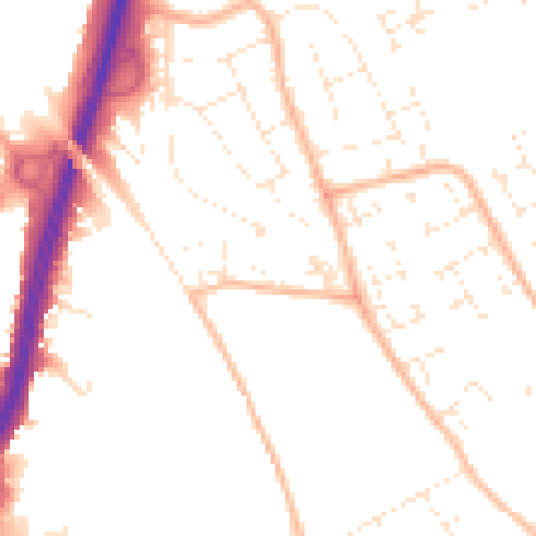
Daytime· 07:00 – 23:00
50.8dB

Night-time· 23:00 – 07:00
40.9dB