15 Morley Close, Little Stoke, Bristol, BS34 6SE
About 15 Morley Close
15 Morley Close is a two-bedroom semi-detached house in Little Stoke, Bristol, Bristol (BS34 6SE). It has a recorded floor area of 59 m² (around 635 sq ft), construction records dating it to 1976-1982 and council tax band B. The latest certificate (December 2014) shows a C (score 71). The recommended improvements would push it to B (score 87). The latest certificate is from December 2014, so improvements made since then won't be reflected. The home occupies a cul-de-sac position.
At 59 m² it sits well below the postcode median (86 m² across 23 EPCs), making it one of the more compact homes locally. Across 1996–2024, sale prices on this property compounded at 7.4% per year. Today's modelled estimate of £289,000 is 11.2% above the 2024 sale price. On a £-per-square-foot basis, the last sale (£409/sq ft) was about 92.4% above the typical sold price in the postcode. Most recent transfer: June 2024 at £260,000.
What this property has
Inside
- Bedrooms2
- Bathrooms1
Outside
- Private gardenRear
- ParkingOff street
- Cul-de-sacYes
Building
- RefurbishedYes
Everything you need to know about 15 Morley Close
The true value, the hidden risks and the full sale history, in one report.
Pick your report · every report is £14.99
One time fee only - money back guarantee

The data behind every report


Energy performance
15 Morley Close's EPC is over a decade old — improvements since won't be reflected.
EPC Expired
This certificate is over 10 years old and is no longer valid.Expired 27 Dec 2024
EPC Rating
Get a survey for this property
Level 2 HomeBuyer Report
We've checked 10 risk factors against the available data for this property and believe a Level 2 HomeBuyer Report could be a suitable option for you.
From £545 · Includes VAT
Planning history
15 Morley Close has no planning applications on record.
But the area is active
5 notable applications nearby — larger schemes and conversions that could reshape the street. The report maps them all.
Sales history & valuation
15 Morley Close has more than quadrupled in price since its earliest registered sale in 1996.
£289,000
Modelled from EPC, postcode comparables and a sale-price growth of 7.4% per year over 28 years.
£260,000
Growth on file: 7.4% per year over 28 years.
Sales timeline
13 June 2024Most recent
£260,000
+20.9%over 4 years15 October 2019
£215,000
+31.1%over 12 years17 June 2007
£164,000
+183.0%over 7 years18 July 1999
£57,950
+61.0%over 2 years8 September 1996
£36,000
Median price across the last 5 sales in BS34 6SE: £305,000 (2025–2021).
Nearby sales in BS34 6SE
24 Morley Close, Little Stoke, Bristol, BS34 6SE
Sold Sept 2025
£307,50034 Morley Close, Little Stoke, Bristol, BS34 6SE
Sold Feb 2022
£275,00025 Morley Close, Little Stoke, Bristol, BS34 6SE
Sold Jun 2021
£325,00023 Morley Close, Little Stoke, Bristol, BS34 6SE
Sold Mar 2021
£235,0284 Morley Close, Little Stoke, Bristol, BS34 6SE
Sold Feb 2021
£305,000
Versus other Morley Close homes
15 Morley Close is notably below the street on years held.
Price per m²
£4,407
Street avg £2,938
Floor Area
59 m²
Street avg 85 m²
Habitable Rooms
3 rooms
Street avg 5 rooms
CO₂ Emissions
2.1 t/year
Street avg 4.0 t/year
Everything you need to know about 15 Morley Close
The true value, the hidden risks and the full sale history, in one report.
Pick your report · every report is £14.99
One time fee only - money back guarantee
The data behind every report
Similar properties nearby
1 Gallivan Close, Little Stoke
BS34 6RW
1 Farley Close, Little Stoke
BS34 6HB
1 Filby Drive, Little Stoke
BS34 6EL
1 Collins Avenue, Little Stoke
BS34 6JZ
1 Brockley Close, Little Stoke
BS34 6EZ
1 Bourton Avenue, Patchway
BS34 6EB
1 Bibury Avenue, Patchway
BS34 6DE
1 Cranham Drive, Patchway
BS34 6AQ
The neighbourhood at a glance
Rail-style transport is unusually close for this postcode.
Crime
6/mo
Steady year-on-year across the wider district.
Nearest stop
0.2 km
Farley Close — bus stop.
Closest school
0.3 km
Holy Family Catholic Primary School. 20 schools nearby.
Go deeper on the local area
A Local Area report breaks down crime, transport links, schools and air quality in depth.
Road noise across the postcode
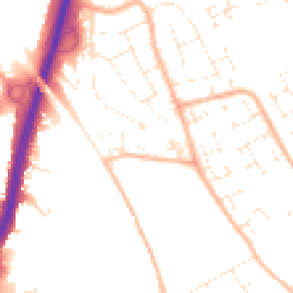
Daytime· 07:00 – 23:00
50.8dB

Night-time· 23:00 – 07:00
40.9dB