9 Gifford Crescent, Little Stoke, Bristol, BS34 6JJ
About 9 Gifford Crescent
9 Gifford Crescent is a property in Little Stoke, Bristol, Bristol (BS34 6JJ). It has council tax band B.
Energy performance
No EPC on record
This property doesn't have an Energy Performance Certificate yet. An EPC is required to sell or let — and unlocks our automated valuation.
Get a survey for this property
Level 2 HomeBuyer Report
We've checked 10 risk factors against the available data for this property and believe a Level 2 HomeBuyer Report could be a suitable option for you.
Planning history
No planning applications are recorded against 9 Gifford Crescent, Little Stoke, Bristol, BS34 6JJ. The full report also covers planning activity across the surrounding area.
Sales history & valuation
No sales recorded with HM Land Registry
That can mean the property has never traded since the registry began publishing in 1995, was a new build that hasn't been registered yet, or is held in the same hands long-term.
Median price across the last 5 sales in BS34 6JJ: £300,000 (2025–2016).
Nearby sales in BS34 6JJ
3 Gifford Crescent, Little Stoke, Bristol, BS34 6JJ
Sold Feb 2025
£300,00010 Gifford Crescent, Little Stoke, Bristol, BS34 6JJ
Sold Nov 2024
£337,0001 Gifford Crescent, Little Stoke, Bristol, BS34 6JJ
Sold Jul 2022
£325,0005 Gifford Crescent, Little Stoke, Bristol, BS34 6JJ
Sold May 2021
£275,0002 Gifford Crescent, Little Stoke, Bristol, BS34 6JJ
Sold Mar 2016
£205,000
Similar properties nearby
1 Albion Terrace, The Common, Patchway
BS34 6AN
1 Amberley Road, Patchway
BS34 6BU
1 Ash Close, Little Stoke
BS34 6RE
1 Bibury Avenue, Patchway
BS34 6DE
1 Bourton Avenue, Patchway
BS34 6EB
1 Bourton Close, Patchway
BS34 6EQ
1 Bowsland Court, The Common East, Bradley Stoke
BS34 6BA
1 Braydon Avenue, Little Stoke
BS34 6EH
The neighbourhood at a glance
Rail-style transport is unusually close for this postcode.
Crime
6/mo
Steady year-on-year across the wider district.
Nearest stop
0.0 km
Kingsway Roundabout — bus stop.
Closest school
0.5 km
Little Stoke Primary School. 24 schools nearby.
Road noise across the postcode
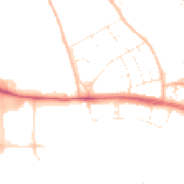
Daytime· 07:00 – 23:00
47.3dB

Night-time· 23:00 – 07:00
38.5dB