19 Hercules Close, Little Stoke, Bristol, BS34 6JE
About 19 Hercules Close
19 Hercules Close is a property in Little Stoke, Bristol, Bristol (BS34 6JE). It has council tax band A.
Untraded for 24 years, with the last transfer in June 2002.
Everything you need to know about 19 Hercules Close
The true value, the hidden risks and the full sale history, in one report.
Pick your report · every report is £14.99
One time fee only - money back guarantee

The data behind every report


Energy performance
No EPC on record
This property doesn't have an Energy Performance Certificate yet. An EPC is required to sell or let — and unlocks our automated valuation.
Get a survey for this property
Level 2 HomeBuyer Report
We've checked 10 risk factors against the available data for this property and believe a Level 2 HomeBuyer Report could be a suitable option for you.
Planning history
19 Hercules Close has no planning applications on record.
But the area is active
5 notable applications nearby — larger schemes and conversions that could reshape the street. The report maps them all.
Sales history & valuation
£69,000
Recorded with HM Land Registry.
Sales timeline
4 June 2002Most recent
£69,000
Median price across the last 5 sales in BS34 6JE: £205,000 (2025–2019).
Nearby sales in BS34 6JE
52 Hercules Close, Little Stoke, Bristol, BS34 6JE
Sold May 2025
£240,00018 Hercules Close, Little Stoke, Bristol, BS34 6JE
Sold Oct 2022
£241,00043 Hercules Close, Little Stoke, Bristol, BS34 6JE
Sold Apr 2021
£191,00045 Hercules Close, Little Stoke, Bristol, BS34 6JE
Sold Feb 2021
£205,00057 Hercules Close, Little Stoke, Bristol, BS34 6JE
Sold Dec 2019
£198,000
Everything you need to know about 19 Hercules Close
The true value, the hidden risks and the full sale history, in one report.
Pick your report · every report is £14.99
One time fee only - money back guarantee
The data behind every report
Similar properties nearby
1 Amberley Road, Patchway
BS34 6BU
1 Hercules Close, Little Stoke
BS34 6JE
1 Gifford Crescent, Little Stoke
BS34 6JJ
1 Elm Close, Little Stoke
BS34 6RG
1 Gallivan Close, Little Stoke
BS34 6RW
1 Ash Close, Little Stoke
BS34 6RE
1 Farley Close, Little Stoke
BS34 6HB
1 Filby Drive, Little Stoke
BS34 6EL
The neighbourhood at a glance
Rail-style transport is unusually close for this postcode.
Crime
6/mo
Steady year-on-year across the wider district.
Nearest stop
0.1 km
Orpheus Avenue — bus stop.
Closest school
0.2 km
Little Stoke Primary School. 22 schools nearby.
Go deeper on the local area
A Local Area report breaks down crime, transport links, schools and air quality in depth.
Road noise across the postcode
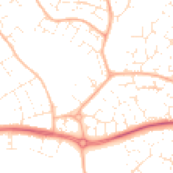
Daytime· 07:00 – 23:00
49.9dB

Night-time· 23:00 – 07:00
39.0dB