16 Bourton Close, Patchway, Bristol, BS34 6EQ
About 16 Bourton Close
16 Bourton Close is a three-bedroom semi-detached house in Patchway, Bristol, Bristol (BS34 6EQ). It has a recorded floor area of 119 m² (around 1281 sq ft), construction records dating it to 1967-1975 and council tax band D. The latest certificate (November 2018) shows a D (score 60), on the cusp of jumping into the C band. The recommended improvements would lift it to B (score 85), a 2-band jump.
At 119 m² it's 23.3% larger than the typical home in the postcode (97 m² median across 8 EPCs). Today's modelled estimate of £414,000 is 25.5% above the 2021 sale price. Sold September 2021 for £330,000. That sale was during the post-pandemic price surge, when transactions cleared materially above pre-2020 trend.
What this property has
Inside
- Bedrooms3
- Bathrooms1
- Dining roomYes
- Utility roomYes
- EnsuiteYes
Outside
- GarageYes
Everything you need to know about 16 Bourton Close
The true value, the hidden risks and the full sale history, in one report.
Pick your report · every report is £14.99
One time fee only - money back guarantee

The data behind every report


Energy performance
Recommended upgrades on file would lift this property by multiple EPC bands.
EPC Rating
Get a survey for this property
Level 2 HomeBuyer Report
We've checked 10 risk factors against the available data for this property and believe a Level 2 HomeBuyer Report could be a suitable option for you.
From £695 · Includes VAT
Planning history
16 Bourton Close has no planning applications on record.
But the area is active
5 notable applications nearby — larger schemes and conversions that could reshape the street. The report maps them all.
Sales history & valuation
The latest sale landed in the post-pandemic price surge — useful context when reading the figure.
£414,000
Modelled from EPC, postcode comparables.
£330,000
Recorded with HM Land Registry.
Sales timeline
29 September 2021Most recent
£330,000
Median price across the last 5 sales in BS34 6EQ: £365,000 (2024–2017).
Nearby sales in BS34 6EQ
4 Bourton Close, Patchway, Bristol, BS34 6EQ
Sold Oct 2024
£365,00015 Bourton Close, Patchway, Bristol, BS34 6EQ
Sold Nov 2022
£395,0003 Bourton Close, Patchway, Bristol, BS34 6EQ
Sold Jun 2022
£375,00019 Bourton Close, Patchway, Bristol, BS34 6EQ
Sold Apr 2019
£250,00011 Bourton Close, Patchway, Bristol, BS34 6EQ
Sold Jul 2015
£255,000
Versus other Bourton Close homes
Floor Area for 16 Bourton Close runs comfortably ahead of the street norm.
Price per m²
£2,773
Street avg £3,327
Floor Area
119 m²
Street avg 98 m²
Habitable Rooms
5 rooms
Street avg 5 rooms
CO₂ Emissions
5.4 t/year
Street avg 4.6 t/year
Everything you need to know about 16 Bourton Close
The true value, the hidden risks and the full sale history, in one report.
Pick your report · every report is £14.99
One time fee only - money back guarantee
The data behind every report
Similar properties nearby
1 Bibury Avenue, Patchway
BS34 6DE
1 Bourton Avenue, Patchway
BS34 6EB
1 Cranham Drive, Patchway
BS34 6AQ
1 Brockley Close, Little Stoke
BS34 6EZ
1 Collins Avenue, Little Stoke
BS34 6JZ
1 Filby Drive, Little Stoke
BS34 6EL
1 Farley Close, Little Stoke
BS34 6HB
1 Clanberris Court, Redfield Road, Patchway
BS34 6PJ
The neighbourhood at a glance
Rail-style transport is unusually close for this postcode.
Crime
6/mo
Steady year-on-year across the wider district.
Nearest stop
0.2 km
Bourton Avenue — bus stop.
Closest school
0.2 km
Stoke Lodge Primary School. 20 schools nearby.
Go deeper on the local area
A Local Area report breaks down crime, transport links, schools and air quality in depth.
Road noise across the postcode
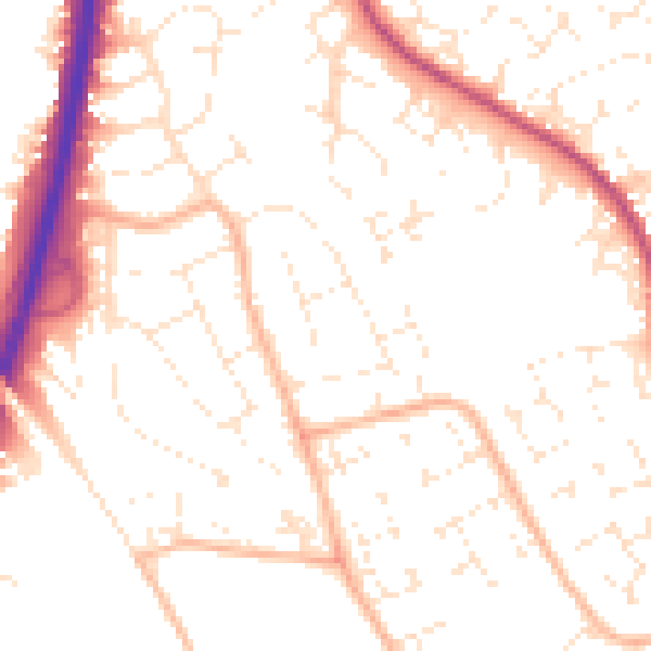
Daytime· 07:00 – 23:00
51.9dB

Night-time· 23:00 – 07:00
41.5dB