5 Arlingham Way, Patchway, Bristol, BS34 5NH
About 5 Arlingham Way
5 Arlingham Way is a property in Patchway, Bristol, Bristol (BS34 5NH). It has council tax band B.
Energy performance
No EPC on record
This property doesn't have an Energy Performance Certificate yet. An EPC is required to sell or let — and unlocks our automated valuation.
Get a survey for this property
Level 2 HomeBuyer Report
We've checked 10 risk factors against the available data for this property and believe a Level 2 HomeBuyer Report could be a suitable option for you.
Planning history
No planning applications are recorded against 5 Arlingham Way, Patchway, Bristol, BS34 5NH. The full report also covers planning activity across the surrounding area.
Sales history & valuation
No sales recorded with HM Land Registry
That can mean the property has never traded since the registry began publishing in 1995, was a new build that hasn't been registered yet, or is held in the same hands long-term.
Median price across the last 5 sales in BS34 5NH: £235,000 (2022–2018).
Nearby sales in BS34 5NH
49 Arlingham Way, Patchway, Bristol, BS34 5NH
Sold Dec 2022
£268,00069 Arlingham Way, Patchway, Bristol, BS34 5NH
Sold Nov 2021
£250,00047 Arlingham Way, Patchway, Bristol, BS34 5NH
Sold Jan 2021
£235,00071 Arlingham Way, Patchway, Bristol, BS34 5NH
Sold Oct 2018
£222,00013 Arlingham Way, Patchway, Bristol, BS34 5NH
Sold Sept 2018
£233,000
Similar properties nearby
1 Arlingham Way, Patchway
BS34 5NH
1 Ashford Road, Patchway
BS34 5DX
1 Ashley House, Elmore Road, Patchway
BS34 5NU
1 Bay Tree Close, Patchway
BS34 5EU
1 Beck House, Derwent Close, Patchway
BS34 5JD
1 Bevington Close, Patchway
BS34 5NN
1 Bevington Walk, Patchway
BS34 5NY
1 Birch Close, Patchway
BS34 5SB
The neighbourhood at a glance
Crime
6/mo
Steady year-on-year across the wider district.
Nearest stop
0.1 km
Durban Road — bus stop.
Closest school
0.3 km
Coniston Primary School. 16 schools nearby.
Road noise across the postcode
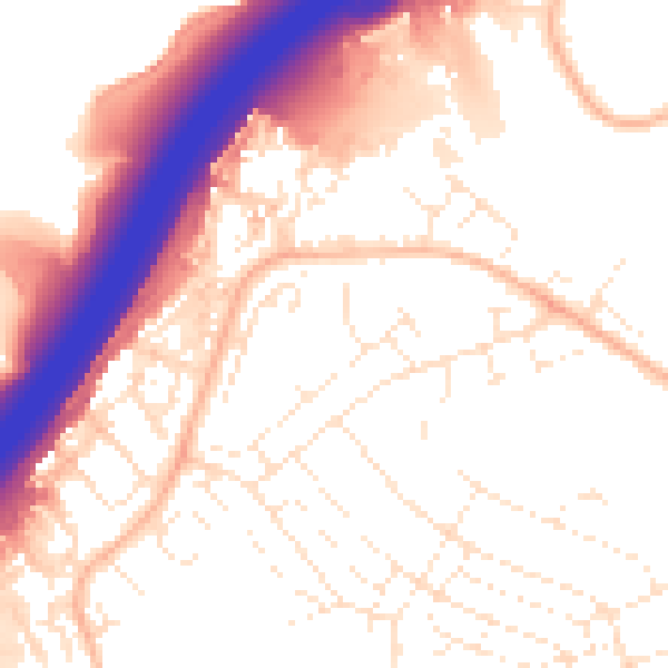
Daytime· 07:00 – 23:00
55.0dB

Night-time· 23:00 – 07:00
45.4dB