71 Arlingham Way, Patchway, Bristol, BS34 5NH
About 71 Arlingham Way
71 Arlingham Way is a three-bedroom mid-terrace house in Patchway, Bristol, Bristol (BS34 5NH). It has a recorded floor area of 77 m² (around 829 sq ft), construction records dating it to 1950-1966 and council tax band B. The latest certificate (June 2018) shows a D (score 64), on the cusp of jumping into the C band. The recommended improvements would push it to C (score 77).
Sold October 2018 for £222,000. Across the public record there are 5 sales, relatively high churn for a single property. Across 1999–2018, sale prices on this property compounded at 8.4% per year. Today's modelled estimate of £291,000 is 31.1% above the 2018 sale price. On a £-per-square-foot basis, the last sale (£268/sq ft) was about 83.2% above the typical sold price in the postcode.
What this property has
Inside
- Bedrooms3
- Bathrooms1
Outside
- GarageYes
Building
- Heating systemGas
- RefurbishedYes
Everything you need to know about 71 Arlingham Way
The true value, the hidden risks and the full sale history, in one report.
Pick your report · every report is £14.99
One time fee only - money back guarantee

The data behind every report


Energy performance
EPC Rating
Get a survey for this property
Level 2 HomeBuyer Report
We've checked 10 risk factors against the available data for this property and believe a Level 2 HomeBuyer Report could be a suitable option for you.
From £545 · Includes VAT
Planning history
71 Arlingham Way has no planning applications on record.
But the area is active
11 notable applications nearby — larger schemes and conversions that could reshape the street. The report maps them all.
Sales history & valuation
Price for 71 Arlingham Way has grown more than fourfold since the 1999 starting point.
£291,000
Modelled from EPC, postcode comparables and a sale-price growth of 8.4% per year over 19 years.
£222,000
Growth on file: 8.4% per year over 19 years.
Sales timeline
4 October 2018Most recent
£222,000
+41.4%over 11 years27 September 2007
£157,000
+35.3%over 1 year6 December 2005
£116,000
+100.0%over 5 years27 July 2000
£58,000
+20.8%over 10 months30 September 1999
£48,000
Median price across the last 5 sales in BS34 5NH: £235,000 (2022–2018).
Nearby sales in BS34 5NH
49 Arlingham Way, Patchway, Bristol, BS34 5NH
Sold Dec 2022
£268,00069 Arlingham Way, Patchway, Bristol, BS34 5NH
Sold Nov 2021
£250,00047 Arlingham Way, Patchway, Bristol, BS34 5NH
Sold Jan 2021
£235,00013 Arlingham Way, Patchway, Bristol, BS34 5NH
Sold Sept 2018
£233,00033 Arlingham Way, Patchway, Bristol, BS34 5NH
Sold Jan 2018
£183,000
Versus other Arlingham Way homes
71 Arlingham Way outperforms the street on price per m² by a wide margin.
Price per m²
£2,883
Street avg £2,208
Floor Area
77 m²
Street avg 78 m²
Habitable Rooms
4 rooms
Street avg 5 rooms
CO₂ Emissions
3.4 t/year
Street avg 3.3 t/year
Everything you need to know about 71 Arlingham Way
The true value, the hidden risks and the full sale history, in one report.
Pick your report · every report is £14.99
One time fee only - money back guarantee
The data behind every report
Similar properties nearby
1 Birch Close, Patchway
BS34 5SB
1 Donns Close, Patchway
BS34 5JW
1 Eagle Drive, Patchway
BS34 5RJ
1 Clermont Close, Patchway
BS34 5QJ
1 Calves Garden, Patchway
BS34 5GZ
1 Buckleys Road, Patchway
BS34 5BJ
1 Broad Croft, Patchway
BS34 5FS
1 Eamoth Ground, Patchway
BS34 5SR
The neighbourhood at a glance
Crime
6/mo
Steady year-on-year across the wider district.
Nearest stop
0.1 km
Durban Road — bus stop.
Closest school
0.3 km
Coniston Primary School. 16 schools nearby.
Go deeper on the local area
A Local Area report breaks down crime, transport links, schools and air quality in depth.
Road noise across the postcode
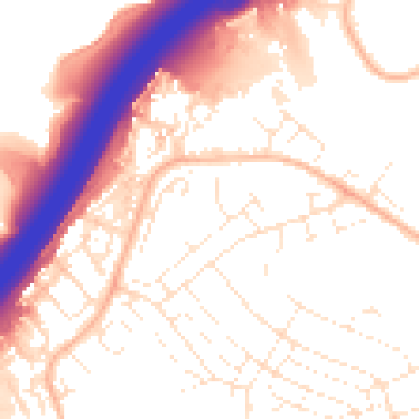
Daytime· 07:00 – 23:00
55.0dB

Night-time· 23:00 – 07:00
45.4dB