9 Blakeney Road, Patchway, Bristol, BS34 5LY
About 9 Blakeney Road
9 Blakeney Road is a three-bedroom mid-terrace house in Patchway, Bristol, Bristol (BS34 5LY). It has a recorded floor area of 77 m² (around 829 sq ft), construction records dating it to 1950-1966 and council tax band B. The latest certificate (October 2020) shows a D (score 68), on the cusp of jumping into the C band. The recommended improvements would lift it to B (score 81), a 2-band jump.
Today's modelled estimate of £286,000 is 21.7% above the 2021 sale price. On a £-per-square-foot basis, the last sale (£284/sq ft) was about 62.1% above the typical sold price in the postcode. Last sale on file: £235,000 in February 2021. That sale was during the post-pandemic price surge, when transactions cleared materially above pre-2020 trend.
What this property has
Inside
- Bedrooms3
- Bathrooms1
- Dining roomYes
Outside
- Private gardenRear
Everything you need to know about 9 Blakeney Road
The true value, the hidden risks and the full sale history, in one report.
Pick your report · every report is £14.99
One time fee only - money back guarantee

The data behind every report


Energy performance
Recommended upgrades on file would lift this property by multiple EPC bands.
EPC Rating
Get a survey for this property
Level 2 HomeBuyer Report
We've checked 10 risk factors against the available data for this property and believe a Level 2 HomeBuyer Report could be a suitable option for you.
From £545 · Includes VAT
Planning history
9 Blakeney Road has no planning applications on record.
But the area is active
11 notable applications nearby — larger schemes and conversions that could reshape the street. The report maps them all.
Sales history & valuation
The latest sale landed in the post-pandemic price surge — useful context when reading the figure.
£286,000
Modelled from EPC, postcode comparables.
£235,000
Recorded with HM Land Registry.
Sales timeline
12 February 2021Most recent
£235,000
Median price across the last 5 sales in BS34 5LY: £275,000 (2025–2021).
Nearby sales in BS34 5LY
31 Blakeney Road, Patchway, Bristol, BS34 5LY
Sold Feb 2025
£280,00017 Blakeney Road, Patchway, Bristol, BS34 5LY
Sold Jun 2024
£270,0001 Blakeney Road, Patchway, Bristol, BS34 5LY
Sold May 2022
£315,00013 Blakeney Road, Patchway, Bristol, BS34 5LY
Sold Dec 2021
£272,50023 Blakeney Road, Patchway, Bristol, BS34 5LY
Sold May 2019
£205,000
Versus other Blakeney Road homes
On floor area, 9 Blakeney Road runs well behind the street norm.
Price per m²
£3,052
Street avg £2,807
Floor Area
77 m²
Street avg 85 m²
Habitable Rooms
5 rooms
Street avg 5 rooms
CO₂ Emissions
2.9 t/year
Street avg 3.5 t/year
Everything you need to know about 9 Blakeney Road
The true value, the hidden risks and the full sale history, in one report.
Pick your report · every report is £14.99
One time fee only - money back guarantee
The data behind every report
Similar properties nearby
1 Birch Close, Patchway
BS34 5SB
1 Donns Close, Patchway
BS34 5JW
1 Eagle Drive, Patchway
BS34 5RJ
1 Clermont Close, Patchway
BS34 5QJ
1 Calves Garden, Patchway
BS34 5GZ
1 Buckleys Road, Patchway
BS34 5BJ
1 Broad Croft, Patchway
BS34 5FS
1 Eamoth Ground, Patchway
BS34 5SR
The neighbourhood at a glance
Crime
6/mo
Steady year-on-year across the wider district.
Nearest stop
0.2 km
Coniston Road Shops — bus stop.
Closest school
0.2 km
Coniston Primary School. 16 schools nearby.
Go deeper on the local area
A Local Area report breaks down crime, transport links, schools and air quality in depth.
Road noise across the postcode
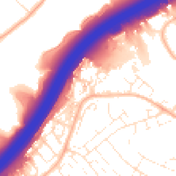
Daytime· 07:00 – 23:00
57.0dB

Night-time· 23:00 – 07:00
47.9dB