41 Cedar Close, Patchway, Bristol, BS34 5HD
About 41 Cedar Close
41 Cedar Close is a three-bedroom mid-terrace house in Patchway, Bristol, Bristol (BS34 5HD). It has a recorded floor area of 87 m² (around 936 sq ft), construction records dating it to 1967-1975 and council tax band B. The latest certificate (May 2014) shows a D (score 65), on the cusp of jumping into the C band. Earlier certificates rated it C (June 2012); the latest reading is one band lower. Between certificates, roof efficiency dropped from Good to Very Poor and lighting dropped from Very Good to Average. The recommended improvements would lift it to B (score 89), a 2-band jump. The latest certificate is from May 2014, so improvements made since then won't be reflected.
Across 2007–2012, sale prices on this property compounded at -2.7% per year. Today's modelled estimate of £268,000 sits 88.7% above the 2012 sale of £142,000. At 87 m² it's 26.1% larger than the typical home in the postcode (69 m² median across 17 EPCs). Last changed hands 14 years ago, in November 2012.
What this property has
Inside
- Bedrooms3
- Dining roomYes
Outside
- GarageYes
Everything you need to know about 41 Cedar Close
The true value, the hidden risks and the full sale history, in one report.
Pick your report · every report is £14.99
One time fee only - money back guarantee

The data behind every report


Energy performance
Recommended upgrades on file would lift this property by multiple EPC bands.
EPC Expired
This certificate is over 10 years old and is no longer valid.Expired 21 May 2024
EPC Rating
Get a survey for this property
Level 2 HomeBuyer Report
We've checked 10 risk factors against the available data for this property and believe a Level 2 HomeBuyer Report could be a suitable option for you.
From £545 · Includes VAT
Planning history
41 Cedar Close has no planning applications on record.
But the area is active
11 notable applications nearby — larger schemes and conversions that could reshape the street. The report maps them all.
Sales history & valuation
41 Cedar Close valuation sits well clear of the typical sold price in this postcode.
£268,000
Modelled from EPC, postcode comparables and a sale-price growth of -2.7% per year over 5 years.
£142,000
Growth on file: -2.7% per year over 5 years.
Sales timeline
20 November 2012Most recent
£142,000
-13.9%over 5 years14 June 2007
£165,000
Median price across the last 5 sales in BS34 5HD: £239,000 (2025–2020).
Nearby sales in BS34 5HD
27 Cedar Close, Patchway, Bristol, BS34 5HD
Sold Mar 2025
£290,00039 Cedar Close, Patchway, Bristol, BS34 5HD
Sold Jan 2024
£280,00021 Cedar Close, Patchway, Bristol, BS34 5HD
Sold Feb 2023
£160,00031 Cedar Close, Patchway, Bristol, BS34 5HD
Sold Mar 2021
£235,00033 Cedar Close, Patchway, Bristol, BS34 5HD
Sold Sept 2019
£221,000
Versus other Cedar Close homes
Price per m² for 41 Cedar Close lags the street by a wide margin.
Price per m²
£1,632
Street avg £2,247
Floor Area
87 m²
Street avg 81 m²
Habitable Rooms
5 rooms
Street avg 4 rooms
CO₂ Emissions
3.4 t/year
Street avg 3.9 t/year
Everything you need to know about 41 Cedar Close
The true value, the hidden risks and the full sale history, in one report.
Pick your report · every report is £14.99
One time fee only - money back guarantee
The data behind every report
Similar properties nearby
1 Birch Close, Patchway
BS34 5SB
1 Donns Close, Patchway
BS34 5JW
1 Eagle Drive, Patchway
BS34 5RJ
1 Clermont Close, Patchway
BS34 5QJ
1 Calves Garden, Patchway
BS34 5GZ
1 Buckleys Road, Patchway
BS34 5BJ
1 Broad Croft, Patchway
BS34 5FS
1 Eamoth Ground, Patchway
BS34 5SR
The neighbourhood at a glance
Crime
6/mo
Steady year-on-year across the wider district.
Nearest stop
0.1 km
Fir Tree Close — bus stop.
Closest school
0.2 km
Callicroft Primary School. 21 schools nearby.
Go deeper on the local area
A Local Area report breaks down crime, transport links, schools and air quality in depth.
Road noise across the postcode
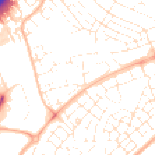
Daytime· 07:00 – 23:00
51.4dB

Night-time· 23:00 – 07:00
40.0dB