52 Callicroft Road, Patchway, Bristol, BS34 5BX
About 52 Callicroft Road
52 Callicroft Road is a two-bedroom semi-detached house in Patchway, Bristol, Bristol (BS34 5BX). It has a recorded floor area of 76 m² (around 818 sq ft), construction records dating it to 1930-1949 and council tax band B. The latest certificate (April 2019) shows a D (score 60), on the cusp of jumping into the C band. The recommended improvements would lift it to B (score 85), a 2-band jump.
Today's modelled estimate of £295,000 is 47.5% above the 2019 sale price. On a £-per-square-foot basis, the last sale (£244/sq ft) was about 29% above the typical sold price in the postcode. At 76 m² it's 15.8% smaller than the typical home in the postcode (90 m² median across 14 EPCs). Last sale on file: £200,000 in June 2019.
What this property has
Inside
- Bedrooms2
- Bathrooms1
Outside
- Private gardenFront and rear
Building
- RefurbishedYes
Everything you need to know about 52 Callicroft Road
The true value, the hidden risks and the full sale history, in one report.
Pick your report · every report is £14.99
One time fee only - money back guarantee

The data behind every report


Energy performance
Recommended upgrades on file would lift this property by multiple EPC bands.
EPC Rating
Get a survey for this property
Level 2 HomeBuyer Report
We've checked 10 risk factors against the available data for this property and believe a Level 2 HomeBuyer Report could be a suitable option for you.
From £545 · Includes VAT
Planning history
52 Callicroft Road has no planning applications on record.
But the area is active
11 notable applications nearby — larger schemes and conversions that could reshape the street. The report maps them all.
Sales history & valuation
52 Callicroft Road valuation sits well clear of the typical sold price in this postcode.
£295,000
Modelled from EPC, postcode comparables.
£200,000
Recorded with HM Land Registry.
Sales timeline
12 June 2019Most recent
£200,000
Median price across the last 5 sales in BS34 5BX: £280,000 (2022–2018).
Nearby sales in BS34 5BX
48 Callicroft Road, Patchway, Bristol, BS34 5BX
Sold Jan 2022
£358,00024 Callicroft Road, Patchway, Bristol, BS34 5BX
Sold Sept 2021
£280,00034 Callicroft Road, Patchway, Bristol, BS34 5BX
Sold Nov 2019
£285,00070 Callicroft Road, Patchway, Bristol, BS34 5BX
Sold Feb 2019
£240,00036 Callicroft Road, Patchway, Bristol, BS34 5BX
Sold Apr 2018
£260,000
Versus other Callicroft Road homes
52 Callicroft Road is notably below the street on floor area.
Price per m²
£2,632
Street avg £2,435
Floor Area
76 m²
Street avg 94 m²
Habitable Rooms
4 rooms
Street avg 5 rooms
CO₂ Emissions
3.8 t/year
Street avg 3.9 t/year
Everything you need to know about 52 Callicroft Road
The true value, the hidden risks and the full sale history, in one report.
Pick your report · every report is £14.99
One time fee only - money back guarantee
The data behind every report
Similar properties nearby
1 Bay Tree Close, Patchway
BS34 5EU
1 Brick Hill Way, Patchway
BS34 5UY
1 Arlingham Way, Patchway
BS34 5NH
1 Ashley House, Elmore Road, Patchway
BS34 5NU
1 Birch Close, Patchway
BS34 5SB
1 Donns Close, Patchway
BS34 5JW
1 Eagle Drive, Patchway
BS34 5RJ
1 Clermont Close, Patchway
BS34 5QJ
The neighbourhood at a glance
Rail-style transport is unusually close for this postcode.
Crime
6/mo
Steady year-on-year across the wider district.
Nearest stop
0.2 km
Fire Station — bus stop.
Closest school
0.3 km
Charlton Wood Primary Academy. 23 schools nearby.
Go deeper on the local area
A Local Area report breaks down crime, transport links, schools and air quality in depth.
Road noise across the postcode
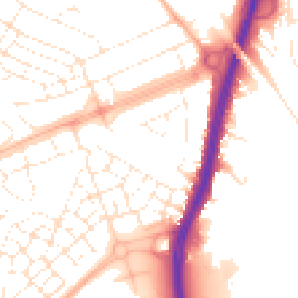
Daytime· 07:00 – 23:00
52.5dB

Night-time· 23:00 – 07:00
42.4dB