20 Hammond Road, Patchway, Bristol, BS34 5AP
About 20 Hammond Road
20 Hammond Road is a four-bedroom mid-terrace house in Patchway, Bristol, Bristol (BS34 5AP). It has a recorded floor area of 109 m² (around 1173 sq ft), construction records dating it to 2007-2011 and council tax band D. The latest certificate (December 2021) shows a C (score 79), near the top of the C band. Earlier certificates rated it B (June 2011); the latest reading is one band lower. Between certificates, window efficiency dropped from Very Good to Good. The recommended improvements would push it to B (score 89).
At 109 m² the property is well over the postcode median (71 m² across 32 EPCs), placing it in the larger end of the local stock. Last sale on file: £340,000 in August 2022. That sale was during the post-pandemic price surge, when transactions cleared materially above pre-2020 trend.
What this property has
Inside
- Bedrooms4
- Bathrooms3
- EnsuiteYes
Outside
- GarageYes
Everything you need to know about 20 Hammond Road
The true value, the hidden risks and the full sale history, in one report.
Pick your report · every report is £14.99
One time fee only - money back guarantee

The data behind every report


Energy performance
EPC Rating
Property Improvements
Changes detected from historical EPC data
Heating controls changed
More low energy lighting installed
Get a survey for this property
Level 2 HomeBuyer Report
We've checked 10 risk factors against the available data for this property and believe a Level 2 HomeBuyer Report could be a suitable option for you.
From £595 · Includes VAT
Planning history
20 Hammond Road has no planning applications on record.
But the area is active
11 notable applications nearby — larger schemes and conversions that could reshape the street. The report maps them all.
Sales history & valuation
The latest sale landed in the post-pandemic price surge — useful context when reading the figure.
£365,000
Modelled from EPC, postcode comparables.
£340,000
Recorded with HM Land Registry.
Sales timeline
25 August 2022Most recent
£340,000
Median price across the last 5 sales in BS34 5AP: £210,000 (2024–2024).
Nearby sales in BS34 5AP
38 Hammond Road, Patchway, Bristol, BS34 5AP
Sold Apr 2024
£210,00034 Hammond Road, Patchway, Bristol, BS34 5AP
Sold Apr 2024
£210,00030 Hammond Road, Patchway, Bristol, BS34 5AP
Sold Apr 2024
£210,00032 Hammond Road, Patchway, Bristol, BS34 5AP
Sold Apr 2024
£210,00036 Hammond Road, Patchway, Bristol, BS34 5AP
Sold Apr 2024
£210,000
Versus other Hammond Road homes
20 Hammond Road is notably below the street on years held.
Price per m²
£3,119
Street avg £7,038
Floor Area
109 m²
Street avg 71 m²
Habitable Rooms
5 rooms
Street avg 5 rooms
CO₂ Emissions
2.2 t/year
Street avg 2.0 t/year
Everything you need to know about 20 Hammond Road
The true value, the hidden risks and the full sale history, in one report.
Pick your report · every report is £14.99
One time fee only - money back guarantee
The data behind every report
Similar properties nearby
1 Blakeney Road, Patchway
BS34 5LY
1 Brighton Road, Patchway
BS34 5EL
1 Calves Garden, Patchway
BS34 5GZ
1 Buckleys Road, Patchway
BS34 5BJ
1 Clermont Close, Patchway
BS34 5QJ
1 Broad Croft, Patchway
BS34 5FS
1 Eamoth Ground, Patchway
BS34 5SR
1 Eagle Drive, Patchway
BS34 5RJ
The neighbourhood at a glance
Crime
6/mo
Steady year-on-year across the wider district.
Nearest stop
0.2 km
Fir Tree Close — bus stop.
Closest school
0.2 km
Charlton Wood Primary Academy. 23 schools nearby.
Go deeper on the local area
A Local Area report breaks down crime, transport links, schools and air quality in depth.
Road noise across the postcode
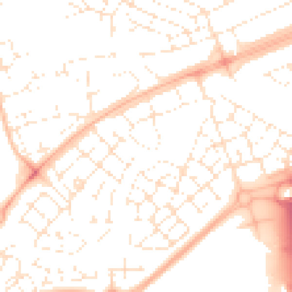
Daytime· 07:00 – 23:00
51.5dB

Night-time· 23:00 – 07:00
39.7dB