36 Hammond Road, Patchway, Bristol, BS34 5AP
About 36 Hammond Road
36 Hammond Road is a semi-detached house in Patchway, Bristol, Bristol (BS34 5AP). It has a recorded floor area of 60 m² (around 646 sq ft), construction records dating it to 2012 onwards and council tax band B. The latest certificate (July 2023) returns a B (score 81), comfortably above the UK average. When first surveyed in June 2011 the rating was C, the property has climbed 1 band since. Between certificates, wall efficiency went from Good to Very Good; while window efficiency dropped from Very Good to Good. At 60 m² this is the 14th smallest of 33 units on EPC record in the building, where floor areas span 5–110 m². The building's EPC ratings span C to B, with this unit at the top.
At 60 m² it's 15.5% smaller than the typical home in the postcode (71 m² median across 32 EPCs). Sold April 2024 for £210,000.
Everything you need to know about 36 Hammond Road
The true value, the hidden risks and the full sale history, in one report.
Pick your report · every report is £14.99
One time fee only - money back guarantee

The data behind every report


Energy performance
36 Hammond Road's carbon output is low for the local stock.
EPC Rating
Property Improvements
Changes detected from historical EPC data
Heating controls changed
Wall insulation improved
More low energy lighting installed
Get a survey for this property
Level 2 HomeBuyer Report
We've checked 10 risk factors against the available data for this property and believe a Level 2 HomeBuyer Report could be a suitable option for you.
From £495 · Includes VAT
Planning history
36 Hammond Road has no planning applications on record.
But the area is active
11 notable applications nearby — larger schemes and conversions that could reshape the street. The report maps them all.
Sales history & valuation
£195,000
Modelled from EPC, postcode comparables.
£210,000
Recorded with HM Land Registry.
Sales timeline
24 April 2024Most recent
£210,000
Median price across the last 5 sales in BS34 5AP: £210,000 (2024–2024).
Nearby sales in BS34 5AP
38 Hammond Road, Patchway, Bristol, BS34 5AP
Sold Apr 2024
£210,00034 Hammond Road, Patchway, Bristol, BS34 5AP
Sold Apr 2024
£210,00030 Hammond Road, Patchway, Bristol, BS34 5AP
Sold Apr 2024
£210,00032 Hammond Road, Patchway, Bristol, BS34 5AP
Sold Apr 2024
£210,00044 Hammond Road, Patchway, Bristol, BS34 5AP
Sold Feb 2024
£350,000
Versus other Hammond Road homes
36 Hammond Road outperforms the street on floor area by a wide margin.
Price per m²
£3,500
Street avg £10,715
Floor Area
60 m²
Street avg 49 m²
Habitable Rooms
3 rooms
Street avg 3 rooms
CO₂ Emissions
1.2 t/year
Street avg 1.2 t/year
Everything you need to know about 36 Hammond Road
The true value, the hidden risks and the full sale history, in one report.
Pick your report · every report is £14.99
One time fee only - money back guarantee
The data behind every report
Similar properties nearby
1 Borkley Street, Patchway
BS34 5DB
1 Cranbourne Road, Patchway
BS34 5EA
1 Charlton Court, Coniston Road, Patchway
BS34 5LJ
1 Ashley House, Elmore Road, Patchway
BS34 5NU
1 Cross Field, Patchway
BS34 5GU
1 Beck House, Derwent Close, Patchway
BS34 5JD
1 Arlingham Way, Patchway
BS34 5NH
1 Cedar Close, Patchway
BS34 5HD
The neighbourhood at a glance
Crime
6/mo
Steady year-on-year across the wider district.
Nearest stop
0.2 km
Fir Tree Close — bus stop.
Closest school
0.2 km
Charlton Wood Primary Academy. 23 schools nearby.
Go deeper on the local area
A Local Area report breaks down crime, transport links, schools and air quality in depth.
Road noise across the postcode
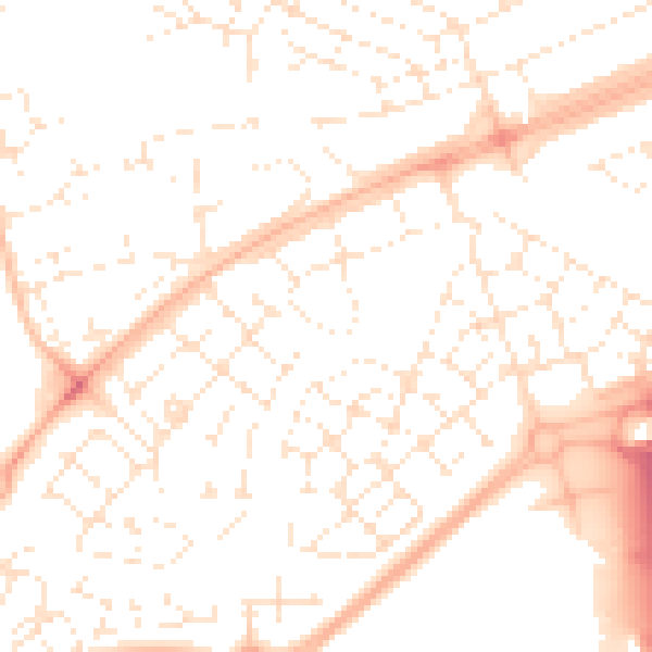
Daytime· 07:00 – 23:00
51.5dB

Night-time· 23:00 – 07:00
39.7dB