7 Hadwells Road, Patchway, Bristol, BS34 5AJ
About 7 Hadwells Road
7 Hadwells Road is an end-of-terrace house in Patchway, Bristol, Bristol (BS34 5AJ). It has a recorded floor area of 85 m² (around 915 sq ft), construction records dating it to 2007-2011 and council tax band C. The latest certificate (May 2024) shows a C (score 69), just inside the C band. Earlier certificates rated it B (November 2011); the latest reading is one band lower. Between certificates, wall efficiency dropped from Very Good to Good and roof efficiency dropped from Very Good to Good. The recommended improvements would push it to B (score 81).
At 85 m² the property is well over the postcode median (36 m² across 7 EPCs), placing it in the larger end of the local stock.
Everything you need to know about 7 Hadwells Road
The true value, the hidden risks and the full sale history, in one report.
Pick your report · every report is £14.99
One time fee only - money back guarantee

The data behind every report


Energy performance
EPC Rating
Property Improvements
Changes detected from historical EPC data
Heating controls changed
More low energy lighting installed
Get a survey for this property
Level 2 HomeBuyer Report
We've checked 10 risk factors against the available data for this property and believe a Level 2 HomeBuyer Report could be a suitable option for you.
From £545 · Includes VAT
Planning history
7 Hadwells Road has no planning applications on record.
But the area is active
11 notable applications nearby — larger schemes and conversions that could reshape the street. The report maps them all.
Sales history & valuation
7 Hadwells Road has no Land Registry sales on file, suggesting it has stayed in the same hands since registration began.
£276,000
Modelled from EPC, postcode comparables.
No sales recorded with HM Land Registry
That can mean the property has never traded since the registry began publishing in 1995, was a new build that hasn't been registered yet, or is held in the same hands long-term.
Median price across the last 5 sales in BS34 5AJ: £167,000 (2021–2011).
Nearby sales in BS34 5AJ
3 Hadwells Road, Patchway, Bristol, BS34 5AJ
Sold Dec 2021
£147,0001 Hadwells Road, Patchway, Bristol, BS34 5AJ
Sold Nov 2019
£94,0002 Hadwells Road, Patchway, Bristol, BS34 5AJ
Sold Sept 2019
£227,5006 Hadwells Road, Patchway, Bristol, BS34 5AJ
Sold Dec 2011
£192,0008 Hadwells Road, Patchway, Bristol, BS34 5AJ
Sold Nov 2011
£190,000
Versus other Hadwells Road homes
7 Hadwells Road is notably below the street on epc rating.
EPC Rating
69 (C)
Street avg 81 (C)
Floor Area
85 m²
Street avg 38 m²
CO₂ Emissions
2.7 t/year
Street avg 1.4 t/year
Everything you need to know about 7 Hadwells Road
The true value, the hidden risks and the full sale history, in one report.
Pick your report · every report is £14.99
One time fee only - money back guarantee
The data behind every report
Similar properties nearby
1 Ashford Road, Patchway
BS34 5DX
1 Birch Close, Patchway
BS34 5SB
1 Brick Hill Way, Patchway
BS34 5UY
1 Bay Tree Close, Patchway
BS34 5EU
1 Cedar Close, Patchway
BS34 5HD
1 Arlingham Way, Patchway
BS34 5NH
1 Donns Close, Patchway
BS34 5JW
1 Eagle Drive, Patchway
BS34 5RJ
The neighbourhood at a glance
Crime
6/mo
Steady year-on-year across the wider district.
Nearest stop
0.1 km
High Leaze Road — bus stop.
Closest school
0.1 km
Charlton Wood Primary Academy. 23 schools nearby.
Go deeper on the local area
A Local Area report breaks down crime, transport links, schools and air quality in depth.
Road noise across the postcode
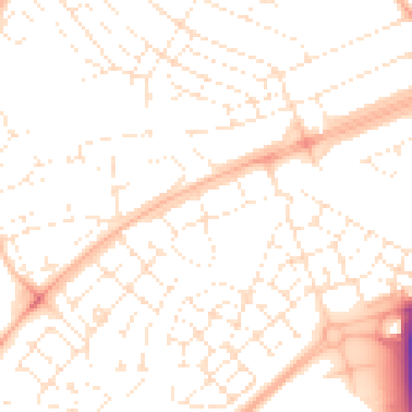
Daytime· 07:00 – 23:00
51.2dB

Night-time· 23:00 – 07:00
39.5dB