10 Margate Street, Bristol, BS3 4SP
About 10 Margate Street
10 Margate Street is a two-bedroom mid-terrace house in Bristol (BS3 4SP). It has a recorded floor area of 86 m² (around 926 sq ft), construction records dating it to before 1900 and council tax band B. The latest certificate (December 2014) shows a D (score 64), on the cusp of jumping into the C band. The recommended improvements would lift it to B (score 83), a 2-band jump. The latest certificate is from December 2014, so improvements made since then won't be reflected. Period features are noted in the property record.
Today's modelled estimate of £417,000 sits 75.2% above the 2015 sale of £238,000. On a £-per-square-foot basis, the last sale (£257/sq ft) was about 24% above the typical sold price in the postcode. On the market in May 2015 and unlisted since — roughly 11 years.
What this property has
Inside
- Bedrooms2
- Dining roomYes
- StudyYes
Outside
- Private gardenYes
Building
- Heating systemGas
- Period featuresYes
Everything you need to know about 10 Margate Street
The true value, the hidden risks and the full sale history, in one report.
Pick your report · every report is £14.99
One time fee only - money back guarantee

The data behind every report


Energy performance
Recommended upgrades on file would lift this property by multiple EPC bands.
EPC Expired
This certificate is over 10 years old and is no longer valid.Expired 30 Dec 2024
EPC Rating
Get a survey for this property
Level 3 Building Survey
Because the property was built before 1919 and has solid (non-cavity) walls, we believe a Level 3 building survey should be considered.
From £1,020 · Includes VAT
Planning history
10 Margate Street has no planning applications on record.
But the area is active
20 notable applications nearby — larger schemes and conversions that could reshape the street. The report maps them all.
Sales history & valuation
10 Margate Street valuation sits well clear of the typical sold price in this postcode.
£417,000
Modelled from EPC, postcode comparables.
£238,000
Recorded with HM Land Registry.
Sales timeline
28 May 2015Most recent
£238,000
Median price across the last 5 sales in BS3 4SP: £430,000 (2025–2024).
Nearby sales in BS3 4SP
Versus other Margate Street homes
10 Margate Street outperforms the street on habitable rooms by a wide margin.
Price per m²
£2,767
Street avg £3,681
Floor Area
86 m²
Street avg 83 m²
Habitable Rooms
5 rooms
Street avg 4 rooms
CO₂ Emissions
3.5 t/year
Street avg 3.9 t/year
Everything you need to know about 10 Margate Street
The true value, the hidden risks and the full sale history, in one report.
Pick your report · every report is £14.99
One time fee only - money back guarantee
The data behind every report
Similar properties nearby
1 Kensal Avenue
BS3 4QY
1 Merioneth Street
BS3 4SL
1 Maidstone Street
BS3 4SW
1 Margate Street
BS3 4SP
1 Alfred Road
BS3 4LE
1 Doudney Court, William Street, Bedminster
BS3 4AP
1 Newport Street
BS3 4ST
1 Fraser Street
BS3 4LZ
The neighbourhood at a glance
Reported crime in the wider district is trending notably upward year-on-year.
Crime
4/mo
Rising year-on-year across the wider district.
Nearest stop
0.1 km
Newport Street — bus stop.
Closest school
0.4 km
Victoria Park Primary School. 43 schools nearby.
Go deeper on the local area
A Local Area report breaks down crime, transport links, schools and air quality in depth.
Road noise across the postcode
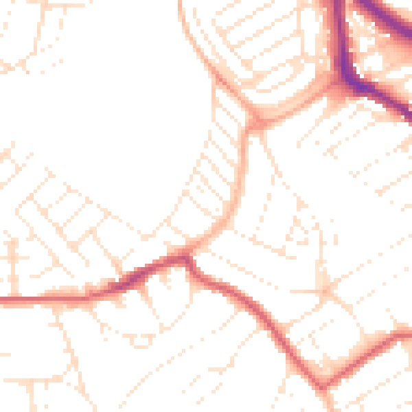
Daytime· 07:00 – 23:00
49.8dB

Night-time· 23:00 – 07:00
39.6dB