7 Alfred Road, Bristol, BS3 4LE
About 7 Alfred Road
7 Alfred Road is a two-bedroom semi-detached house in Bristol (BS3 4LE). It has a recorded floor area of 58 m² (around 624 sq ft), construction records dating it to 1983-1990 and council tax band A. At 58 m² this is the 2nd smallest of 12 units on EPC record in the building, where floor areas span 51–122 m². The building's EPC ratings span E to C, with this unit at the top. On EPC score it ranks first in the building (75 versus a worst of 44). The latest certificate (May 2026) shows a C (score 75), near the top of the C band. The rating has held steady at C across 2 certificates since December 2008. Between certificates, wall efficiency went from Very Poor to Good and lighting went from Very Poor to Very Good; while window efficiency dropped from Good to Average. This certificate was lodged in the last six months, so the rating reflects current condition.
At 58 m² it sits well below the postcode median (98 m² across 11 EPCs), making it one of the more compact homes locally. Its energy rating outperforms most of the postcode (better than 73% of similar EPCs). On the market in June 2016 and unlisted since — roughly 10 years. Across the public record there are 7 sales, relatively high churn for a single property. One planning record on file: subdivision approved in 2000. Past consents include subdivision, meaningful when judging how the property has evolved. Across 1998–2016, sale prices on this property compounded at 11.1% per year. Today's modelled estimate of £260,000 is 29.8% above the 2016 sale price. On a £-per-square-foot basis, the last sale (£321/sq ft) was about 67.5% above the typical sold price in the postcode.
What this property has
Inside
- Bedrooms2
- Bathrooms1
- Dining roomYes
- StudyYes
Everything you need to know about 7 Alfred Road
The true value, the hidden risks and the full sale history, in one report.
Pick your report · from £14.99
One time fee only - money back guarantee

The data behind every report







Energy performance
7 Alfred Road's carbon output is low for the local stock.
EPC Rating
Certificate validity
Valid until 25 May 2036
Property Improvements
Changes detected from historical EPC data
Heating controls upgraded for better temperature management
Windows upgraded, improving insulation
Cavity wall insulation installed
More low energy lighting installed

Get a survey for this property
Level 2 HomeBuyer Report
We've checked 10 risk factors against the available data for this property and believe a Level 2 HomeBuyer Report could be a suitable option for you.
From £545 · Includes VAT
Planning history
Council records show a subdivision application — the property's legal arrangement has been altered.
1 application on record at 7 Alfred Road, Bristol, BS3 4LE
- Nov 2000SubdivisionFullOutcome in report
Conversion of house into two self-contained flats, including external alterations.
- Reference
- 00/03241/F
Unlock 7 Alfred Road, Bristol, BS3 4LE's full planning history
You're seeing the shape of it. The report has the substance.
- Every decision — granted, refused or withdrawn (1 on record)
- All 1 application on this property in full, plus 20 notable nearby
- What the pattern means for extending or converting here
One time fee only - money back guarantee
Sales history & valuation
7 Alfred Road has more than quadrupled in price since its earliest registered sale in 1998.
£260,000
Modelled from EPC, postcode comparables and a sale-price growth of 11.1% per year over 18 years.
£200,300
Growth on file: 11.1% per year over 18 years.
Sales timeline
27 June 2016Most recent
£200,300
+69.7%over 2 years19 December 2013
£118,000
-1.7%over 9 years24 March 2004
£120,000
+20.0%over 11 months13 April 2003
£100,000
+81.8%over 2 years2 July 2000
£55,000
+48.6%over 1 year11 December 1998
£37,000
+19.4%15 September 1998
£31,000
Median price across the last 5 sales in BS3 4LE: £365,000 (2025–2019).
Everything you need to know about 7 Alfred Road
The true value, the hidden risks and the full sale history, in one report.
Pick your report · from £14.99
One time fee only - money back guarantee
The data behind every report
Similar properties nearby
1 Doudney Court, William Street, Bedminster
BS3 4AP
1 Alfred Road
BS3 4LE
1 Maidstone Street
BS3 4SW
1 Margate Street
BS3 4SP
1 Merioneth Street
BS3 4SL
1 Kensal Avenue
BS3 4QY
1 Fraser Street
BS3 4LZ
1 Lambourn Close
BS3 4LX
The neighbourhood at a glance
Rail-style transport is unusually close for this postcode.
Crime
310/mo
Steady year-on-year across the wider district.
Nearest stop
0.0 km
Quantock Road — bus stop.
Closest school
0.4 km
Victoria Park Primary School. 41 schools nearby.
Go deeper on the local area
A Local Area report breaks down crime, transport links, schools and air quality in depth.
Road noise across the postcode
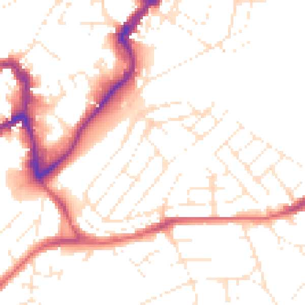
Daytime· 07:00 – 23:00
51.4dB
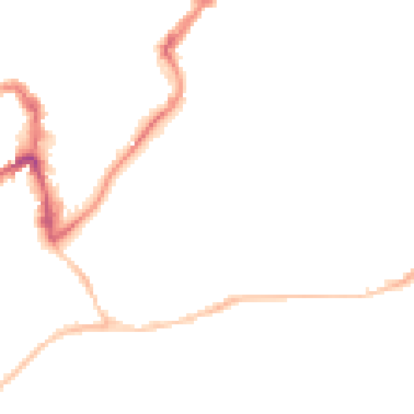
Night-time· 23:00 – 07:00
41.4dB