73 Coronation Road, Southville, Bristol, BS3 1AT
About 73 Coronation Road
73 Coronation Road is a four-bedroom mid-terrace house in Southville, Bristol, Bristol (BS3 1AT). It has a recorded floor area of 197 m² (around 2120 sq ft), construction records dating it to before 1900 and council tax band D. It is a listed building, which means external alterations are tightly controlled but it may qualify for heritage tax reliefs. Period features are noted in the property record. The latest certificate (March 2018) shows a D (score 60), on the cusp of jumping into the C band. The recommended improvements would lift it to B (score 86), a 2-band jump.
At 197 m² the property is well over the postcode median (52 m² across 47 EPCs), placing it in the larger end of the local stock. One planning record on file: a basement excavation approved in 2015. Past consents include a basement excavation, meaningful when judging how the property has evolved. Across 1995–2023, sale prices on this property compounded at 7.5% per year. On a £-per-square-foot basis, the last sale (£307/sq ft) was about 19.2% above the typical sold price in the postcode. Sold March 2023 for £650,000.
What this property has
Inside
- Bedrooms4
- Bathrooms2
- Dining roomYes
Outside
- Private gardenSouth-facing
- ParkingOff street
Building
- Listed buildingYes
- Period featuresYes
Everything you need to know about 73 Coronation Road
The true value, the hidden risks and the full sale history, in one report.
Pick your report · from £14.99
One time fee only - money back guarantee

The data behind every report







Energy performance
73 Coronation Road's carbon output runs well above what efficient homes in the postcode produce.
EPC Rating
Certificate validity
Valid until 21 March 2028

Get a survey for this property
Level 3 Building Survey
Because the property was built before 1919 and is a listed building, we believe a Level 3 building survey should be considered.
From £1,155 · Includes VAT
Planning history
1 application on record at 73 Coronation Road, Southville, Bristol, BS3 1AT
- Mar 2015BasementHeritageOutcome in report
Removal of non structural basement passage wall, reinstatement of basement WC door position.
- Council
- Greater Bedminster Community Partnership
- Documents
- 8 docs on file
- Reference
- 15/00428/LA
Unlock 73 Coronation Road, Southville, Bristol, BS3 1AT's full planning history
You're seeing the shape of it. The report has the substance.
- Every decision — granted, refused or withdrawn (1 on record)
- All 1 application on this property in full, plus 19 notable nearby
- The 8 documents, officer reports & conditions
- What the pattern means for extending or converting here
One time fee only - money back guarantee
Sales history & valuation
Latest sale on 73 Coronation Road was the highest on Land Registry record across the postcode.
£694,000
Modelled from EPC, postcode comparables and a sale-price growth of 7.5% per year over 27 years.
£650,000
Growth on file: 7.5% per year over 27 years.
Sales timeline
9 March 2023Most recent
£650,000
+44.5%over 8 years27 August 2014
£449,950
+36.3%over 5 years8 December 2008
£330,000
+264.6%over 12 years21 December 1995
£90,500
Median price across the last 5 sales in BS3 1AT: £272,500 (2025–2022).
Nearby sales in BS3 1AT
87c, Coronation Road, Southville, Bristol, BS3 1AT
Sold Mar 2025
£272,500Flat 4, 75 Coronation Road, Southville, Bristol, BS3 1AT
Sold Feb 2025
£265,000Flat 2, 75 Coronation Road, Southville, Bristol, BS3 1AT
Sold Jun 2024
£242,000Garden Flat, 85 Coronation Road, Southville, Bristol, BS3 1AT
Sold Mar 2023
£295,00083a, Coronation Road, Southville, Bristol, BS3 1AT
Sold Oct 2022
£285,100
Everything you need to know about 73 Coronation Road
The true value, the hidden risks and the full sale history, in one report.
Pick your report · from £14.99
One time fee only - money back guarantee
The data behind every report
Similar properties nearby
1 Allington Road
BS3 1PS
1 Gathorne Road
BS3 1LR
1 Dalston Road
BS3 1QQ
1 Clift Road
BS3 1RZ
1 Dartmouth Mews, Bedminster
BS3 1EL
1 Catherine Mead Mews, Catherine Mead Street
BS3 1FX
1 Brook Road, Southville
BS3 1AJ
1 Catherine Mead Street
BS3 1XH
The neighbourhood at a glance
Crime
310/mo
Steady year-on-year across the wider district.
Nearest stop
0.1 km
Dean Lane — bus stop.
Closest school
0.3 km
Holy Cross RC Primary School. 39 schools nearby.
Go deeper on the local area
A Local Area report breaks down crime, transport links, schools and air quality in depth.
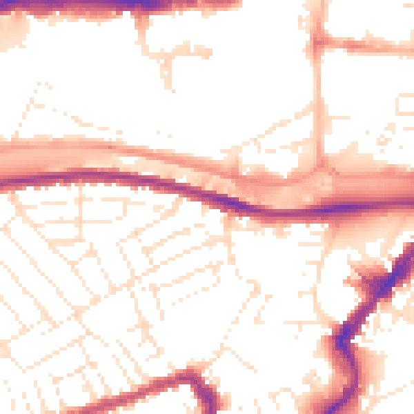
Road noise across the postcode
Daytime· 07:00 – 23:00
53.0dB

Night-time· 23:00 – 07:00
43.4dB