11 Easton Road, Pill, Bristol, BS20 0DT
About 11 Easton Road
11 Easton Road is a three-bedroom mid-terrace house in Pill, Bristol, Bristol (BS20 0DT). It has a recorded floor area of 95 m² (around 1023 sq ft), construction records dating it to 1950-1966 and council tax band B. The latest certificate (May 2024) shows a C (score 77), near the top of the C band. Other recorded features include a conservatory. The home occupies a cul-de-sac position.
At 95 m² the property is well over the postcode median (70 m² across 17 EPCs), placing it in the larger end of the local stock. On a £-per-square-foot basis, the last sale (£298/sq ft) was about 47.4% above the typical sold price in the postcode. Sold November 2024 for £305,000.
Know exactly what you're buying at 11 Easton Road
Before you offer, see what the listing won't tell you, the true value, the red flags and the full history.
Valuation
against the asking price
Risks
planning & flood
Sold prices
similar homes nearby
Trends
the local market
What this property has
Inside
- Bedrooms3
- Bathrooms1
- ConservatoryYes
Outside
- Private gardenRear
- ParkingOff road
- Cul-de-sacYes
Building
- RefurbishedYes
Energy performance
EPC Rating
Planning history
11 Easton Road has no planning applications on record.
The full report still covers planning activity across the surrounding area.
Sales history & valuation
11 Easton Road valuation sits well clear of the typical sold price in this postcode.
£330,000
Modelled from EPC, postcode comparables.
£305,000
Recorded with HM Land Registry.
Sales timeline
29 November 2024Most recent
£305,000
Median price across the last 5 sales in BS20 0DT: £305,000 (2024–2019).
Nearby sales in BS20 0DT
Everything we know about 11 Easton Road, in one report
What it's really worth, what could be wrong, and the planning, sales and area data in full.
- Am I paying too much?
- Is something wrong with it?
- Is the agent's story true?
- Will it hold its value?

Versus other Easton Road homes
Years Held for 11 Easton Road lags the street by a wide margin.
Price per m²
£3,211
Street avg £2,844
Floor Area
95 m²
Street avg 75 m²
Habitable Rooms
5 rooms
Street avg 5 rooms
CO₂ Emissions
2.5 t/year
Street avg 2.4 t/year
Similar properties nearby
1 Hardwick Road, Pill
BS20 0DG
1 Beechwood Road, Easton In Gordano
BS20 0NA
1 Ham Green, Pill
BS20 0EY
1 Back Lane, Pill
BS20 0AX
1 Haberfield Cottages, Happerton Lane, Easton In Gordano
BS20 0QW
1 Anchor Way, Pill
BS20 0JY
1 Eirene Terrace, Pill
BS20 0ET
1 Easton Road, Pill
BS20 0DT
The neighbourhood at a glance
Crime
5/mo
Steady year-on-year across the wider district.
Nearest stop
0.1 km
Newsome Avenue — bus stop.
Closest school
0.3 km
Crockerne Church of England Primary School. 10 schools nearby.
Go deeper on the local area
The full report breaks down crime, transport links, schools and air quality in depth.
Road noise across the postcode
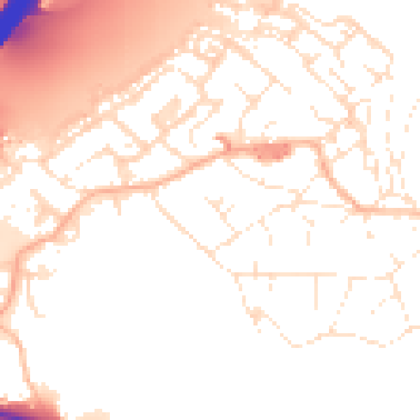
Daytime· 07:00 – 23:00
52.9dB

Night-time· 23:00 – 07:00
43.4dB