26 The Mead, West Wickham, BR4 0BB
About 26 The Mead
26 The Mead is a property in West Wickham (BR4 0BB). It has council tax band F.
Untraded for 29 years, with the last transfer in May 1997. 2 planning records sit against the property, 2 approved, 0 refused. Past consents include an extension, meaningful when judging how the property has evolved. Across 1996–1997, sale prices on this property compounded at 21.1% per year.
Know exactly what you're buying at 26 The Mead
Before you offer, see what the listing won't tell you, the true value, the red flags and the full history.
Already flagged here
Valuation
against the asking price
Risks
planning & flood
Sold prices
similar homes nearby
Trends
the local market
Energy performance
No EPC on record
This property doesn't have an Energy Performance Certificate yet. An EPC is required to sell or let — and unlocks our automated valuation.
Planning history
26 The Mead has 2 separate extension applications on the council record.
- Dec 2013ExtensionFullIn report
Extension: Single storey · Side and rear of property
Single storey side/rear extension.
- Documents
- 16 docs on file
- Reference
- 13/03012/FULL6
- Jun 2012ExtensionFullIn report
Single storey front/side extension
- Documents
- 6 docs on file
- Reference
- 12/00914/FULL6
We flagged 2 things worth checking at 26 The Mead
Independent checks surfaced things a buyer would want to understand before offering. The report explains each one in full, with the underlying data and what to ask.
- Larger development activity nearby
- Recent ownership pattern worth a look
30-day money-back guarantee
Sales history & valuation
26 The Mead changed hands twice within eighteen months — unusual for the area.
£175,000
Growth on file: 21.1% per year over 1 year.
Sales timeline
15 May 1997Most recent
£175,000
+21.1%over 7 months17 October 1996
£144,500
Median price across the last 5 sales in BR4 0BB: £802,500 (2024–2019).
Everything we know about 26 The Mead, in one report
What it's really worth, what could be wrong, and the planning, sales and area data in full.
What we flagged
- Larger development activity nearby
- Recent ownership pattern worth a look

Similar properties nearby
The neighbourhood at a glance
Rail-style transport is unusually close for this postcode.
Crime
3/mo
Steady year-on-year across the wider district.
Nearest stop
0.5 km
Station Road / High Street — bus stop.
Closest school
0.1 km
Hawes Down Primary School. 27 schools nearby.
Go deeper on the local area
The full report breaks down crime, transport links, schools and air quality in depth.
Road noise across the postcode
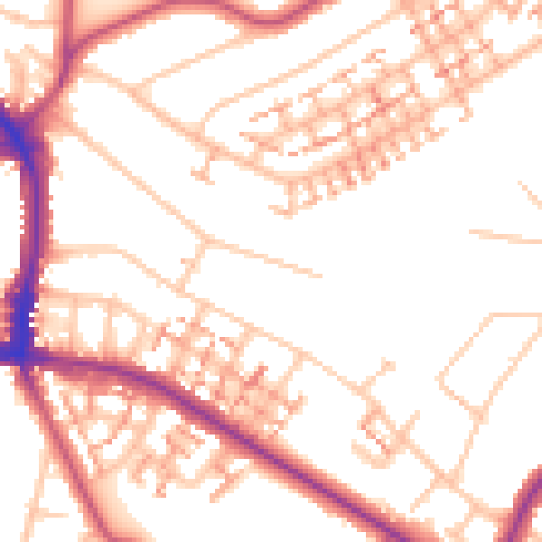
Daytime· 07:00 – 23:00
52.4dB

Night-time· 23:00 – 07:00
41.6dB