29 Hayes Lane, Beckenham, BR3 6QS
About 29 Hayes Lane
29 Hayes Lane is a four-bedroom detached house in Beckenham (BR3 6QS). It has a recorded floor area of 155 m² (around 1668 sq ft), construction records dating it to 1930-1949 and council tax band G. The latest certificate (March 2022) shows a D (score 55), a step below the typical UK home. When first surveyed in June 2010 the rating was E, the property has climbed 1 band since. Between certificates, roof efficiency dropped from Very Good to Average and hot-water efficiency dropped from Very Good to Good. The recommended improvements would push it to C (score 72). Other recorded features include a conservatory. Our model identifies extension potential, subject to local planning policy.
Across 1998–2022, sale prices on this property compounded at 7.5% per year. Today's modelled estimate of £1,077,000 is 12.8% below the 2022 sale of £1,235,000, running counter to the wider postcode trend, which makes the EPC and condition history especially worth a look. On a £-per-square-foot basis, the last sale (£740/sq ft) was about 199.2% above the typical sold price in the postcode. Sold July 2022 for £1,235,000. Across the public record there are 6 sales, relatively high churn for a single property. That sale was during the post-pandemic price surge, when transactions cleared materially above pre-2020 trend. 4 planning records sit against the property, 2 approved, 0 refused. Past consents include an extension, meaningful when judging how the property has evolved.
Know exactly what you're buying at 29 Hayes Lane
Before you offer, see what the listing won't tell you, the true value, the red flags and the full history.
Already flagged here
Valuation
against the asking price
Risks
planning & flood
Sold prices
similar homes nearby
Trends
the local market
What this property has
Inside
- Bedrooms4
- Bathrooms1
- Open-plan layoutYes
- Dining roomYes
- EnsuiteYes
- ConservatoryYes
Outside
- Private gardenYes
- GarageYes
Building
- Extension potentialPossible
Energy performance
29 Hayes Lane's carbon output runs well above what efficient homes in the postcode produce.
EPC Rating
Property Improvements
Changes detected from historical EPC data
Hot water efficiency decreased
Low energy lighting percentage decreased
Hot water system changed
Window efficiency improved
More low energy lighting installed
Hot water system upgraded
Roof insulation improved
Planning history
- Mar 2026OutbuildingOutlineIn report
Construction of outbuilding to rear garden. LAWFUL DEVELOPMENT CERTIFICATE (PROPOSED)
- Documents
- 2 docs on file
- Reference
- 26/00153/LDC
- Nov 2023OutlineIn report
Chimney Removal x 2 (Lawful Development Certificate Proposed)
- Documents
- 13 docs on file
- Reference
- 23/03411/PLUD
We flagged 1 thing worth checking at 29 Hayes Lane
Independent checks surfaced things a buyer would want to understand before offering. The report explains each one in full, with the underlying data and what to ask.
- Larger development activity nearby
30-day money-back guarantee
Sales history & valuation
Latest sale on 29 Hayes Lane was the highest on Land Registry record across the postcode.
£1,077,000
Modelled from EPC, postcode comparables and a sale-price growth of 7.5% per year over 24 years.
£1,235,000
Growth on file: 7.5% per year over 24 years.
Sales timeline
6 July 2022Most recent
£1,235,000
+40.3%over 7 years23 April 2015
£880,000
+7.6%over 1 year26 June 2013
£818,000
+27.8%over 2 years1 December 2010
£640,000
+9.8%over 4 years6 June 2006
£583,000
+171.2%over 8 years18 March 1998
£215,000
Median price across the last 5 sales in BR3 6QS: £810,000 (2024–2009).
Everything we know about 29 Hayes Lane, in one report
What it's really worth, what could be wrong, and the planning, sales and area data in full.
What we flagged
- Larger development activity nearby

Versus other Hayes Lane homes
29 Hayes Lane outperforms the street on price per m² by a wide margin.
Price per m²
£7,968
Street avg £4,293
Floor Area
155 m²
Street avg 181 m²
Habitable Rooms
6 rooms
Street avg 7 rooms
CO₂ Emissions
7.2 t/year
Street avg 6.5 t/year
Similar properties nearby
1 Den Close
BR3 6RP
1 Barnfield Wood Close
BR3 6SY
1 Howards Crest Close
BR3 6NW
1 Brograve Gardens
BR3 6NH
1 Barnfield Wood Road
BR3 6SR
1 Courtenay Drive
BR3 6YE
1 Fairway Gardens
BR3 6YL
1 Ashdown Close
BR3 6TJ
The neighbourhood at a glance
Reported crime in the wider district is trending notably upward year-on-year.
Crime
9/mo
Rising year-on-year across the wider district.
Nearest stop
0.2 km
Kenwood Drive — bus stop.
Closest school
0.5 km
Clare House Primary School. 33 schools nearby.
Go deeper on the local area
The full report breaks down crime, transport links, schools and air quality in depth.
Road noise across the postcode
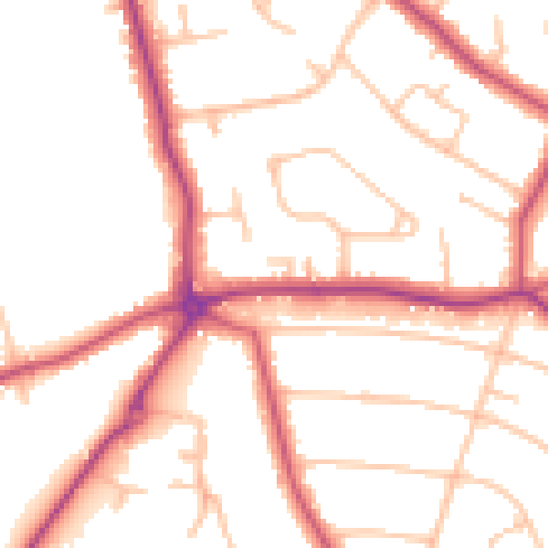
Daytime· 07:00 – 23:00
51.0dB

Night-time· 23:00 – 07:00
41.5dB