6 Cornford Close, Portslade, Brighton, BN41 2JE
About 6 Cornford Close
6 Cornford Close is a property in Portslade, Brighton, Brighton (BN41 2JE). It has council tax band E.
It hasn't traded since May 2002, a hold of 24 years that's notably long for the area. 3 planning records sit against the property, 1 approved, 2 refused. Past consents include an extension and a porch, meaningful when judging how the property has evolved. Across 1997–2002, sale prices on this property compounded at 13.7% per year.
Know exactly what you're buying at 6 Cornford Close
Before you offer, see what the listing won't tell you, the true value, the red flags and the full history.
Already flagged here
Valuation
against the asking price
Risks
planning & flood
Sold prices
similar homes nearby
Trends
the local market
Energy performance
No EPC on record
This property doesn't have an Energy Performance Certificate yet. An EPC is required to sell or let — and unlocks our automated valuation.
Planning history
A a single-storey rear extension application was refused at 6 Cornford Close in 2025.
- Jan 2026PorchFullIn report
Extension: Single storey · Rear of property
Erection of single storey rear extension, front infill extension and a front porch extension.
- Agent
- Studio Grit Architects
Extension- Documents
- 26 docs on file
- Reference
- BH2025/02820
- Nov 2025ExtensionOutlineIn report
Extension: Single storey · Rear of property
Certificate of lawfulness for proposed single storey rear extension.
- Agent
- Miss Mariya Banderova
- Documents
- 21 docs on file
- Reference
- BH2025/02300
We flagged 1 thing worth checking at 6 Cornford Close
Independent checks surfaced things a buyer would want to understand before offering. The report explains each one in full, with the underlying data and what to ask.
- Larger development activity nearby
30-day money-back guarantee
Sales history & valuation
£165,000
Growth on file: 13.7% per year over 5 years.
Sales timeline
9 May 2002Most recent
£165,000
+87.6%over 4 years16 June 1997
£87,950
Median price across the last 5 sales in BN41 2JE: £418,000 (2024–2022).
Nearby sales in BN41 2JE
14 Cornford Close, Portslade, Brighton, BN41 2JE
Sold Aug 2024
£377,50012 Cornford Close, Portslade, Brighton, BN41 2JE
Sold Jul 2023
£457,0007 Cornford Close, Portslade, Brighton, BN41 2JE
Sold Jun 2023
£418,0004 Cornford Close, Portslade, Brighton, BN41 2JE
Sold Feb 2023
£323,0008 Cornford Close, Portslade, Brighton, BN41 2JE
Sold Sept 2022
£424,300
Everything we know about 6 Cornford Close, in one report
What it's really worth, what could be wrong, and the planning, sales and area data in full.
What we flagged
- Larger development activity nearby

Similar properties nearby
1 Coach House Mews, South Street, Portslade
BN41 2LE
1 Bush Farm Drive, Portslade
BN41 2GY
1 Compass Court, Oakdene Crescent, Portslade
BN41 2SD
1 Cornford Close, Portslade
BN41 2JE
1 Chrisdory Road, Portslade
BN41 2WQ
1 Badger Close, Portslade
BN41 2EQ
1 Clover Way, Portslade
BN41 2ET
1 Chalky Road, Portslade
BN41 2WF
The neighbourhood at a glance
Crime
4/mo
Steady year-on-year across the wider district.
Nearest stop
0.1 km
Foredown Tower — bus stop.
Closest school
0.4 km
Peter Gladwin Primary School. 20 schools nearby.
Go deeper on the local area
The full report breaks down crime, transport links, schools and air quality in depth.
Road noise across the postcode
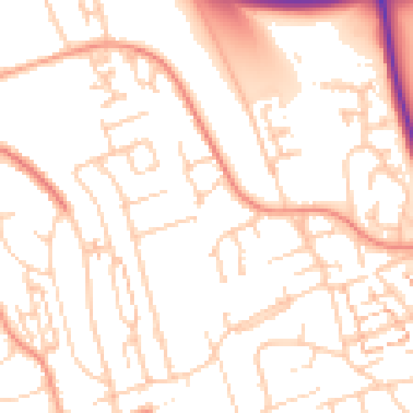
Daytime· 07:00 – 23:00
51.8dB

Night-time· 23:00 – 07:00
41.0dB