208a, Old Shoreham Road, Portslade, Brighton, BN41 1UB
About 208a
208a is a semi-detached house in Portslade, Brighton, Brighton (BN41 1UB). It has a recorded floor area of 62 m² (around 667 sq ft), construction records dating it to 1930-1949 and council tax band B. The latest certificate (February 2021) shows a D (score 64), on the cusp of jumping into the C band. When first surveyed in March 2010 the rating was G, the property has climbed 3 bands since. Between certificates, hot-water efficiency went from Very Poor to Good, lighting went from Good to Very Good and main heating went from Very Poor to Good. The recommended improvements would push it to C (score 73). At 62 m² this is the 27th smallest of 47 units on EPC record in the building, where floor areas span 27–162 m². The building's EPC ratings span E to B across 47 units on file.
Held since June 2005 — that's 21 years off the open market, well above the local norm. Across 1996–2005, sale prices on this property compounded at 16.3% per year. Today's modelled estimate of £239,000 sits 59.3% above the 2005 sale of £150,000. On a £-per-square-foot basis, the last sale (£225/sq ft) was about 30.5% above the typical sold price in the postcode. At 62 m² it's 26.5% larger than the typical home in the postcode (49 m² median across 46 EPCs).
Know exactly what you're buying at 208a
Before you offer, see what the listing won't tell you, the true value, the red flags and the full history.
Already flagged here
Valuation
against the asking price
Risks
planning & flood
Sold prices
similar homes nearby
Trends
the local market
Energy performance
EPC Rating
Property Improvements
Changes detected from historical EPC data
Replaced storage heaters with gas boiler
Connected to mains gas supply
Heating controls upgraded for better temperature management
Hot water system upgraded
More low energy lighting installed
Planning history
208a has no planning applications on record.
Notable planning nearby
7applications of note in the surrounding area
We flagged 2 things worth checking at 208a
Independent checks surfaced things a buyer would want to understand before offering. The report explains each one in full, with the underlying data and what to ask.
- Signs of HMO activity in the area
- Larger development activity nearby
30-day money-back guarantee
Sales history & valuation
208a has more than quadrupled in price since its earliest registered sale in 1996.
£239,000
Modelled from EPC, postcode comparables and a sale-price growth of 16.3% per year over 9 years.
£150,000
Growth on file: 16.3% per year over 9 years.
Sales timeline
9 June 2005Most recent
£150,000
+158.6%over 6 years27 April 1999
£58,000
+54.7%over 3 years11 April 1996
£37,500
Median price across the last 5 sales in BN41 1UB: £360,000 (2025–2021).
Nearby sales in BN41 1UB
194c, Old Shoreham Road, Portslade, Brighton, BN41 1UB
Sold Jul 2025
£130,000192 Old Shoreham Road, Portslade, Brighton, BN41 1UB
Sold Dec 2024
£360,000178 Old Shoreham Road, Portslade, Brighton, BN41 1UB
Sold Nov 2023
£640,000Ground Floor Flat, 206 Old Shoreham Road, Portslade, Brighton, BN41 1UB
Sold May 2022
£327,500170 Old Shoreham Road, Portslade, Brighton, BN41 1UB
Sold Feb 2021
£470,000
Everything we know about 208a, in one report
What it's really worth, what could be wrong, and the planning, sales and area data in full.
What we flagged
- Signs of HMO activity in the area
- Larger development activity nearby

Versus other Old Shoreham Road homes
On years held, 208a stands well clear of the street.
Price per m²
£2,419
Street avg £2,379
Floor Area
62 m²
Street avg 51 m²
Habitable Rooms
2 rooms
Street avg 2 rooms
CO₂ Emissions
2.9 t/year
Street avg 2.1 t/year
Similar properties nearby
1 Beaconsfield Road, Portslade
BN41 1XA
1 Links Close, Portslade
BN41 1XN
1 Old Mill Close, Portslade
BN41 1PQ
1 Eastbrook Road, Portslade
BN41 1LN
1 Laylands Court, Portslade
BN41 1PU
1 Shelldale Avenue, Portslade
BN41 1LH
1 Gladstone Road, Portslade
BN41 1LJ
1 Jubilee Road, Portslade
BN41 1SU
The neighbourhood at a glance
Rail-style transport is unusually close for this postcode.
Crime
4/mo
Steady year-on-year across the wider district.
Nearest stop
0.0 km
Romany Close — bus stop.
Closest school
0.3 km
Brackenbury Primary School. 22 schools nearby.
Go deeper on the local area
The full report breaks down crime, transport links, schools and air quality in depth.
Road noise across the postcode
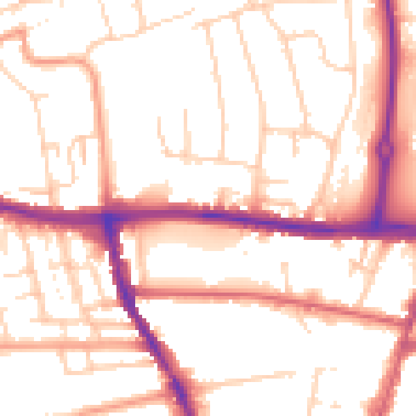
Daytime· 07:00 – 23:00
53.1dB

Night-time· 23:00 – 07:00
43.7dB